Arunachal Pradesh Place Names: India Standardises 27 Geographic Features
Why in News?
On 7 August 2026, the Government of India, in consultation with the Government of Arunachal Pradesh, formally identified 27 places and geographic features by standard names on official Survey of India maps.
- The Ministry of Home Affairs announcement was issued through the Press Information Bureau and directs readers to the Survey of India State Maps portal for the official map.
- The list consists of 21 land areas, four passes, one lake and one monument; it is not a list of 27 towns or newly created administrative units.
- The four passes are Dzo La, Riza La, Pukur La and Thag La; the lake is Sambho Sarovar and the monument is Sher-e-Thapa Memorial.
- China criticised the move on 9 August, according to The Hindu, and linked it to the wider atmosphere surrounding the unresolved India-China boundary question.
- The step follows repeated Chinese attempts to issue its own names for places in Arunachal Pradesh, which India regards as an integral and inalienable part of the country.
- A geographic name is an administrative and informational identifier: it connects maps, databases, public communication, emergency response and local usage to the same feature.
- In a disputed borderland, naming also becomes a form of symbolic state practice, but a name alone does not create title or settle a boundary under international law.
- For UPSC answers, separate three layers: technical standardisation by the national mapping agency, sovereign assertion by the State, and diplomatic negotiation over the boundary.
UPSC Relevance
Prelims Relevance
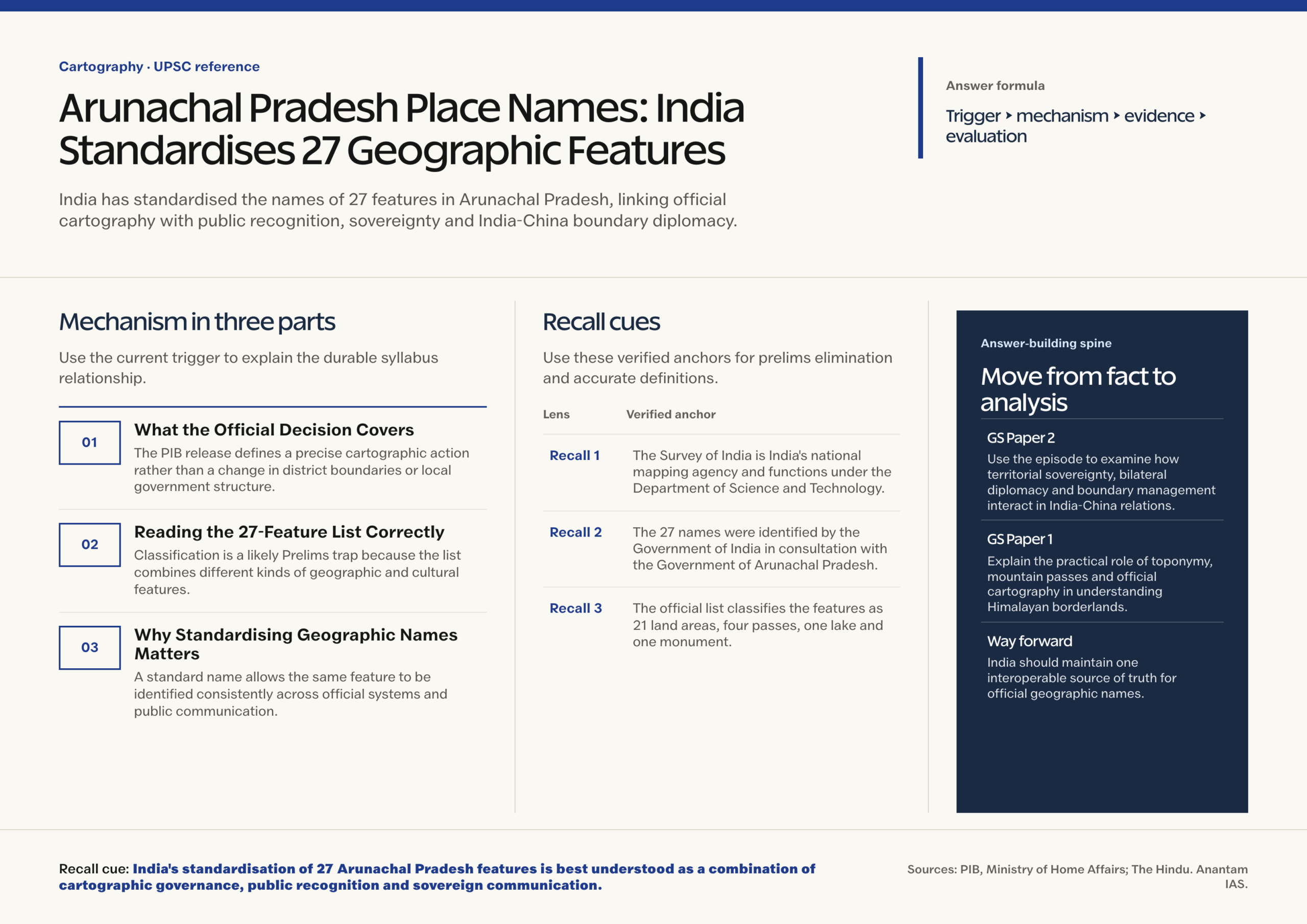
- The Survey of India is India’s national mapping agency and functions under the Department of Science and Technology.
- The 27 names were identified by the Government of India in consultation with the Government of Arunachal Pradesh.
- The official list classifies the features as 21 land areas, four passes, one lake and one monument.
- Dzo La, Riza La, Pukur La and Thag La are the four mountain passes in the notified list.
- Sambho Sarovar is classified as a lake, while Sher-e-Thapa Memorial is classified as a monument.
- The remaining named features include Longju, Maja, Bisa, Bara Kundun, Chhota Kundun, Dhan Bari, Pritnagar, Buddhamandir, Jairampur, Teritnagar, Ramnagar, Jaswant Garh, Sagar, Padma, Jyotinagar, Baisakhi, Chhota Ropuk, Bara Ropuk, Shivaji Nagar, Sunpura and Kamlang Nagar.
Mains Relevance
GS Paper 2
- Use the episode to examine how territorial sovereignty, bilateral diplomacy and boundary management interact in India-China relations.
- Assess why symbolic disputes over names can affect the political climate even when they do not alter the legal merits of competing territorial claims.
GS Paper 1
- Explain the practical role of toponymy, mountain passes and official cartography in understanding Himalayan borderlands.
- Show how local place names preserve cultural memory and help connect physical geography with administrative knowledge.
Essay
- Maps are not merely pictures of territory; they are instruments through which societies organise memory, authority and public knowledge.
Background and Context
What the Official Decision Covers
The PIB release defines a precise cartographic action rather than a change in district boundaries or local government structure.
- The Union government and Arunachal Pradesh government identified standard place and feature names for inclusion on Survey of India maps.
- The stated purpose is to facilitate accurate recognition and better public awareness of the places and features.
- The release does not describe the exercise as creating new villages, renaming districts or changing the State’s administrative divisions.
- The official map, rather than a media illustration or an AI-generated map, remains the authoritative spatial reference for the listed features.
Reading the 27-Feature List Correctly
Classification is a likely Prelims trap because the list combines different kinds of geographic and cultural features.
- The largest category is land area, containing 21 entries such as Longju, Maja, Bisa, Jairampur, Jaswant Garh and Sunpura.
- The pass category contains exactly four entries: Dzo La, Riza La, Pukur La and Thag La.
- The two singular categories are Sambho Sarovar as the lake and Sher-e-Thapa Memorial as the monument.
- The classification shows why ’27 places’ is shorthand; the official description is places/features, and not every entry is a settlement.
Why Standardising Geographic Names Matters
A standard name allows the same feature to be identified consistently across official systems and public communication.
- Toponymic standardisation reduces ambiguity across maps, gazetteers, databases, signage and government records.
- Reliable names support emergency services, infrastructure planning, census work, logistics, navigation and the exchange of geospatial information.
- Standardisation should document local pronunciation, language and historical usage so that technical consistency does not erase indigenous cultural knowledge.
- Digital systems also need stable identifiers and metadata because a single place may have spelling variants across scripts, datasets and historical records.
Survey of India and Cartographic Authority
Institutional authority is central to the story because official names acquire practical force through an official mapping system.
- The Survey of India is the country’s national mapping agency under the Department of Science and Technology.
- Its maps and geospatial products serve public administration, development, scientific work and national requirements; they are distinct from informal web maps or private illustrations.
- Consultation with the State government matters because local administration and communities hold essential knowledge about usage, language and feature identity.
- An accountable naming process needs a source ledger, revision history and public correction route so that errors can be fixed without weakening confidence in the dataset.
Way Forward
Build an Authoritative Toponymic Register
- Link every approved name to a stable feature identifier, classification, language, transliteration, provenance and revision date.
- Synchronise the register across Survey of India maps, State records, disaster-management systems and other public geospatial platforms.
- Record oral history, pronunciation and customary usage with village institutions, scholars and relevant State bodies.
- Create a transparent correction process for spelling, duplication and feature classification without politicising routine technical revisions.
Conclusion
- India’s standardisation of 27 Arunachal Pradesh features is best understood as a combination of cartographic governance, public recognition and sovereign communication .
- The wider lesson is one of calibrated statecraft: strengthen authoritative maps and local participation, answer unilateral claims clearly, and keep the boundary-management and diplomatic channels capable of preventing symbolic disputes from becoming security crises.
UPSC Practice Questions
Prelims MCQ 1
With reference to the 27 places/features standardised on official maps of Arunachal Pradesh in August 2026, consider the following statements:
- The list includes four passes.
- Sambho Sarovar is classified as a lake.
- Sher-e-Thapa Memorial is classified as a monument.
How many of the above statements are correct?
(a) Only one (b) Only two (c) All three (d) None
Answer: (c) All three
Explanation:
All three statements match the PIB list. Dzo La, Riza La, Pukur La and Thag La are the four passes; Sambho Sarovar is the sole lake and Sher-e-Thapa Memorial the sole monument. The other 21 entries are classified as land areas.
Prelims MCQ 2
The Survey of India, which carries the standard names on its official maps, functions under which Union ministry?
(a) Ministry of Home Affairs (b) Ministry of Earth Sciences (c) Ministry of Science and Technology (d) Ministry of Housing and Urban Affairs
Answer: (c) Ministry of Science and Technology
Explanation:
The Survey of India is the national mapping agency under the Department of Science and Technology, Ministry of Science and Technology. The August 2026 announcement itself was issued by the Ministry of Home Affairs after consultation with Arunachal Pradesh.
UPSC Mains Questions
- Official geographic names are instruments of governance as well as expressions of sovereignty. Discuss with reference to India’s standardisation of 27 places and features in Arunachal Pradesh.
- Unilateral renaming neither settles a boundary dispute nor leaves bilateral relations unaffected. Analyse this statement in the context of India-China relations.
Sources: PIB, Ministry of Home Affairs and The Hindu.
Frequently Asked Questions
What did India do regarding 27 places in Arunachal Pradesh?
On 7 August 2026, the Government of India, in consultation with Arunachal Pradesh, identified standard names for 27 places and features on official Survey of India maps. PIB said the purpose was accurate recognition and better public awareness. The step.
What types of features are included in the list?
The official list contains 21 land areas, four passes, one lake and one monument. The passes are Dzo La, Riza La, Pukur La and Thag La. Sambho Sarovar is the lake, and Sher-e-Thapa Memorial is the monument. This classification is.
Why is the Survey of India important in this matter?
The Survey of India is India’s national mapping agency under the Department of Science and Technology. Placing standard names on its official maps gives government departments and the public an authoritative reference for geography, databases and administration, unlike an informal.
Why did China object to India’s naming exercise?
China claims Arunachal Pradesh and portrayed India’s move as a unilateral action affecting the climate of bilateral relations. India rejects that claim and has repeatedly stated that Arunachal Pradesh is an integral and inalienable part of India. The dispute makes.
Does naming a place establish sovereignty under international law?
A name can demonstrate administration, public communication and a State’s asserted position, but it does not by itself settle territorial title or move a boundary. Boundary claims are evaluated through a wider body of legal, historical and administrative evidence, effective.