Equal-Area World Maps: UN Resolution and India’s Boundary Caveat
Why in News?
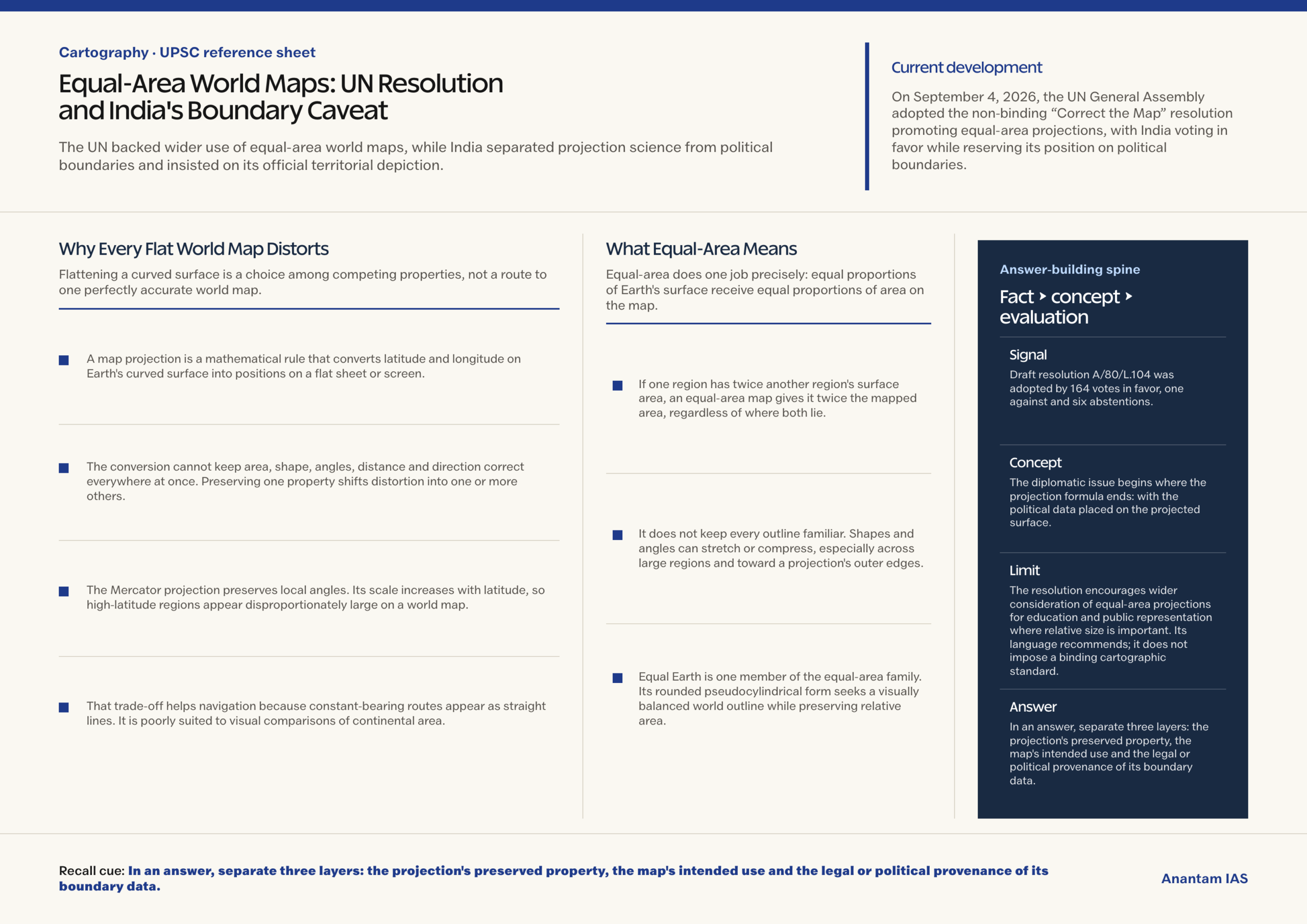
On September 4, 2026, the UN General Assembly adopted the non-binding “Correct the Map” resolution promoting equal-area projections, with India voting in favor while reserving its position on political boundaries.
- Draft resolution A/80/L.104 was adopted by 164 votes in favor, one against and six abstentions.
- The measure encourages equal-area methods where comparing landmass size matters; it does not compel states to use one projection for every map.
- India’s explanation supported the equal-area principle without endorsing Equal Earth or any other single projection.
- India later said depictions of Jammu and Kashmir and Ladakh must follow India’s official map, separating territorial claims from projection choice.
- The resolution also encourages teaching the characteristics, limitations and appropriate applications of projections, making critical map literacy part of its educational purpose.
- A projection decides how a curved Earth is flattened. The boundary lines and place names drawn on that surface come from a separate political dataset.
- This distinction prevents a common error: mathematical preservation of area does not authenticate the legal status, ownership or boundary of any territory.
UPSC Relevance
Prelims Relevance
- An equal-area projection preserves proportional area, but it must distort shape, angle, distance or direction in some way.
- The Mercator projection is conformal: it preserves local angles and supports navigation, while increasingly enlarging apparent area toward the poles.
- Equal Earth is an equal-area, pseudocylindrical world-map projection introduced by Bojan Šavrič, Tom Patterson and Bernhard Jenny.
- A UN General Assembly resolution is ordinarily recommendatory rather than legally binding on member states.
- A map’s projection and its boundary dataset are separate layers; changing one does not validate the other.
Mains Relevance
GS Paper 1
- Salient features of world physical geography: map projections, distortion and the use of equal-area maps for comparing regions.
- How cartographic choices shape geographic perception, especially the apparent size of equatorial and high-latitude landmasses.
GS Paper 2
- Important international institutions: the recommendatory character of General Assembly resolutions and member-state explanations of vote.
- India’s separation of support for a scientific mapping principle from its stated position on sovereignty and territorial depiction.
Essay
- Tools that represent reality also influence how societies perceive scale, importance and equality.
Background and Context
Why Every Flat World Map Distorts
Flattening a curved surface is a choice among competing properties, not a route to one perfectly accurate world map.
- A map projection is a mathematical rule that converts latitude and longitude on Earth’s curved surface into positions on a flat sheet or screen.
- The conversion cannot keep area, shape, angles, distance and direction correct everywhere at once. Preserving one property shifts distortion into one or more others.
- The Mercator projection preserves local angles. Its scale increases with latitude, so high-latitude regions appear disproportionately large on a world map.
- That trade-off helps navigation because constant-bearing routes appear as straight lines. It is poorly suited to visual comparisons of continental area.
- Projection choice should follow purpose: navigation needs differ from thematic mapping, geographic education and comparisons of landmass size. A classroom area comparison does not need a navigator’s straight bearing.
What Equal-Area Means
Equal-area does one job precisely: equal proportions of Earth’s surface receive equal proportions of area on the map.
- If one region has twice another region’s surface area, an equal-area map gives it twice the mapped area, regardless of where both lie.
- It does not keep every outline familiar. Shapes and angles can stretch or compress, especially across large regions and toward a projection’s outer edges.
- Equal Earth is one member of the equal-area family. Its rounded pseudocylindrical form seeks a visually balanced world outline while preserving relative area.
- Other equal-area projections also exist, including Mollweide and cylindrical equal-area forms. Equal-area is a property, not the name of one mandatory design.
- This is the exam-worthy distinction: “area-preserving” does not mean free of distortion. It identifies which quantity the projection protects while the remaining geometric properties carry the trade-off.
What the Resolution and India's Caveat Mean
The diplomatic issue begins where the projection formula ends: with the political data placed on the projected surface.
- The resolution encourages wider consideration of equal-area projections for education and public representation where relative size is important. Its language recommends; it does not impose a binding cartographic standard.
- The text and explanations recognized that different projections suit different uses. The measure did not ban Mercator or require one projection for navigation, regional maps or operational work.
- India voted in favor but said support was limited to the broader equal-area principle, not endorsement of Equal Earth, a website or one political map.
- A projection transforms coordinates. A separate dataset supplies borders, disputed-territory markings and place names, so projection science cannot settle territorial sovereignty.
- India’s boundary caveat applies to that political layer: it insisted that Jammu and Kashmir and Ladakh be depicted according to India’s official map.
Way Forward
Teach Purpose, Property and Provenance Together
Map literacy improves when users can see what a map preserves, what it distorts and where its political data came from.
- Schools and public institutions should label the projection and explain its intended use instead of presenting a flat world map as a neutral mirror of the globe.
- Area-comparison lessons should use an equal-area projection, while navigation and local mapping should retain projections suited to their own tasks.
- Publishers should identify the source and date of boundary data separately from the projection, especially where territorial depictions are contested.
- International bodies should keep technical guidance projection-neutral and avoid treating a projection’s mathematics as approval of any accompanying political map.
Conclusion
- The resolution promotes better comparison of landmass size through equal-area methods; it is non-binding and neither creates a universal map nor resolves political boundaries.
- In an answer, separate three layers: the projection’s preserved property, the map’s intended use and the legal or political provenance of its boundary data.
UPSC Practice Questions
Prelims MCQ 1
With reference to map projections, consider the following statements:
- An equal-area projection preserves proportional area between mapped regions.
- The Mercator projection preserves local angles but enlarges apparent area toward high latitudes.
- An equal-area projection can also preserve shape, distance and direction everywhere on a world map.
How many of the above statements are correct?
(a) Only one (b) Only two (c) All three (d) None
Answer: (b) Only two
Explanation:
Statements 1 and 2 are correct. Flattening Earth requires trade-offs, so preserving area does not preserve all other geometric properties everywhere.
Prelims MCQ 2
Which statement best describes the UN General Assembly’s September 2026 equal-area map resolution?
(a) It legally replaced every UN map with one Equal Earth political map (b) It authenticated the boundaries shown on the Equal Earth website (c) It encouraged equal-area approaches where relative landmass size matters without creating a binding universal map (d) It prohibited the Mercator projection for navigation
Answer: (c) It encouraged equal-area approaches where relative landmass size matters without creating a binding universal map
Explanation:
The resolution is non-binding and supports area-conscious projection choices. It neither mandates one map nor authenticates political boundaries or bans navigational use of Mercator.
UPSC Mains Questions
- No flat map can be accurate in every cartographic property. Explain the trade-offs among area, shape, direction and distance, and assess the educational value of equal-area projections.
- Projection science and political cartography are distinct layers of a map. Discuss this distinction in the context of the UN equal-area resolution and India’s explanation of vote.
Sources: United Nations General Assembly transcript and Indian Express.
Frequently Asked Questions
What is an equal-area map projection?
It is a projection that preserves proportional surface area. A region twice as large as another occupies twice the mapped area, though their shapes, angles or distances may be distorted.
Did the UN make Equal Earth the mandatory world map?
No. The General Assembly resolution is non-binding and encourages equal-area approaches where relative size matters. It does not impose one projection for every country, institution or use.
Why does the Mercator projection enlarge high-latitude regions?
Mercator’s scale increases away from the equator so that local angles and constant-bearing navigation are preserved. The same scaling makes high-latitude landmasses appear larger than their relative area.
Does an equal-area projection validate the boundaries shown on a map?
No. The projection controls geometric transformation, while a separate dataset supplies borders and labels. Area preservation cannot authenticate sovereignty, territorial status or a disputed boundary.
What was India’s position on the resolution?
India supported the equal-area principle without endorsing one projection or political map. It also insisted that Jammu and Kashmir and Ladakh be depicted according to India’s official map.