Indonesia’s Magnitude 7.7 Earthquake: Subduction Zones and Tsunami Risk
Why in News?
A major magnitude 7.7 earthquake struck the Flores Sea region of Indonesia early on August 15, 2026, local and Indian time.
- The USGS event identifier is us6000tkt2; its reviewed magnitude type is Mww, or moment magnitude derived from a W-phase moment-tensor solution.
- The origin time was 21:58:21 UTC on August 14, equivalent to 03:28:21 IST on August 15. The epicentre was at about 8.31° south latitude and 121.35° east longitude.
- USGS described the event as shallow reverse faulting off the northern coast of East Nusa Tenggara, in a region shaped by convergence between the Australian and Sunda plates.
- Its preliminary mechanism and location indicate that rupture likely occurred on a thrust fault within the overriding Sunda plate. It should not be casually described as a rupture directly on the Sunda Trench megathrust, which lies.
- Indonesia’s Meteorology, Climatology and Geophysics Agency, BMKG, issued a tsunami warning after the earthquake. Such a warning is a protective decision under uncertainty, not proof that a damaging tsunami has already formed.
- The earthquake occurred north of Flores, while the Sunda Trench, where the Australian plate descends beneath the Sunda plate, lies roughly 350 km south of the event according to USGS.
- USGS estimates relative northward motion of the Australian plate at about 69 mm per year at this location, but deformation is distributed across a complex plate-boundary zone rather than one simple fault line.
- A tsunami warning system must act before every parameter is final. Initial seismic data support a rapid forecast; tide gauges, deep-ocean sensors and revised source models then confirm, revise or cancel the threat.
UPSC Relevance
Prelims Relevance
- Hypocentre or focus is the point within Earth where rupture begins; the epicentre is the point vertically above it on the surface.
- Moment magnitude, written Mw or Mww for a W-phase solution, estimates earthquake size from the seismic moment and is more reliable than older scales for very large events.
- A reverse fault forms under compression when the hanging wall moves upward relative to the footwall. A low-angle reverse fault is called a thrust fault.
- A subduction zone forms where one lithospheric plate sinks beneath another. The surface expression may be an ocean trench, but earthquakes can also occur within the descending slab or overriding plate.
- The Sunda Trench runs along the southern side of the Indonesian island arc. The Flores region also contains active back-arc thrust structures north of the volcanic arc.
- Shallow offshore reverse faulting can favour vertical seafloor displacement, but magnitude alone cannot establish whether a destructive tsunami has been generated.
Mains Relevance
GS Paper 1
- Plate tectonics of the Sunda arc, including subduction, overriding-plate deformation, back-arc thrusting and shallow-focus earthquakes.
- Difference between an earthquake’s point location and the much larger fault area that actually ruptures.
GS Paper 3
- Multi-hazard early warning systems that combine rapid detection, modelling, observation, communication and last-mile action.
- Risk as the interaction of hazard, exposure, vulnerability and capacity, rather than magnitude as a stand-alone measure.
Essay
- Preparedness is the institutional ability to act before uncertainty has disappeared.
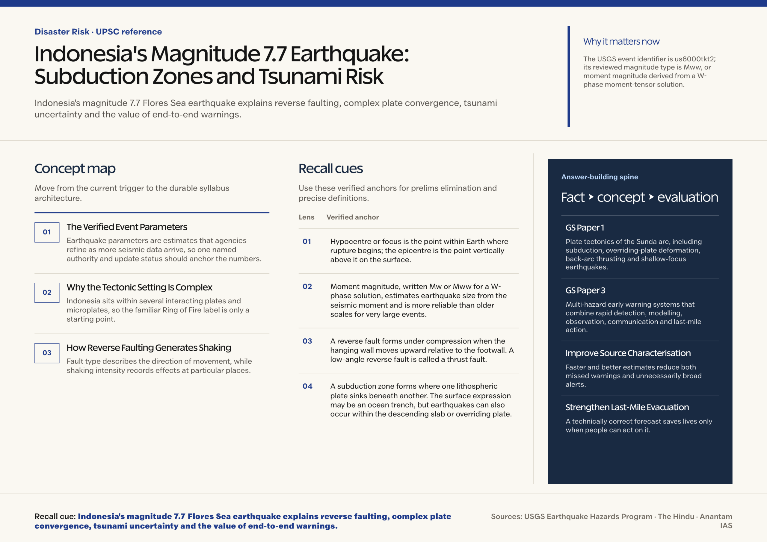
Background and Context
The Verified Event Parameters
Earthquake parameters are estimates that agencies refine as more seismic data arrive, so one named authority and update status should anchor the numbers.
- The reviewed USGS solution records Mww 7.7, a location 68 km north-northwest of Ende, Indonesia, and a hypocentral depth of 10 km.
- The event occurred in the Flores Sea off the northern coast of East Nusa Tenggara. This geographic placement is more precise than simply saying that it occurred on Indonesia’s Pacific Ring of Fire.
- Depth strongly affects shaking near the source. A shallow earthquake usually sends seismic energy through less overlying rock before it reaches the surface, though damage still depends on distance, site conditions and buildings.
- A map symbol marks the epicentre, but the rupture is not a point. USGS notes that a reverse-faulting earthquake of this size is typically associated with slip across a fault area roughly 90 km long and.
- Aftershocks are expected as the crust adjusts to the new stress distribution. Their timing and exact magnitude cannot be predicted, so already weakened structures require caution.
Why the Tectonic Setting Is Complex
Indonesia sits within several interacting plates and microplates, so the familiar Ring of Fire label is only a starting point.
- South of the Lesser Sunda Islands, oceanic lithosphere of the Australian plate converges with and descends beneath the Sunda plate along the Sunda Trench.
- USGS places the trench about 350 km south of this earthquake and gives the local relative plate motion as approximately 69 mm per year toward the north.
- Continued convergence does not vanish after subduction at the trench. Compression can be transferred into the overriding plate, producing folds and thrust faults behind the volcanic arc.
- North of Flores, the Flores back-arc thrust system accommodates part of this shortening. The earthquake’s shallow reverse-faulting mechanism is consistent with compressional deformation in the overriding Sunda plate.
- The reviewed USGS summary says the rupture was likely on a thrust fault within the overriding plate. Calling it a megathrust earthquake would erase the distinction between the plate-interface fault at the trench and faults inside.
How Reverse Faulting Generates Shaking
Fault type describes the direction of movement, while shaking intensity records effects at particular places.
- Compression pushes blocks of crust together. On a reverse fault, the block above the inclined fault surface moves up relative to the block below it.
- The focal mechanism is derived from seismic waves and shows two possible nodal planes. Additional evidence is needed to identify which plane was the actual fault surface.
- Magnitude measures the energy scale of the source and is one value for the event. Intensity varies from place to place with distance, rupture direction, soil, topography and building response.
- Soft sediment can amplify shaking, while liquefaction may occur where saturated loose sediment loses strength. Steep terrain can experience earthquake-triggered landslides.
- Disaster assessment should keep direct shaking, ground failure, tsunami and cascading failures as related but distinct hazard pathways.
When an Earthquake Produces a Tsunami
A large offshore earthquake is a reason for rapid assessment, but only certain ruptures efficiently displace the water column.
- The main seismic mechanism is rapid vertical displacement of the seabed across a broad area. Reverse and thrust faults are often capable of this, especially when rupture is shallow and beneath the sea.
- Magnitude helps estimate potential rupture size and slip, but tsunami generation also depends on depth, mechanism, fault orientation, location relative to the seabed and how much rupture reaches shallow layers.
- Submarine landslides can generate or amplify local tsunamis, sometimes adding uncertainty beyond the initial fault model.
- Bathymetry refracts and focuses waves. Bays, shelves, reefs, headlands and coastal topography can produce very different water levels at places separated by short distances.
- The USGS event record currently carries a tsunami flag of zero, while BMKG issued an initial local warning. These fields serve different systems and can reflect different mandates, data streams and update times; neither should be.
Way Forward
Improve Source Characterisation
- Integrate dense seismic networks, high-rate GNSS, ocean-bottom instruments and rapid finite-fault models to estimate rupture extent and seafloor displacement.
- Maintain redundant tide gauges and deep-ocean pressure sensors with transparent uptime monitoring and rapid data sharing.
- Design warning software to display parameter revisions and confidence, not only a single magnitude.
Conclusion
- Indonesia’s Mww 7.7 earthquake shows why tectonic precision matters.
- It also shows why warnings are provisional by design.
UPSC Practice Questions
Prelims MCQ 1
With reference to earthquake-generated tsunamis, consider the following statements:
- Every offshore earthquake of magnitude 7 or greater necessarily generates a destructive tsunami.
- Vertical displacement of the seabed over a broad area can transfer energy to the overlying water column.
- Tide gauges and deep-ocean pressure sensors can help confirm and update an initial tsunami forecast.
How many of the above statements are correct?
(a) Only one (b) Only two (c) All three (d) None
Answer: (b) Only two
Explanation:
Statements 2 and 3 are correct. Magnitude is important, but depth, fault mechanism, rupture geometry, seafloor displacement and local bathymetry also determine whether a damaging tsunami forms.
Prelims MCQ 2
Which one of the following best describes the tectonic interpretation of the August 2026 Mww 7.7 Flores Sea earthquake in the reviewed USGS summary?
(a) Normal faulting within the Australian plate at the Sunda Trench (b) Strike-slip faulting along the Mid-Atlantic Ridge (c) Shallow reverse faulting likely within the overriding Sunda plate (d) Volcanic collapse with no tectonic component
Answer: (c) Shallow reverse faulting likely within the overriding Sunda plate
Explanation:
USGS attributes the event to shallow reverse faulting and considers thrust faulting within the overriding Sunda plate the likely source. The Sunda Trench lies roughly 350 km south of the event.
UPSC Mains Questions
- A large offshore earthquake is necessary neither sufficient nor certain to generate a destructive tsunami. Explain the physical controls on tsunami generation and coastal impact. (15 marks, 250 words)
- Using the August 2026 Flores Sea earthquake as a case, explain how plate convergence can produce damaging earthquakes away from the main ocean trench. (15 marks, 250 words)
Sources: USGS Earthquake Hazards Program and The Hindu.
Frequently Asked Questions
What were the USGS parameters for the Indonesia earthquake?
The reviewed USGS record lists Mww 7.7, an epicentre 68 km north-northwest of Ende, Indonesia, and a depth of 10 km. The event began at 21:58:21 UTC on August 14, which was 03:28:21 IST on August 15.
Was the earthquake on the Sunda megathrust?
USGS does not describe it that way. Its event summary says the shallow reverse-faulting earthquake likely ruptured a thrust fault within the overriding Sunda plate. The Sunda Trench plate boundary lies approximately 350 km south of the earthquake.
Why can a reverse-fault earthquake cause a tsunami?
Reverse or thrust motion can lift or lower a large area of seabed and displace the water column above it. Tsunami size still depends on rupture depth, area, slip, orientation, water depth, bathymetry and coastal shape, so fault type alone.
Why might USGS and BMKG displays differ on tsunami status?
They serve different operational purposes and may use different data, geographic responsibilities, flags and update times. A local warning agency may issue precautionary action while source parameters are incomplete. Users should follow the latest timestamped bulletin from the responsible national.
What should coastal residents do after strong earthquake shaking?
Where a local tsunami is possible, people should move immediately to designated safe ground after strong or prolonged shaking and follow official evacuation instructions. They should remain away from the coast until the competent authority issues an all-clear because later.