NCR Regional Plan 2041: Why the Natural Conservation Zone Was Retained
Why in News?
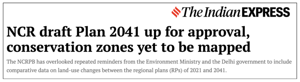
The National Capital Region Planning Board (NCRPB) has moved to retain the Natural Conservation Zone (NCZ) in its long-term blueprint, the Regional Plan 2041 — the framework that will guide land-use and development across the National Capital Region up to 2041. The decision, taken at a recent Board meeting, closes a contested push to replace the NCZ with a weaker category.
The existing NCZ provisions of the Regional Plan 2021 — which cap construction at just 0.5% of the protected area and bind states to all environmental laws and court directions — will carry over into the 2041 plan, keeping the Aravalli range, forests, rivers and water bodies under protection.
- NCRPB moved to keep the Natural Conservation Zone in the Regional Plan 2041.
- The rejected draft proposal would have renamed NCZ as a less stringent Natural Zone, dropping mandatory conservation duties on states.
- NCZ permits construction on only 0.5% of the total protected area and bars most non-forest activity.
- The zone covers the Aravalli hills and ridge, forests, rivers, lakes, water bodies and groundwater-recharge areas across the NCR.
- The NCR spans 55,083 sq km across 24 districts of Haryana, Uttar Pradesh and Rajasthan, plus all of Delhi.
The development matters in the context of:
- It matters because NCR forest cover is roughly 6.2% against a national average near 21% — the Aravalli green is the region’s main ecological buffer.
- It matters because urban-planning pressure to open land for housing and industry repeatedly tests the strength of ecological zoning.
UPSC Relevance
Prelims Relevance
- National Capital Region Planning Board (NCRPB) Act, 1985 — administrative ministry: Housing and Urban Affairs
- Natural Conservation Zone (NCZ) — origin in Regional Plan 2021, retained in Regional Plan 2041
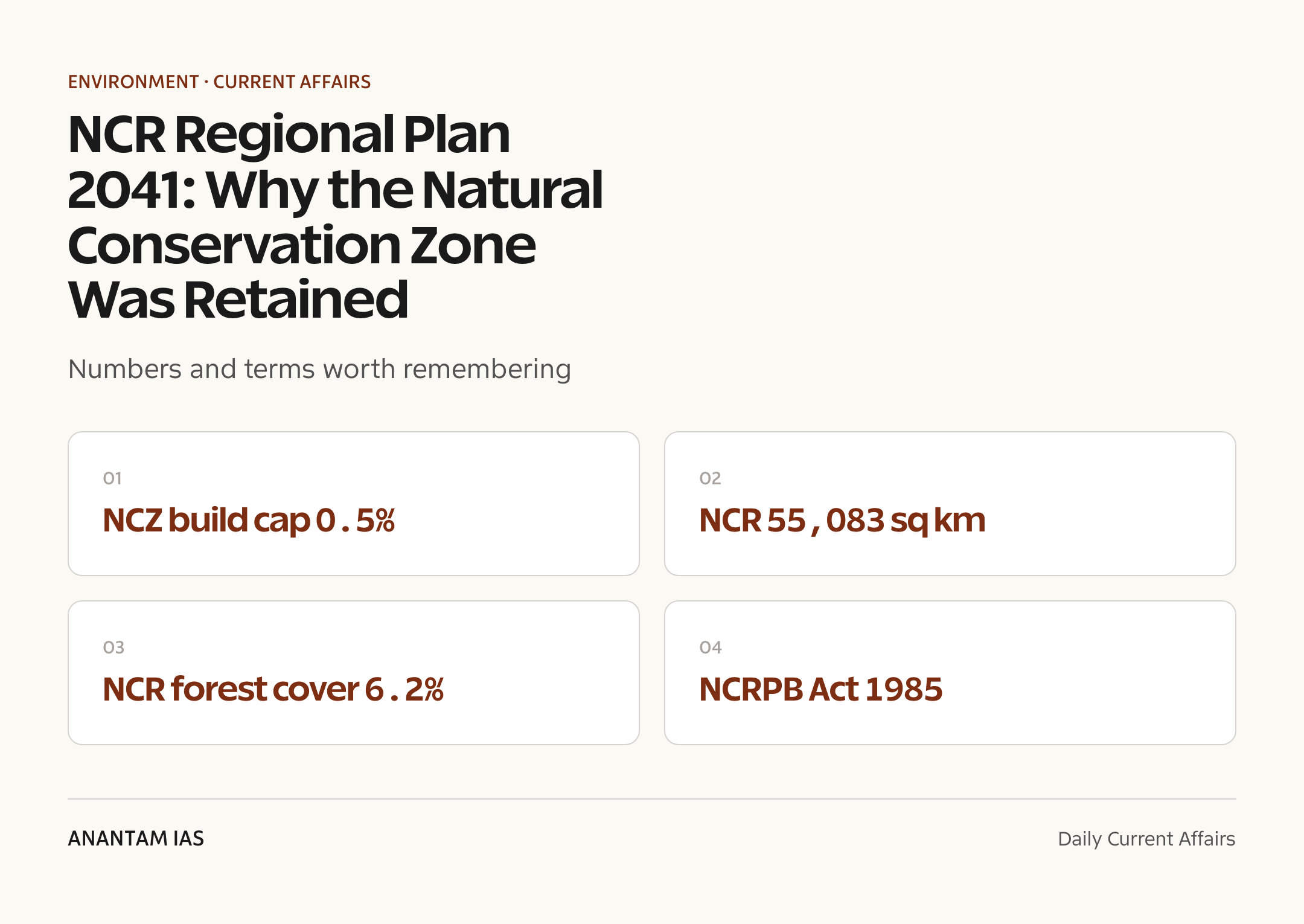
- 0.5% construction cap inside the NCZ
- NCR composition: Delhi + districts of Haryana, Uttar Pradesh, Rajasthan (~55,083 sq km)
- Aravalli range — the oldest fold mountains in India, a barrier against the Thar Desert
- M.C. Mehta v. Union of India and T.N. Godavarman Thirumalpad v. Union of India (forest cases)
- Forest (Conservation) Act, 1980 — diversion of forest land needs central approval
- Transferable Development Rights (TDR) as a conservation-financing tool
- Delhi Ridge — northern extension of the Aravalli in the capital
Mains Relevance
GS Paper 3
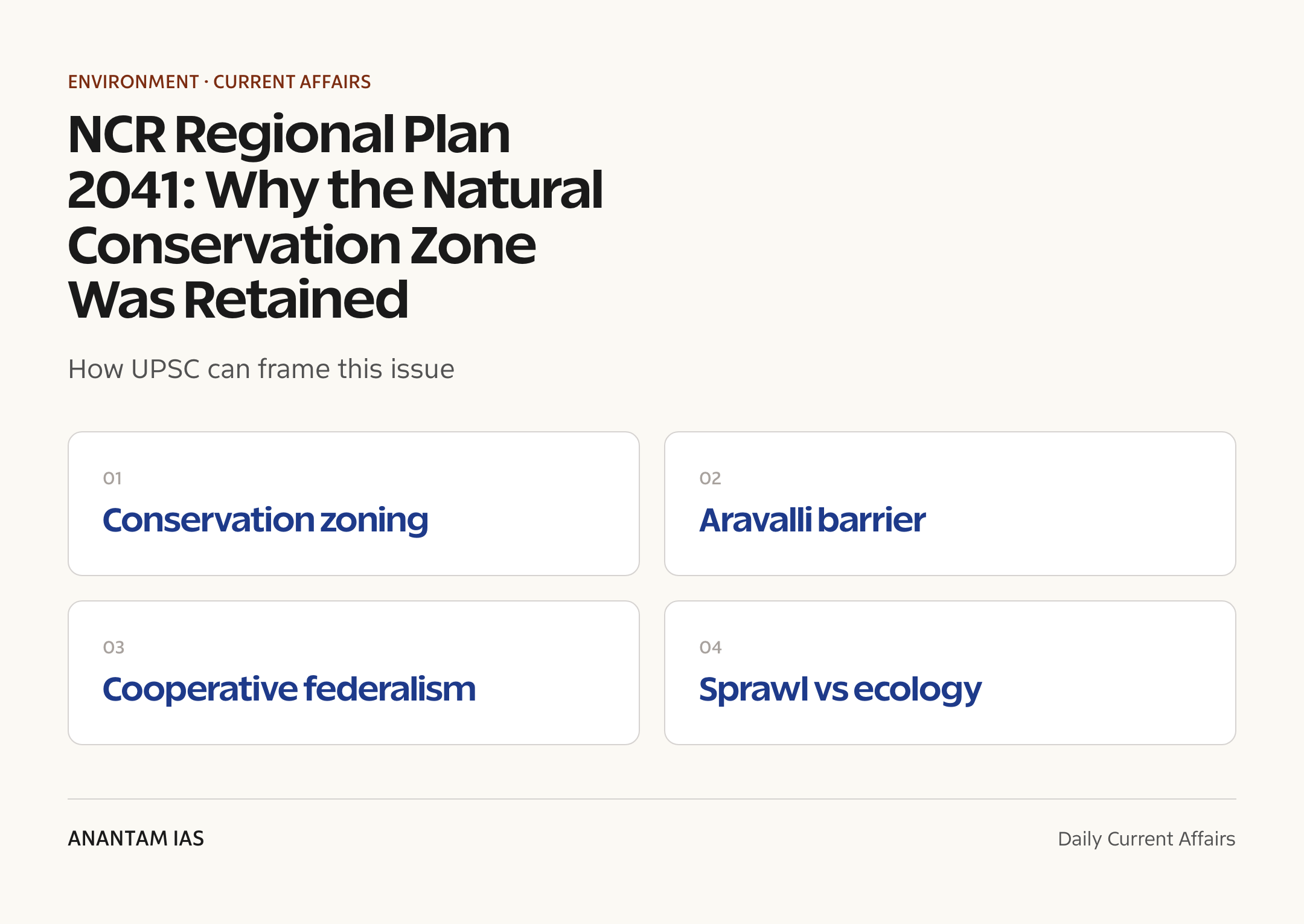
- Conservation vs urban expansion in an ecologically sensitive region — how zoning instruments like the NCZ balance development and ecology
- Role of the Aravalli range in groundwater recharge, air quality and arresting desertification
GS Paper 2
- Cooperative federalism in regional planning — a central board coordinating four states through a statutory plan
- Citizen movements and judicial directions shaping environmental governance outcomes
Essay
- Development and ecology need not be adversaries — but only if planning treats nature as infrastructure.
- The cost of a city is paid by the land around it.
Background and Context
The NCRPB and the Regional Plan framework
The Board is a statutory body that plans for a region straddling four jurisdictions.
- The NCRPB was set up under the National Capital Region Planning Board Act, 1985, under the Ministry of Housing and Urban Affairs.
- It coordinates harmonised land-use, infrastructure and development across Delhi and the contiguous districts of Haryana, Uttar Pradesh and Rajasthan.
- The Union Minister in charge chairs the Board; the three states’ Chief Ministers and central nominees are members — a model of cooperative federalism.
- Its core instrument is a Regional Plan — successive blueprints (RP-2001, RP-2021, now RP-2041) that bind states’ sub-regional and master plans.
- The plan classifies land into use zones; the Regional Plan 2041 is the framework now under finalisation.
What the Natural Conservation Zone protects
The NCZ is the plan’s strictest ecological category, and it is wide in scope.
- Introduced in the Regional Plan 2021, the NCZ demarcates environmentally sensitive land for protection.
- It covers the Aravalli ridge and hills, forest areas, rivers and tributaries, major lakes, water bodies, sanctuaries and groundwater-recharge zones.
- Inside the NCZ, construction is capped at only 0.5% of the area, and non-forest activity is tightly regulated.
- States must follow all central and state environmental laws, plus binding court directions within the zone.
- The protection applies irrespective of land records — the ecological character, not the title, decides the rule.
The dilution attempt that was rolled back
A draft proposal sought to soften the language and, with it, the legal force.
- An earlier draft of the Regional Plan 2041 proposed renaming the NCZ as a plain Natural Zone.
- Critics argued that a Natural Zone carries no mandatory conservation duty, so states would no longer be bound to enforce the strict regime.
- Environmental groups and residents warned this would weaken protection for the Aravalli and other sensitive landscapes.
- The retained framework instead keeps the RP-2021 safeguards and explores tools like Transferable Development Rights (TDR) to reward conservation.
- The Hindu reported the Board moved to retain the NCZ at its meeting, ending a years-long campaign.
Why the Aravalli matters ecologically
The range is a living ecological infrastructure for the whole capital region.
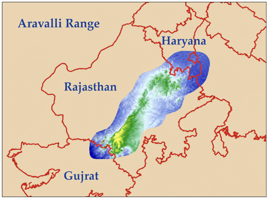
- The Aravalli are among the world’s oldest fold mountains, running across Gujarat, Rajasthan, Haryana and Delhi.
- They act as a natural barrier against the Thar Desert, slowing the spread of arid dust toward Delhi-NCR.
- Their forests aid groundwater recharge, stabilise microclimates, and help regulate rainfall and humidity.
- Breaches in the range — where hills have been mined away — let desert dust drift in, worsening Delhi’s air pollution.
- NCR forest cover is only about 6.2% against a national average near 21%, so every protected hill counts.
The legal and judicial backbone
Decades of litigation and statute sit behind the NCZ regime.
- The Forest (Conservation) Act, 1980, requires central clearance before forest land is diverted to non-forest use.
- In M.C. Mehta v. Union of India, the Supreme Court repeatedly restrained mining and quarrying that damaged the Aravalli.
- The continuing T.N. Godavarman case broadened the meaning of ‘forest’ and tightened oversight of forest land nationwide.
- A Court order of 2002 halted mining in stretches of the Aravalli; later orders kept the brakes on fresh leases.
- Such directions are exactly the ‘judicial directives’ the NCZ obliges states to honour — making the zoning enforceable, not advisory.
Urban sprawl versus ecology — the core tension
The NCR is among India’s fastest-urbanising belts, and land is the prize.
- Cities like Gurugram, Faridabad, Noida and Ghaziabad press against the green edge for housing, roads and industry.
- Real estate value makes conservation land a constant target for re-zoning and exemptions.
- Diluting a zone’s name or norms can quietly unlock large tracts without visibly removing protection.
- Conservation-finance tools such as TDR aim to make landowners gain from protecting, not building on, sensitive land.
- The retention decision signals that ecological zoning can hold even under intense development pressure — if backed by law and public scrutiny.
Way Forward
Lock in the protection legally
- Notify the final Regional Plan 2041 with the NCZ language intact and unambiguous.
- Harmonise state master plans so no sub-region quietly re-zones NCZ land.
Make conservation pay
- Operationalise Transferable Development Rights so owners are compensated for keeping land green.
- Channel funds into Aravalli restoration, plantation and water-recharge works.
Monitor and enforce
- Use satellite mapping to track encroachment and illegal construction inside the NCZ.
- Align NCR zoning with the Supreme Court’s evolving definition and protection of the Aravalli.
Conclusion
Retaining the Natural Conservation Zone in the Regional Plan 2041 is a quiet but consequential win for ecological governance. It keeps the strict 0.5% construction cap and the binding duty on states intact, protecting the Aravalli, the region’s forests and its water bodies from being re-zoned out of existence.
The deeper lesson is that the strength of a conservation rule lies as much in its name and legal force as in its map. Sustained citizen pressure and standing court directions turned a planning footnote into a durable safeguard — a reminder that in the contest between urban sprawl and ecology, planning frameworks decide the outcome.
UPSC Practice Questions
Prelims MCQ 1
With reference to the Natural Conservation Zone (NCZ) in the National Capital Region, consider the following statements:
- It was introduced through the Regional Plan 2021 and covers the Aravalli hills, forests and water bodies.
- It permits construction on up to half (50%) of the zone’s total area.
- Within the NCZ, states are bound by central and state environmental laws and applicable court directions.
How many of the above statements are correct?
(a) Only one (b) Only two (c) All three (d) None
Answer: (b) Only two
Explanation:
Statements 1 and 3 are correct. Statement 2 is wrong — the NCZ caps construction at just 0.5% of the area, not 50%.
Prelims MCQ 2
The National Capital Region Planning Board (NCRPB) functions under which Union Ministry, and the Board is chaired by which authority?
(a) Ministry of Environment, Forest and Climate Change, chaired by the Cabinet Secretary
(b) Ministry of Housing and Urban Affairs, chaired by the Union Minister in charge
(c) Ministry of Home Affairs, chaired by the Lieutenant Governor of Delhi
(d) NITI Aayog; chaired by the Prime Minister
Answer: (b) Ministry of Housing and Urban Affairs, chaired by the Union Minister in charge
Explanation:
The NCRPB, set up under the NCRPB Act, 1985, is under the Ministry of Housing and Urban Affairs; the Union Minister in charge chairs the Board, with the three states’ Chief Ministers as members.
UPSC Mains Questions
- The Natural Conservation Zone in the NCR illustrates how land-use classification can become a frontline tool of environmental protection. Examine the ecological role of the Aravalli range and discuss how planning instruments can balance urban expansion with conservation. (250 words)
- Regional planning across multiple states tests India’s cooperative federalism. With reference to the National Capital Region Planning Board, analyse the institutional and legal mechanisms that enable coordinated environmental governance, and the challenges they face. (250 words)
Sources: National Capital Region Planning Board, Ministry of Housing and Urban Affairs and The Hindu.
Frequently Asked Questions
What is the Natural Conservation Zone in the NCR?
The Natural Conservation Zone (NCZ) is the strictest ecological land-use category in the NCR Regional Plan. Introduced in the Regional Plan 2021, it covers the Aravalli hills, forests, rivers, lakes, water bodies and groundwater-recharge areas. Construction is capped at only 0.5% of the zone, and states must follow all environmental laws and court directions inside it.
What changed in the Regional Plan 2041?
An earlier draft of the Regional Plan 2041 proposed renaming the Natural Conservation Zone as a weaker ‘Natural Zone’ with no mandatory conservation duty. After objections, the NCR Planning Board moved at its June 2026 meeting to retain the NCZ, carrying the Regional Plan 2021 safeguards forward into the 2041 blueprint.
Why is the Aravalli range ecologically important?
The Aravalli are among the world’s oldest fold mountains and act as a natural barrier slowing the Thar Desert’s spread toward Delhi-NCR. Their forests recharge groundwater, stabilise the local climate and help regulate rainfall. Breaches in the range let desert dust drift in, worsening the capital’s air pollution.
What is the NCRPB and which states does it cover?
The National Capital Region Planning Board, set up under the NCRPB Act, 1985, plans land-use and infrastructure for the NCR under the Ministry of Housing and Urban Affairs. The NCR covers Delhi plus contiguous districts of Haryana, Uttar Pradesh and Rajasthan, spanning about 55,083 sq km.
How do Supreme Court orders affect Aravalli protection?
In the M.C. Mehta and T.N. Godavarman cases, the Supreme Court restrained mining that damaged the Aravalli and broadened the meaning of ‘forest’. A 2002 order halted mining in parts of the range. These judicial directions are binding inside the NCZ, which obliges states to honour all applicable court orders.
Why does retaining the NCZ matter for development?
NCR forest cover is only about 6.2% against a national average near 21%, so the Aravalli green is the region’s main ecological buffer. Retaining the NCZ keeps the strict 0.5% construction cap intact, preventing fast-urbanising cities like Gurugram and Faridabad from re-zoning sensitive land out of protection.