Western Ghats landslides: the case for landslide early-warning systems
Why in News?
A fresh spell of monsoon landslides in the Western Ghats has once again pushed the question of predictive early-warning systems to the centre of India’s disaster-management debate. The Ghats – a fragile, steep, high-rainfall belt running down India’s western coast – are among the country’s most landslide-prone terrains, and each monsoon renews the demand for forecasts that can warn communities before a slope fails rather than only counting the dead afterwards.
The trigger is the recurring memory of the 30 July 2024 Wayanad disaster in Kerala, when landslides at Mundakkai and Chooralmala killed more than 200 people – among the deadliest landslide events in India’s history – and exposed how little lead time residents had before the hillsides collapsed in the early hours of the morning.
The Indian Express, in an Explained piece, revisited why India still lacks a dense, last-mile Landslide Early Warning System (LEWS) even as the Geological Survey of India (GSI) scales up its National Landslide Forecasting Centre, framing the recurring Ghat slides as both a scientific-forecasting gap and a slope-governance failure.
- The 2024 Wayanad landslides (Meppadi panchayat, Vythiri taluk) struck around 02:00-04:00 IST after intense overnight rain, sweeping away Mundakkai and Chooralmala villages.
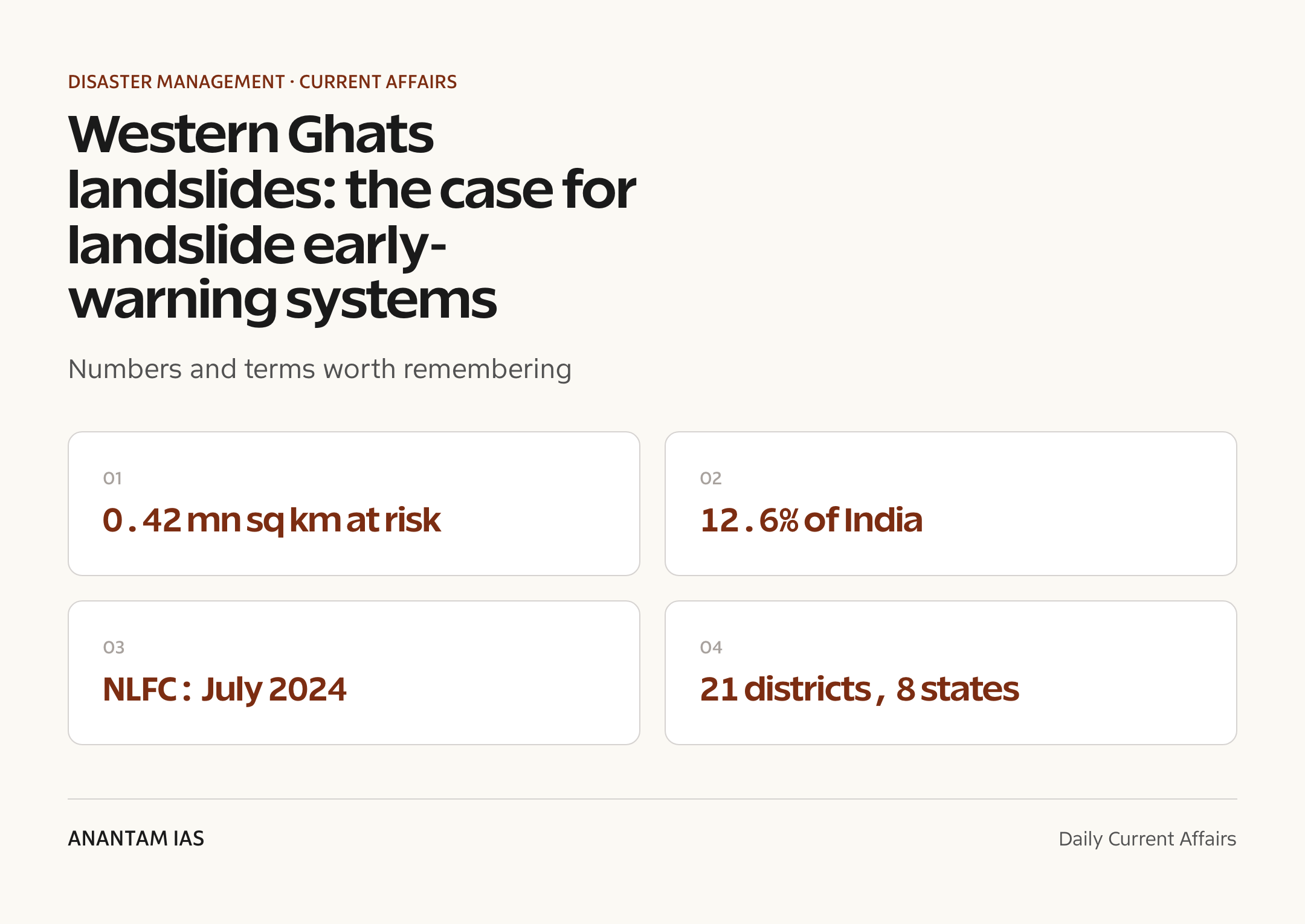
- India’s landslide-prone area is about 0.42 million sq km – roughly 12.6% of the landmass (excluding snow-covered zones), per the Geological Survey of India (GSI).
- The National Landslide Forecasting Centre (NLFC) was launched in July 2024 at GSI’s Kolkata campus, with the Bhusanket web portal and Bhooskhalan mobile app.
- By the 2025 monsoon, GSI was issuing daily landslide forecast bulletins for around 21 districts across 8 states, including Wayanad and Idukki in Kerala.
The development matters in the context of:
- Landslides are a hydro-geological hazard: rainfall is the dominant trigger in the Ghats, making rainfall-threshold forecasting technically feasible.
- The debate links two syllabus strands – GS1 geography (slope, monsoon, physiography) and GS3 disaster management (mitigation, early warning, institutions).

UPSC Relevance
Prelims Relevance
- Geological Survey of India (GSI) – nodal agency for landslide studies, under the Ministry of Mines.
- National Landslide Forecasting Centre (NLFC), Kolkata (2024); Bhusanket portal and Bhooskhalan app.
- LANDSLIP project (2016-2022) – India-UK-Italy R&D on regional landslide early warning; test areas Darjeeling and the Nilgiris.
- Rainfall thresholds – intensity-duration relationships that trigger slope failure.
- Disaster Management Act, 2005; NDMA and its landslide guidelines (2009) and National Landslide Risk Management Strategy (2019).
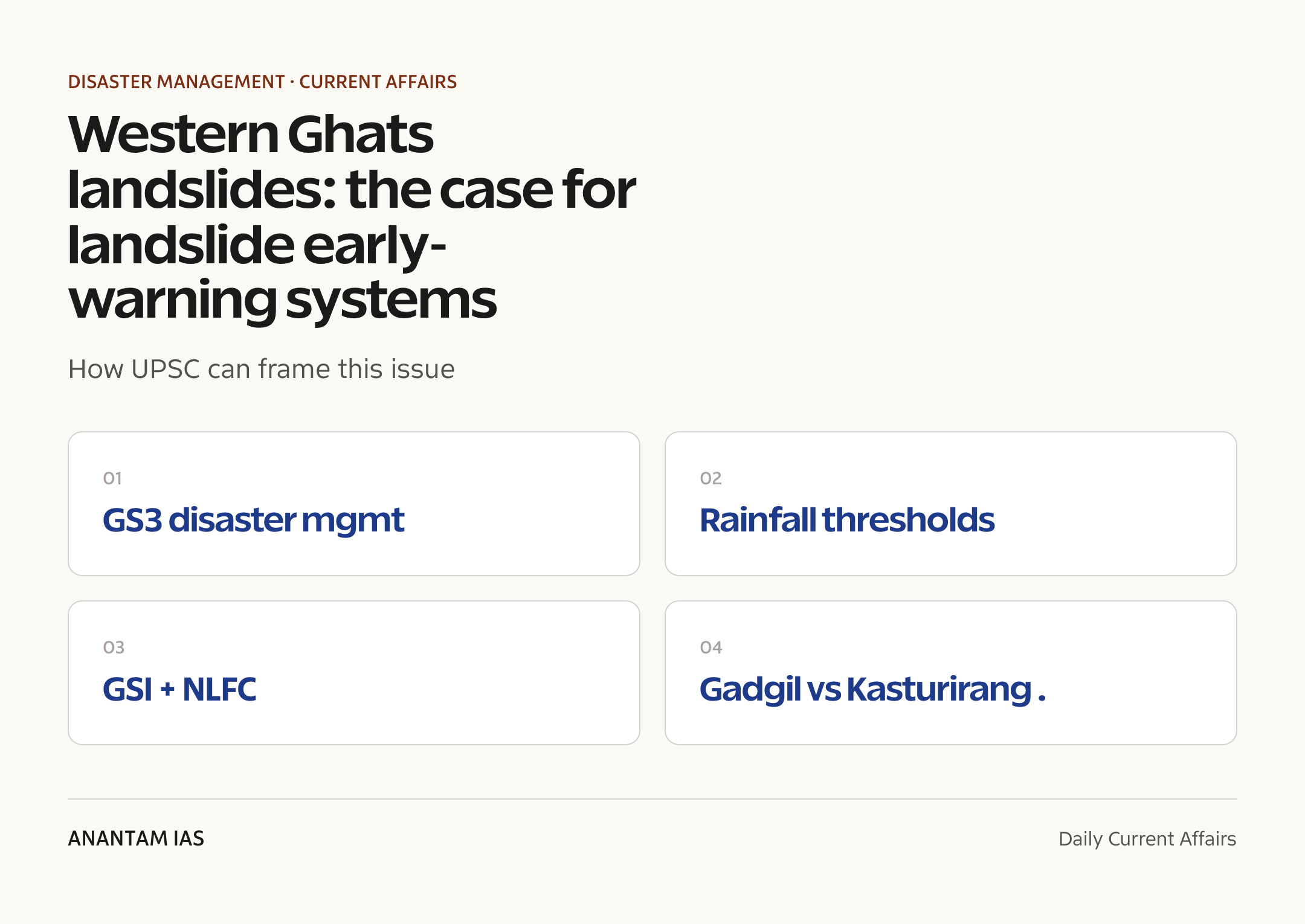
- Gadgil (WGEEP) report – entire ~1,29,037 sq km of the Western Ghats as an Ecologically Sensitive Area.
- Kasturirangan (HLWG) report – about 37% of the Ghats as Ecologically Sensitive Area.
- Partner agencies for forecasting: IMD, NCMRWF, ISRO and state disaster-management authorities.
- Wayanad, Nilgiris, Idukki, Darjeeling, Kalimpong – recurring high-risk landslide districts.
Mains Relevance
GS Paper 3
- Landslide early-warning systems as a non-structural mitigation tool – design, limits and last-mile dissemination.
- Institutional architecture: GSI, NDMA, IMD and state agencies in disaster risk reduction.
GS Paper 1
- Physiography of the Western Ghats and the monsoon-slope interaction that drives landslides.
GS Paper 2
- Ecologically Sensitive Area governance – Gadgil vs Kasturirangan and Centre-State-community friction.
Essay
- Development versus ecology in India’s fragile hill regions.
- Living with disasters: prediction, preparedness and the limits of technology.
Background and Context
Why the Western Ghats slide
The Ghats combine every ingredient that makes slopes fail during the monsoon, which is why forecasting here is technically feasible yet the hazard remains high.
- Steep gradients and thick, weathered soil overburden on hard rock – water saturates the loose top layer and shears it off along the rock interface.
- Extreme, concentrated rainfall: cloudbursts and multi-day spells raise pore-water pressure until the slope loses cohesion and gives way.
- Antecedent rainfall matters too – soil already soaked from earlier spells fails faster when fresh intense rain arrives, a pattern seen repeatedly in Kerala.
- Human pressure amplifies risk – deforestation, quarrying, road-cutting, plantation expansion and unregulated construction on unstable hillsides remove the natural anchoring of slopes.
- The Ghats are a recognised biodiversity hotspot and a UNESCO World Heritage site, so land-use choices carry ecological as well as safety stakes, and the two agendas often collide.
The 2024 Wayanad wake-up call
The disaster that reframed the early-warning debate.
- On 30 July 2024, landslides in Mundakkai-Chooralmala (Meppadi, Wayanad) followed intense overnight rain and killed more than 200 people.
- A first slide near the Punnappuzha river swept two villages; a second diverted a stream and triggered flash floods downstream.
- It ranks among India’s deadliest landslide events, with hundreds injured and many reported missing.
- Investigators flagged heavy antecedent rainfall, weak soil and slope disturbance as compounding causes – the classic profile a warning system aims to anticipate.
How a landslide early-warning system works
The core idea is a rainfall-threshold model, not a crystal ball – it estimates when a slope becomes dangerous, not exactly which one will fail.
- A Landslide Early Warning System (LEWS) links terrain-specific rainfall thresholds – the intensity-and-duration of rain a slope can absorb before failing – to real-time and forecast rainfall.
- Inputs combine rain-gauge and radar data, weather-prediction models, susceptibility maps and past landslide inventories built up over years of field survey.
- When forecast rain crosses the threshold for an area, a colour-coded bulletin (green-yellow-orange-red) is issued for districts, not individual hillsides.
- The bulletin is meant to prompt graded action – readiness, pre-positioning of relief and, at the red stage, evacuation of the most exposed settlements.
- It is a regional, probabilistic forecast – it flags heightened risk over an area and a window, not the exact slope, hour or house, which is both its strength and its practical limit.
India's forecasting architecture
GSI is the nodal agency, building from pilots toward national coverage.
- The LANDSLIP project (2016-2022), an India-UK-Italy effort involving GSI, the British Geological Survey and King’s College London, built a prototype LEWS for Darjeeling and the Nilgiris.
- In July 2024 GSI operationalised the National Landslide Forecasting Centre (NLFC) in Kolkata, with the Bhusanket web portal and Bhooskhalan app for dissemination.
- Forecasting runs in operational mode for Darjeeling, Kalimpong and the Nilgiris and in experimental mode for districts in Kerala, Sikkim, Uttarakhand and Himachal Pradesh.
- By the 2025 monsoon, bulletins covered roughly 21 districts across 8 states; GSI aims to extend the system to all landslide-prone states by 2030.
- Forecasting draws on IMD rainfall inputs, NCMRWF weather models and ISRO satellite data.
The governance backdrop: Gadgil vs Kasturirangan
Warning systems sit atop an unresolved land-use fight over the Ghats.
- The Gadgil report (Western Ghats Ecology Expert Panel, 2011) proposed treating the entire ~1,29,037 sq km as an Ecologically Sensitive Area with graded restrictions.
- The Kasturirangan report (High-Level Working Group, 2013) narrowed protection to about 37% of the Ghats, excluding inhabited and plantation land.
- States and farming communities resisted both; a final ESA notification has stalled for over a decade amid Centre-State friction.
- The core disaster lesson – curb construction, mining and slope disturbance in fragile zones – remains only partly enforced.
Why forecasting alone is not enough
The hardest part is the last mile, not the science.
- Warnings are district-scale; converting them into a house-by-house evacuation call needs dense local rain-gauges and trained local responders.
- Sparse rain-gauge networks in remote Ghat terrain weaken threshold accuracy for small, fast-moving slides.
- Night-time events (as in Wayanad) shrink the response window – dissemination and evacuation must be near-instant.
- Frequent alerts risk warning fatigue; too few risk complacency – calibrating thresholds is a constant trade-off.
- Structural measures – slope stabilisation, drainage, retaining walls, hazard-zonation-based land-use control – must complement the forecast.
Way Forward
Densify the observation network
- Expand automatic rain gauges, soil-moisture sensors and radar coverage across the Ghats so thresholds hold for small catchments.
- Fast-track completion of 1:10,000 landslide hazard zonation maps for high-risk districts.
Strengthen the last mile
- Build community-level warning – sirens, panchayat responders, mock drills – so a bulletin becomes an evacuation.
- Integrate NLFC bulletins directly into state and district disaster-management response chains.
Govern the slope
- Enforce land-use and construction curbs in identified fragile zones, resolving the pending Western Ghats ESA question.
- Fund slope stabilisation and drainage under the National Landslide Risk Management Strategy.
Conclusion
The Western Ghats landslides are a reminder that India’s most fragile terrains are also its most densely lived-in. A rainfall-threshold early-warning system, anchored by GSI’s NLFC and its Bhusanket portal and Bhooskhalan app, is a genuine advance over a purely reactive relief model – but a forecast only saves lives if it reaches a family in time to move.
The Wayanad tragedy showed that the weakest link is rarely the science and almost always the last mile: sparse rain-gauges, night-time events and district-scale bulletins that must somehow trigger house-by-house evacuation. Closing that gap needs denser local sensors, trained panchayat responders and drilled communities as much as better models.
Prediction, preparedness and prudent land-use have to work together. Technology can flag the risk window; only dense local networks, community drills and enforced slope governance – including a resolution of the long-stalled Western Ghats Ecologically Sensitive Area question – can close the gap between a warning and real safety.
UPSC Practice Questions
Prelims MCQ 1
With reference to landslide early-warning in India, consider the following statements:
- The Geological Survey of India is the nodal agency for landslide studies.
- The National Landslide Forecasting Centre issues district-level rainfall-based landslide bulletins.
- Landslide early-warning systems predict the exact hillside and hour of failure.
How many of the above statements are correct?
(a) Only one (b) Only two (c) All three (d) None
Answer: (b) Only two
Explanation:
GSI is the nodal agency and the NLFC issues regional, district-scale bulletins – statements 1 and 2 are correct. Statement 3 is wrong: LEWS gives probabilistic, area-and-window forecasts, not the exact slope or hour.
Prelims MCQ 2
The Western Ghats Ecology Expert Panel, which recommended treating the whole of the Western Ghats as an Ecologically Sensitive Area, was chaired by:
(a) K. Kasturirangan (b) Madhav Gadgil (c) M.S. Swaminathan (d) R.K. Pachauri
Answer: (b) Madhav Gadgil
Explanation:
The 2011 WGEEP (Gadgil panel) proposed the entire ~1,29,037 sq km of the Ghats as an ESA. The later Kasturirangan (HLWG, 2013) report narrowed this to about 37%.
UPSC Mains Questions
- Landslide early-warning systems can flag risk but rarely reach the last mile in time. In the light of the Western Ghats landslides, examine the technical and institutional challenges in operationalising an effective landslide early-warning system in India. (250 words)
- “The Western Ghats crisis is as much a governance failure as a geological one.” Discuss with reference to the Gadgil and Kasturirangan reports and the unresolved Ecologically Sensitive Area question. (250 words)
Sources: The Indian Express (Explained) and PIB, Ministry of Mines / Geological Survey of India.
Frequently Asked Questions
What triggered the renewed early-warning debate?
Fresh monsoon landslides in the Western Ghats, coming after the catastrophic 30 July 2024 Wayanad disaster, revived demands for predictive systems. Rainfall is the dominant trigger in the Ghats, which makes threshold-based forecasting feasible – and makes the absence of dense, last-mile warning networks a recurring and costly gap in India’s disaster preparedness.
What is a landslide early-warning system?
A Landslide Early Warning System (LEWS) links terrain-specific rainfall thresholds – the rain intensity and duration a slope can absorb before failing – to real-time and forecast rainfall. When forecast rain crosses the threshold, a colour-coded bulletin is issued for a district. It flags heightened risk over an area and time window, not an exact hillside or hour.
What is the National Landslide Forecasting Centre?
The NLFC, launched in July 2024 at the Geological Survey of India’s Kolkata campus, issues daily landslide forecast bulletins. It disseminates them through the Bhusanket web portal and the Bhooskhalan mobile app, and draws on IMD rainfall data, NCMRWF weather models and ISRO satellite inputs to forecast risk across India’s landslide-prone districts.
Where does GSI issue landslide forecasts?
GSI runs operational forecasts for Darjeeling, Kalimpong and the Nilgiris, and experimental bulletins for districts in Kerala, Sikkim, Uttarakhand and Himachal Pradesh. By the 2025 monsoon, coverage reached about 21 districts across 8 states, including Wayanad and Idukki. GSI aims to extend the system to all landslide-prone states by 2030.
How do the Gadgil and Kasturirangan reports differ?
The Gadgil report (2011) proposed treating the entire Western Ghats – about 1,29,037 sq km – as an Ecologically Sensitive Area with graded restrictions. The Kasturirangan report (2013) narrowed this to roughly 37%, excluding inhabited and plantation land. States and farmers resisted both, and a final ESA notification has stalled for over a decade.
Why is forecasting alone not enough?
Bulletins are district-scale, but evacuation decisions are house-by-house. Sparse rain-gauge networks weaken accuracy for small, fast slides, and night-time events shrink response time. Forecasts must be paired with dense local sensors, community-level warning and drills, plus structural measures like slope stabilisation and enforced land-use control in fragile zones.