India-Myanmar border talks: security review, intelligence sharing and territorial assurance
Why in News?
India and Myanmar concluded the 23rd National Level Meeting in New Delhi on July 7–8, 2026, with the Ministry of Home Affairs (MHA) announcing that Myanmar has assured India its territory will not be permitted to be used against India’s security interests. The Hindu and the Indian Express reported the outcome on July 9.
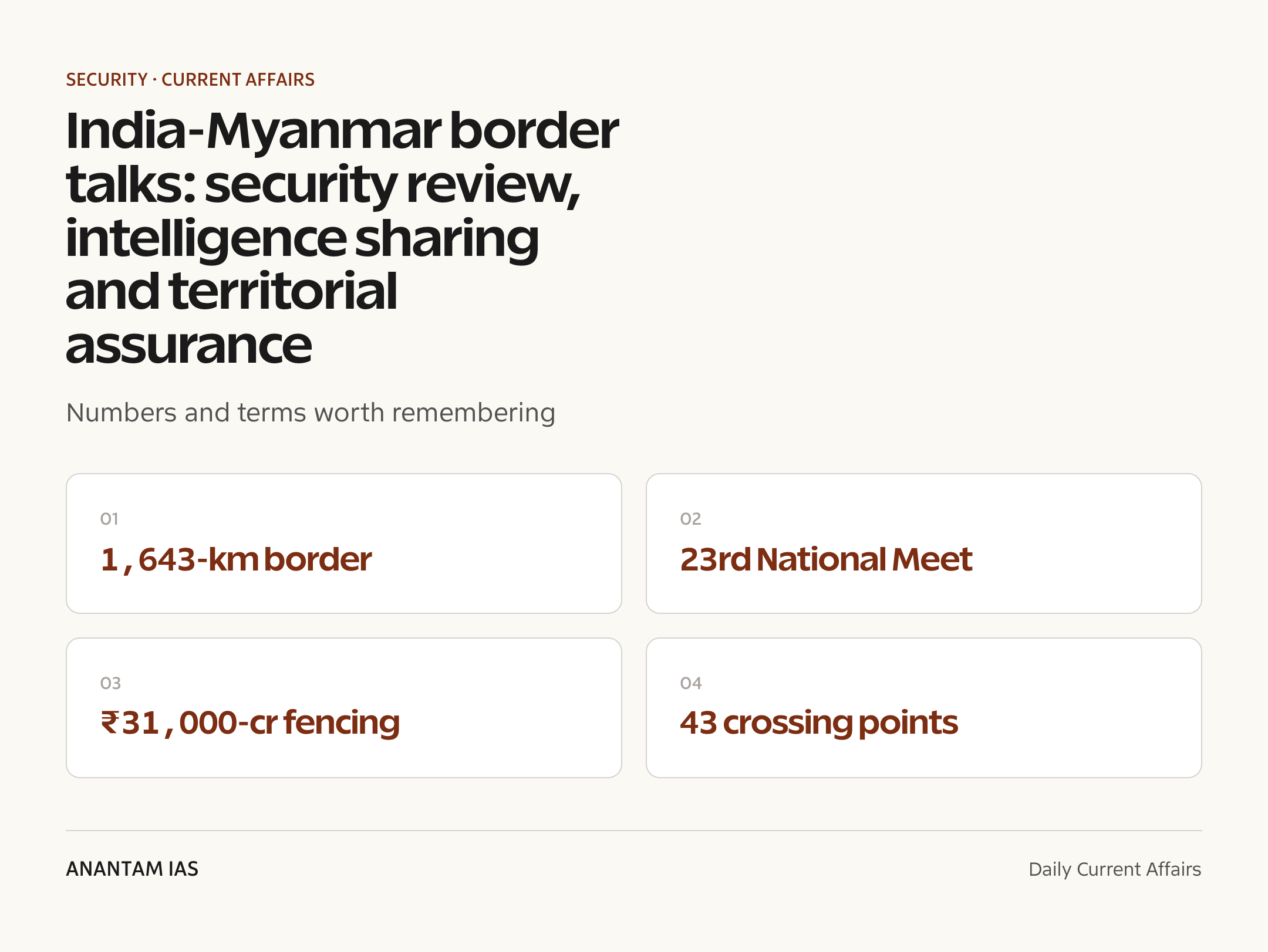
The two sides reviewed the security situation along the 1,643-km India-Myanmar border, agreed to enhance intelligence sharing and operational coordination against transnational crimes, and reaffirmed commitment to completing the Kaladan Multi-Modal Transit Transport Project and the India-Myanmar-Thailand Trilateral Highway.
- The Indian delegation was led by Govind Mohan, Union Home Secretary; the Myanmar side by Major General Min Thu, Deputy Minister of Home Affairs.
- Both sides underscored preventing the misuse of sovereign territory for activities inimical to each other’s security interests — a direct reference to Northeast insurgent camps operating from Myanmar soil.
- Talks covered terrorism, insurgency, narcotics trafficking, arms smuggling, human trafficking, wildlife trafficking, cybercrime and other organised crime.
- The two countries agreed on capacity-building initiatives, regular exchanges and training programmes through existing bilateral mechanisms.
- India underscored Myanmar’s place in its Neighbourhood First, Act East and MAHASAGAR (Mutual and Holistic Advancement for Security and Growth Across Regions) policies.
The development matters in the context of:
- The assurance comes amid Myanmar’s continuing civil war, in which large stretches of the border regions adjoining India are controlled by ethnic armed organisations and resistance forces, not the junta — making any territorial guarantee hard to enforce on the ground.
- The meeting sits at the centre of India’s live policy debates on scrapping the Free Movement Regime (FMR), fencing the 1,643-km border at about ₹31,000 crore, and insulating the Northeast from spillover instability.
- For India, engagement with Naypyidaw balances security imperatives against democratic concerns — Myanmar is India’s only land bridge to ASEAN.
UPSC Relevance
Prelims Relevance
- 23rd National Level Meeting — home-secretary-level India-Myanmar security dialogue; 2026 edition held in New Delhi, July 7–8.
- India-Myanmar border: 1,643 km across Arunachal Pradesh (520 km), Nagaland (215 km), Manipur (398 km) and Mizoram (510 km).
- Assam Rifles guards the India-Myanmar border — administrative control with MHA, operational control with the Indian Army.
- Free Movement Regime (FMR): visa-free movement up to 16 km either side for border residents, formalised in 2018 under Act East; MHA announced its scrapping in February 2024.
- New border-pass system (December 2024): movement limited to 10 km, regulated through 43 designated crossing points manned by Assam Rifles.
- Kaladan Multi-Modal Transit Transport Project: Kolkata–Sittwe Port (sea) → Paletwa (Kaladan river) → Zorinpui, Mizoram (road).
- India-Myanmar-Thailand Trilateral Highway: Moreh (Manipur) to Mae Sot (Thailand) via Myanmar.
- MAHASAGAR — Mutual and Holistic Advancement for Security and Growth Across Regions; India’s expanded maritime-neighbourhood vision building on SAGAR.
- Border fencing: Cabinet Committee on Security gave in-principle approval (September 2024) for fencing and border roads over about 10 years at roughly ₹31,000 crore.
Mains Relevance
GS Paper 3
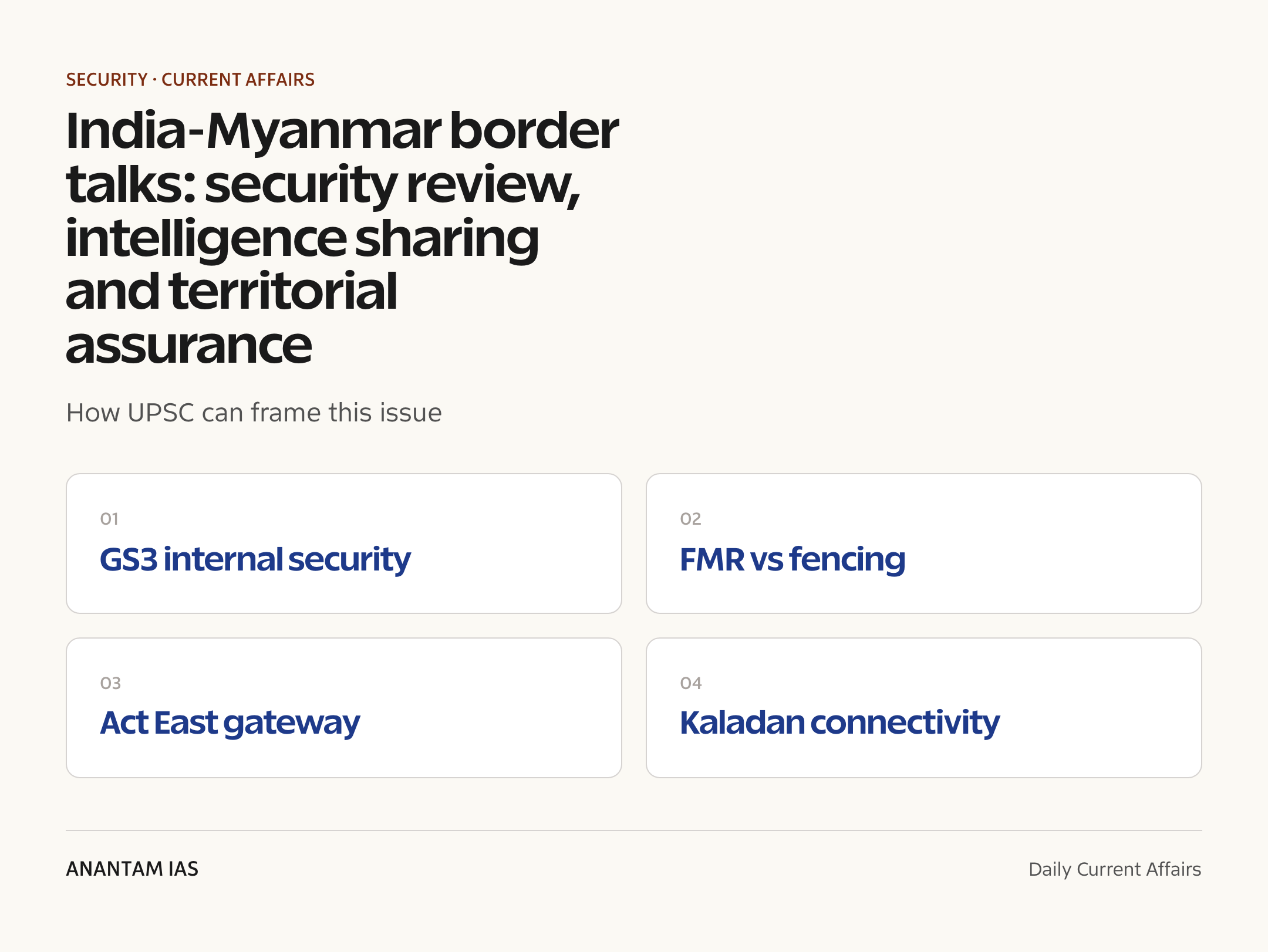
- Security challenges in border areas: porous hilly terrain, insurgent safe havens, and the fencing-versus-free-movement trade-off on the Myanmar frontier.
- Linkages of organised crime with terrorism: Golden Triangle narcotics, arms smuggling, human trafficking and cyber-scam networks routed through Myanmar.
- Role of intelligence sharing, border-guarding forces (Assam Rifles) and bilateral mechanisms in managing external-internal security linkages.
GS Paper 2
- India and its neighbourhood: calibrated engagement with Myanmar’s military government under Neighbourhood First and Act East.
- Connectivity diplomacy — Kaladan project and the Trilateral Highway as instruments of regional integration and as a counter to China’s corridors in Myanmar.
Essay
- Borders as bridges versus borders as barriers — what the FMR-to-fencing shift says about India’s frontier philosophy.
- National security and humanitarian obligation: managing refugee inflows from a neighbour in civil war.
Background and Context
The 1,643-km frontier: geography before policy
The India-Myanmar border is among India’s most difficult frontiers to police — hilly, forested, thinly demarcated on the ground and historically open.
- It runs 1,643 km through four states — Arunachal Pradesh (520 km), Nagaland (215 km), Manipur (398 km) and Mizoram (510 km).
- The terrain is largely un-fenced, mountainous jungle; villages and ethnic communities (Naga, Kuki-Zo-Chin, Mizo-Chin kinship) straddle the line, so families live on both sides.
- The Assam Rifles, India’s oldest paramilitary force, is the designated border-guarding force here — unlike the BSF on the Pakistan and Bangladesh borders — with administrative control under the MHA and operational control under the Army.
- The border’s openness historically supported legitimate border trade (Moreh–Tamu being the main land gateway) but also insurgent transit, narcotics flows and smuggling.
- See the primer on India’s border management and India-Myanmar relations for the full syllabus picture.
Free Movement Regime: from open border to border passes
The FMR — the border’s defining arrangement — has been rolled back in stages since 2024.
- The Free Movement Regime, formalised in 2018 under the Act East policy, allowed hill tribes residing along the border to travel up to 16 km into the other country without a visa.
- In February 2024, the Union Home Minister announced the government’s decision to scrap the FMR and fence the entire border, citing internal security and the demographic balance of the Northeast.
- In December 2024, a replacement protocol was notified: residents within 10 km of the border can cross using border passes issued at 43 designated crossing points manned by the Assam Rifles.
- State responses diverge sharply: Manipur (post-2023 ethnic violence) pushed for scrapping, while Mizoram and Nagaland oppose fencing, citing kinship ties cut by a colonial-era boundary.
- The FMR debate is now a classic GS3 case study in balancing security hardening against livelihoods, ethnic kinship and treaty-like customary rights.
Fencing and surveillance: the ₹31,000-crore project
Alongside the FMR rollback, India has committed to physically sealing the frontier over a decade.
- The Cabinet Committee on Security gave in-principle approval in September 2024 for fencing the full 1,643 km plus border roads, at an estimated ₹31,000 crore over about ten years.
- Only around 30 km had been fenced by late 2024 — including a roughly 10-km pilot stretch at Moreh, Manipur — with the Border Roads Organisation executing parallel road works.
- Plans include hybrid surveillance — smart fencing, sensors and patrol tracks — adapted to terrain where a conventional linear fence is impractical.
- Critics note fencing costs, ecological damage in biodiversity-rich hills, and the risk of alienating border communities whose cooperation ground-level intelligence depends on.
Insurgency and transnational crime: why the assurance matters
Myanmar’s Sagaing Region and adjoining tracts have long hosted camps of Northeast Indian insurgent groups — the core concern behind Wednesday’s territorial assurance.
- Groups such as NSCN-K, ULFA (Independent) and Manipur valley-based outfits (PLA, UNLF and others) have used Myanmar territory for camps, training and transit.
- India and Myanmar have earlier run coordinated operations — notably Operation Sunrise (2019) — against insurgent camps along the border.
- The border is a conduit for Golden Triangle narcotics (heroin, methamphetamine/yaba), small arms, gold and wildlife contraband; Manipur and Mizoram are key transit corridors.
- The talks’ inclusion of cybercrime reflects the rise of cyber-scam compounds in Myanmar’s lawless border zones, where trafficked Indian nationals have been forced to run online frauds — several rescue operations have been coordinated with Myanmar in 2024–26.
- The agreed intelligence-sharing and operational coordination framework aims to institutionalise real-time inputs rather than episodic, operation-specific cooperation.
The post-coup context: a neighbour in civil war
The February 2021 military coup transformed the border from a managed frontier into the edge of an active civil war.
- Since the February 2021 coup, Myanmar’s junta has lost control of much of Chin State and Sagaing Region — the areas actually abutting India — to ethnic armed organisations and People’s Defence Forces.
- Tens of thousands of refugees, largely Chin, have crossed into Mizoram and Manipur, sheltered by kin communities; the influx feeds India’s demographic and security anxieties.
- Any junta assurance that territory “will not be used against India” is constrained by this reality: Naypyidaw does not control much of the relevant territory.
- India has stuck to calibrated engagement — dealing with the State Administration Council on security and connectivity while providing humanitarian aid — rather than isolation, partly to avoid ceding space to China.
- China’s China-Myanmar Economic Corridor and the Kyaukpyu port project deepen the strategic stakes of India staying engaged.
Connectivity stakes: Kaladan, Trilateral Highway and MAHASAGAR
The meeting re-committed both sides to the two flagship connectivity projects that make Myanmar India’s gateway to Southeast Asia.
- The Kaladan Multi-Modal Transit Transport Project links Kolkata to Sittwe Port (operational since 2023) by sea, Sittwe to Paletwa by the Kaladan river, and Paletwa to Zorinpui in Mizoram by road — giving the Northeast an outlet bypassing the Siliguri Corridor.
- The road leg through conflict-hit Chin State remains the project’s chief bottleneck; completion needs exactly the on-ground security the two sides discussed.
- The India-Myanmar-Thailand Trilateral Highway (Moreh to Mae Sot) is the land spine of Act East; sections in Myanmar await stabilisation and funding.
- India framed the relationship within Neighbourhood First, Act East and MAHASAGAR — signalling that Myanmar bridges India’s continental and maritime strategies.
- Compare with the wider India-ASEAN connectivity projects primer for Prelims-ready specifics.
Way Forward
Harden the border intelligently, not just physically
- Sequence fencing by threat density — insurgency and narcotics corridors first — while pairing it with sensor-based hybrid surveillance in terrain where fences fail.
- Operationalise the promised intelligence-sharing pipeline with dedicated liaison officers, joint databases on insurgent movement, and periodic coordinated patrols or operations.
- Invest in border-area development (Vibrant Villages-style) and formalised trade at Moreh so local communities gain more from a regulated border than from smuggling economies.
Engage all stakeholders in Myanmar and at home
- Maintain quiet channels with ethnic armed organisations controlling the actual border tracts, since junta assurances alone can’t secure them.
- Adopt a clear, humane refugee-management framework with biometric registration, replacing ad-hoc state-level responses in Mizoram and Manipur.
- Fast-track the Kaladan road leg and Trilateral Highway with conflict-sensitive execution, keeping connectivity gains ahead of China’s corridor momentum.
Conclusion
The 23rd National Level Meeting delivers what India most wanted on paper: a renewed Myanmar assurance against anti-India activity from its soil, plus an upgraded intelligence-sharing framework. But the guarantee’s worth depends on a state that controls only part of its own borderlands.
For India, the path runs through both hard and soft instruments — calibrated fencing and surveillance on the 1,643-km frontier, sustained engagement with whoever holds ground across it, and connectivity projects that convert a security liability into the Northeast’s economic gateway. The border question is no longer only about keeping threats out; it’s about managing a shared, unstable neighbourhood without losing the people who live on it.
UPSC Practice Questions
Prelims MCQ 1
With reference to the India-Myanmar border, consider the following statements:
- The India-Myanmar border runs through the four states of Arunachal Pradesh, Nagaland, Manipur and Mizoram.
- The Border Security Force (BSF) is the designated border-guarding force for the India-Myanmar border.
- The Free Movement Regime allowed border residents visa-free movement up to 16 km into the other country.
How many of the above statements are correct?
(a) Only one (b) Only two (c) All three (d) None
Answer: (b) Only two
Explanation:
Statements 1 and 3 are correct. Statement 2 is wrong — the Assam Rifles, not the BSF, guards the 1,643-km India-Myanmar border, under MHA administrative control and Army operational control.
Prelims MCQ 2
The Kaladan Multi-Modal Transit Transport Project connects which of the following pairs of terminal points?
(a) Kolkata Port and Sittwe Port, with onward river-road links to Zorinpui in Mizoram (b) Chennai Port and Yangon Port, with onward rail links to Imphal in Manipur (c) Haldia Port and Kyaukpyu Port, with onward road links to Aizawl in Mizoram (d) Visakhapatnam Port and Dawei Port, with onward highway links to Moreh in Manipur
Answer: (a) Kolkata Port and Sittwe Port, with onward river-road links to Zorinpui in Mizoram
Explanation:
Kaladan links Kolkata to Sittwe Port (Myanmar) by sea, Sittwe to Paletwa via the Kaladan river, and Paletwa to Zorinpui in Mizoram by road — an alternative Northeast outlet bypassing the Siliguri Corridor.
UPSC Mains Questions
- Myanmar’s assurance that its territory will not be used against India’s interests is necessary but not sufficient for Northeast security. Critically examine in the context of the post-2021 situation in Myanmar and India’s border-management response. (250 words)
- The scrapping of the Free Movement Regime and fencing of the India-Myanmar border involve a trade-off between security and the rights of border communities. Discuss, suggesting a balanced framework for managing this frontier. (250 words)
Sources: The Hindu and Indian Express.
Frequently Asked Questions
What was decided at the India-Myanmar meeting?
At the 23rd National Level Meeting in New Delhi (July 7–8, 2026), Myanmar assured India its territory won’t be used against Indian security interests. Both sides agreed to enhance intelligence sharing, operational coordination and capacity building against terrorism, insurgency, narcotics, trafficking and cybercrime, and to push the Kaladan and Trilateral Highway projects.
Who led the two delegations?
India’s delegation was led by Union Home Secretary Govind Mohan, while Myanmar’s was led by Major General Min Thu, Deputy Minister in Myanmar’s Ministry of Home Affairs. The National Level Meeting is the home-ministry-level bilateral security dialogue between the two countries.
How long is the India-Myanmar border?
The border is 1,643 km long and touches four states — Arunachal Pradesh (520 km), Nagaland (215 km), Manipur (398 km) and Mizoram (510 km). It is guarded by the Assam Rifles and is largely unfenced, hilly and forested, which makes policing difficult.
What is the Free Movement Regime (FMR)?
The FMR, formalised in 2018, allowed hill communities living along the border to travel up to 16 km into the other country without a visa. In February 2024 India announced its scrapping; since December 2024, movement is limited to 10 km through border passes issued at 43 designated crossing points.
Why is the border being fenced?
The government cites insurgent movement, narcotics and arms smuggling, and demographic pressures from post-coup refugee inflows. The Cabinet Committee on Security approved fencing the full 1,643 km with border roads at about ₹31,000 crore over roughly ten years, though Mizoram and Nagaland oppose it over ethnic kinship ties.
What is the Kaladan project?
The Kaladan Multi-Modal Transit Transport Project links Kolkata to Sittwe Port in Myanmar by sea, Sittwe to Paletwa by river, and Paletwa to Zorinpui in Mizoram by road. It gives Northeast India an alternative access route to the sea, bypassing the narrow Siliguri Corridor.