West Bengal Border Fencing: Land Transfer and Security Coordination
Why in News?
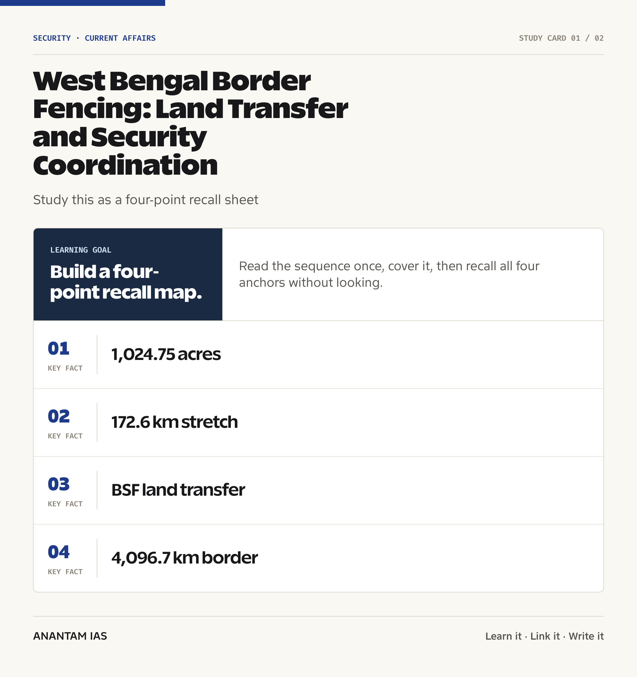
The Hindu reported that the West Bengal government had, as of July 14, 2026, formally handed over 1,024.75 acres to support fencing across 172.6 km of the India-Bangladesh border.
The transfer gives the Border Security Force (BSF) access to land needed for physical barriers and brings a long-standing implementation bottleneck into focus: border guarding is a Union responsibility, but land records, acquisition and local administration depend heavily on the State government.
- The reported transfer covers 1,024.75 acres linked to 172.6 km of proposed or completed fencing.
- Reported district highlights include Murshidabad, where about 337 acres were linked to 45.4 km of fencing.
- In North 24 Parganas, 241.03 acres were linked to a 42.07-km stretch.
- In Cooch Behar, 135.33 acres were linked to 39.39 km, while Malda accounted for about 176.78 acres and 20.15 km.
- The land is being handed to the BSF, India’s border-guarding force for the Bangladesh and Pakistan frontiers.
The development matters in the context of:
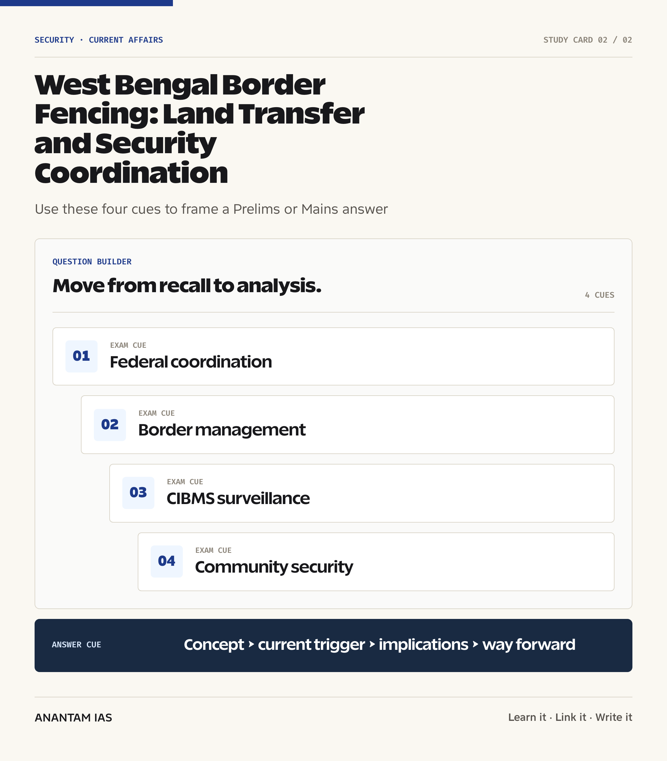
- The development is a live example of cooperative federalism in internal-security infrastructure.
- It shows why fencing progress can’t be judged only by sanctioned kilometres; land availability, terrain and bilateral protocols shape execution.
- It also supports a wider shift from fence-only thinking to integrated border management using patrols, sensors, roads, intelligence and local development.
UPSC Relevance
Prelims Relevance
- The India-Bangladesh border is 4,096.7 km long and runs through West Bengal, Assam, Meghalaya, Tripura and Mizoram.
- West Bengal shares about 2,216.7 km of this border, the longest share among Indian States.
- The BSF is a Central Armed Police Force under the Ministry of Home Affairs and guards India’s borders with Bangladesh and Pakistan.
- The BSF Act, 1968 provides the statutory basis for the force.
- The Border Management-I Division of the Ministry of Home Affairs handles fencing, floodlighting, roads, Border Out Posts and technological solutions on several international borders.
- The Comprehensive Integrated Border Management System (CIBMS) combines sensors, networks, intelligence and command-and-control systems.
- BOLD-QIT is a technology project used on the riverine India-Bangladesh border in Assam under CIBMS.
- Physical fencing may be impracticable in riverine, marshy and densely populated terrain, making technology and patrolling necessary complements.
Mains Relevance
GS Paper 3
- Challenges of border management, cross-border crime, trafficking and illegal movement.
- Role of the BSF, fencing and technology-led surveillance in internal security.
- Balancing hard infrastructure with border-community welfare and legitimate cross-border movement.
GS Paper 2
- Centre-State coordination when Union security projects require State-controlled land and district administration.
- Institutional accountability, rehabilitation and consultation in land transfer for public purposes.
Essay
- Security infrastructure works best when federal coordination converts policy intent into local implementation.
- A secure border must act as both a barrier to crime and a gateway for lawful trade, travel and cultural contact.
Background and Context
The India-Bangladesh Border
India’s eastern frontier is long, inhabited and geographically varied, so it can’t be secured by a uniform barrier.
- The Ministry of Home Affairs records the boundary at 4,096.7 km across West Bengal, Assam, Meghalaya, Tripura and Mizoram.
- The border crosses plains, rivers, chars, marshes and settlements; seasonal flooding and shifting river channels can alter ground conditions.
- Many communities have family, livelihood and cultural ties across the frontier, while formal movement and trade pass through notified land ports such as Petrapole.
- The operational challenge is to stop smuggling, trafficking and unauthorised crossings without obstructing lawful trade or daily life in border villages.
- For a deeper static foundation, revise India’s land and maritime border-management framework.
What the New Land Transfer Covers
The July 2026 announcement converts land parcels under State control into work fronts available for BSF-linked fencing.
- The reported statewide total is 1,024.75 acres associated with 172.6 km of fencing.
- The largest reported district component was Murshidabad, with about 337 acres associated with 45.4 km.
- North 24 Parganas accounted for 241.03 acres and 42.07 km, while Cooch Behar accounted for 135.33 acres and 39.39 km.
- Malda accounted for about 176.78 acres and 20.15 km in the district-wise details reported by The Hindu.
- The figures should be read as land made available for works, not proof that every kilometre became operational on the announcement date.
- Construction still requires surveys, contracting, local access, technical design and resolution of site-specific objections.
Why Land Becomes a Federal Bottleneck
Border security has a national command structure, but the ground needed for fencing sits inside State and district administrative systems.
- The Union government, through the Ministry of Home Affairs, plans border infrastructure and deploys the BSF.
- State departments maintain land records, identify ownership and coordinate acquisition, transfer, compensation and local access.
- District magistrates, revenue officials, police and local bodies are essential for survey and possession of scattered parcels.
- Delays can arise from title disputes, fragmented holdings, compensation concerns, public protests and the need to preserve roads, farms and habitation access.
- The case shows cooperative federalism as an operational requirement, not only a constitutional slogan.
- Students can connect this example with the broader institutional framework of India’s internal security.
National Fencing Status and Constraints
Official data show high coverage, but the remaining gaps are often the hardest and most sensitive stretches.
- In a February 2025 parliamentary reply, the Ministry of Home Affairs said 3,232.218 km of the 4,096.7-km India-Bangladesh border had been fenced.
- The same reply placed the unfenced length at 864.482 km, including 174.514 km classified as a non-feasible gap.
- Officially listed constraints included land acquisition, objections by Border Guard Bangladesh, a limited working season, landslides and marshy terrain.
- A 2020 parliamentary reply recorded that 1,637 km of West Bengal’s 2,216.7-km boundary had physical fencing at that time; the figure is useful as historical context, not a current completion count.
- India has stated that fencing work observes applicable bilateral protocols and understandings with Bangladesh.
- The key exam point is that an unfenced stretch isn’t automatically unguarded; BSF patrols and non-physical barriers may still cover it.
From Physical Fence to Smart Border Management
A fence delays and channels movement, while a layered system detects, assesses and responds to attempted crossings.
- The CIBMS integrates thermal imagers, infrared and laser-based alarms, radars, cameras, ground sensors and communication networks.
- Sensor feeds reach command-and-control centres, allowing quick assessment and deployment of reaction teams.
- The BOLD-QIT project covered a difficult 61-km riverine stretch around the Brahmaputra in Assam, where conventional fencing wasn’t feasible.
- Technology can improve detection in fog, marshes and river channels, but it still needs trained personnel, maintenance and reliable power and connectivity.
- Physical works also include border roads, floodlighting and Border Out Posts, which support mobility and sustained presence.
- The July 14 digest on new threats identified by India’s border districts adds the police and intelligence layer to this infrastructure story.
Security, Rights and Border Communities
Durable security depends on public legitimacy because fencing can reshape access to farms, markets, schools and family networks.
- Land transfer should follow clear records, fair compensation and accessible grievance mechanisms for affected owners and users.
- Fence alignment must account for habitations and cultivated plots that may lie close to the international boundary.
- Gates, regulated access and predictable timings may be needed where farmers must reach land near or beyond a fence line.
- Border residents can provide valuable local intelligence, but trust erodes when security practices are arbitrary or livelihoods are ignored.
- Development of roads, health services, communications and jobs reduces the vulnerability that smuggling networks may exploit.
- Success should be measured through fewer crimes, quicker lawful movement and safer communities, not only kilometres fenced.
Way Forward
Complete Land and Work-Front Coordination
- Create a shared parcel-level dashboard for the Ministry of Home Affairs, BSF, State revenue departments and district administrations.
- Track each stretch from survey and title verification to possession, construction and commissioning, with named responsibility at every stage.
- Resolve compensation and access disputes through time-bound local hearings before they become prolonged litigation.
Use Terrain-Specific Security Design
- Build physical fencing where feasible and deploy CIBMS-type surveillance across riverine, marshy or densely inhabited gaps.
- Link sensors to patrol routes and quick-reaction protocols so detection produces a timely field response.
- Audit equipment for downtime, false alarms and monsoon resilience instead of counting only installed devices.
Protect Communities and Lawful Connectivity
- Publish clear procedures for compensation, gate access and grievance redressal in affected villages.
- Coordinate fencing with border roads, communications, schools, health facilities and legitimate trade infrastructure.
- Use community liaison and local police intelligence while protecting civil liberties and avoiding the stigmatisation of border residents.
Sustain Bilateral and Institutional Channels
- Address alignment objections and construction protocols through regular BSF-BGB coordination.
- Review progress using outcomes such as reduced trafficking and smuggling, safer patrols and faster lawful crossings.
- Keep parliamentary data current and State-specific so public debate distinguishes feasible works from non-feasible gaps.
Conclusion
West Bengal’s land transfer is important because it addresses the administrative step that turns a sanctioned fence into a buildable project. The episode captures the practical meaning of Centre-State coordination in internal security.
But a secure India-Bangladesh border needs more than barbed wire. The stronger model combines physical barriers, smart surveillance, responsive forces, bilateral coordination and community-centred development, with success judged by safer borders and protected lawful movement.
UPSC Practice Questions
Prelims MCQ 1
With reference to the India-Bangladesh border, consider the following statements:
- The Border Security Force guards India’s borders with both Bangladesh and Pakistan.
- West Bengal has the longest State-wise share of India’s boundary with Bangladesh.
- BOLD-QIT was developed as a technology solution for a riverine border stretch in Assam.
How many of the above statements are correct?
(a) Only one (b) Only two (c) All three (d) None
Answer: (c) All three
Explanation:
The BSF guards the Bangladesh and Pakistan borders. West Bengal shares about 2,216.7 km with Bangladesh, and BOLD-QIT was deployed on a difficult riverine stretch in Dhubri, Assam.
Prelims MCQ 2
Which one of the following best describes the Comprehensive Integrated Border Management System (CIBMS)?
(a) A customs tariff platform used only at land ports (b) A system integrating surveillance sensors, communication networks and command centres (c) A bilateral tribunal that settles boundary disputes (d) A State police database for recording land titles
Answer: (b) A system integrating surveillance sensors, communication networks and command centres
Explanation:
CIBMS combines technologies such as thermal imagers, alarms, radars, cameras and sensors with communications and command-and-control systems to strengthen border surveillance.
UPSC Mains Questions
- Border fencing is as much a challenge of federal coordination and local administration as it is of national security. Discuss with reference to the land, institutional and community issues involved along the India-Bangladesh border.
- Physical fencing alone can’t secure India’s geographically diverse borders. Examine how technology, intelligence, bilateral mechanisms and border-area development can create an integrated border-management system.
Sources: Ministry of Home Affairs, Government of India and The Hindu.
Frequently Asked Questions
What did West Bengal transfer for border fencing?
The State government reportedly handed over 1,024.75 acres associated with fencing across 172.6 km of the India-Bangladesh border as of July 14, 2026. The transfer makes land available to the BSF-linked fencing process; it doesn’t mean every kilometre was completed that day.
Which force guards the Bangladesh border?
The Border Security Force, a Central Armed Police Force under the Ministry of Home Affairs, guards India’s borders with Bangladesh and Pakistan. Its duties combine patrolling, surveillance, interception and coordination with other agencies and the counterpart border force.
Why does border fencing need State cooperation?
The Union plans border-security infrastructure and deploys the BSF, while State and district authorities manage land records, ownership verification, acquisition or transfer, compensation and local access. A fence can’t be built until the required parcels are lawfully identified and made available.
How much India-Bangladesh border was fenced?
A Ministry of Home Affairs reply in February 2025 said 3,232.218 km of the 4,096.7-km border had been fenced. It listed 864.482 km as unfenced, including 174.514 km of non-feasible gap. These are national figures from that reply.
What is smart fencing under CIBMS?
CIBMS integrates sensors, cameras, thermal imagers, radars, communication networks and command centres to detect and respond to crossings. It supplements physical fencing, especially in riverine, marshy or densely populated stretches where a conventional barrier is difficult to build.
Can every border stretch be physically fenced?
No. Rivers, marshes, landslide-prone terrain, settlements, land disputes and bilateral objections can make physical fencing difficult or non-feasible. Such stretches require a mix of patrols, electronic surveillance, intelligence, local cooperation and carefully designed access controls.