Why in News?
Researchers from the Indian Institute of Science Education and Research (IISER), Kolkata, have confirmed the detection of microplastics over the Sundarbans (the first such evidence in a protected Indian ecosystem).
Mangroves are blue-carbon ecosystems, meaning they are efficient at capturing and storing carbon dioxide from the atmosphere. The presence of microplastics may decline the mangroves’ ability to sequester atmospheric carbon dioxide. Consequently, Sundarbans may become “less blue.”
| UPSC Relevance: GS-3 Environment & Biodiversity: Climate Change & Conservation. Prelims: Key facts about Sundarbans; Plastispheres Mains: Sundarbans: Location, Ecological role and challenges. |
Key facts about Sundarbans:
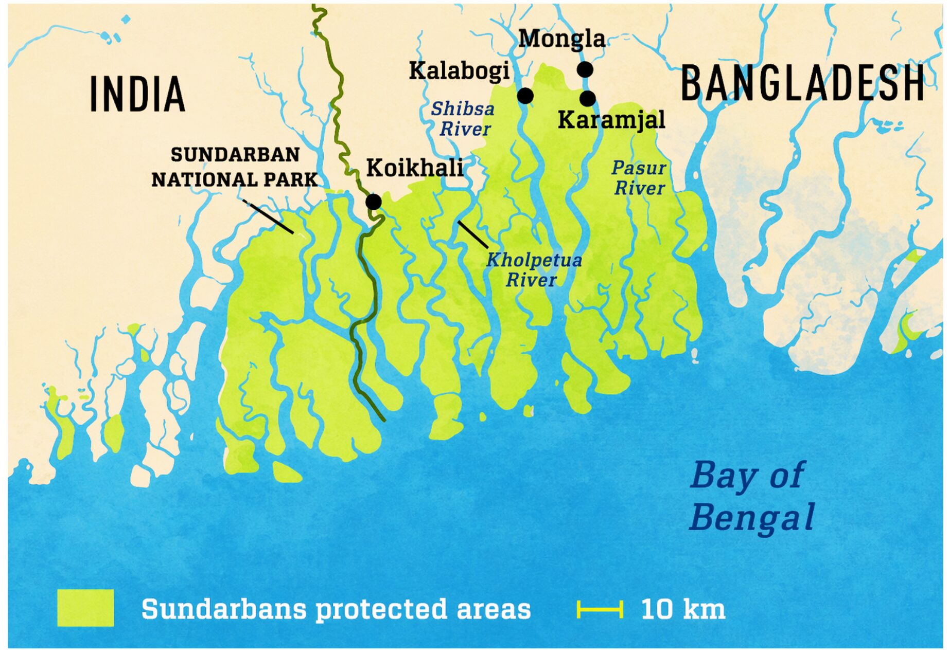
- Location: The Sundarbans is a cluster of low-lying islands in the Bay of Bengal. It is known for its unique estuarine ecosystem (a mix of freshwater and saline water).
- It is located in the delta formed by the Ganga and Brahmaputra Rivers.
- Shared between India & Bangladesh.
- Total area: ~10,000 sq km. Distribution: ~40% in India & ~60% in Bangladesh.
- Boundaries & Rivers:
- Western boundary: Muriganga River
- Eastern boundary: Harinbhanga & Raimangal rivers
- Flora: Dominated by mangrove vegetation (Sundari tree- from which Sundarbans get their name)
- Fauna:
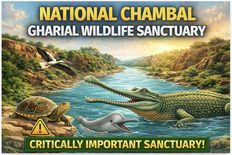
- Flagship Species: Royal Bengal Tiger (Endangered)
- Other Important Species:
- Northern river terrapin (Batagur baska)- Critically Endangered
- Irrawaddy dolphin (Endangered)
- Other species: Gangetic dolphin, Fishing cat, Saltwater crocodile
- Prone to: Cyclones (E.g., Amphan); Sea-level rise & coastal erosion; Recognised as a climate change hotspot.
Protection Status to Sundarbans:
- UNESCO World Heritage Site
- Biosphere Reserve under UNESCO’s Man and Biosphere Programme
- Ramsar Convention Site
- Important Bird Area (IBA)- BirdLife International
- Project Tiger Reserve (Sundarbans Tiger Reserve)
- Declared Critical Tiger Habitat (CTH) under the Wildlife Protection Act, 1972
Ecological significance of the Sundarbans:
- Unique Mangrove Ecosystem acts as natural coastal defence: The world’s largest contiguous mangrove forest. Acts as a transition zone (ecotone) between terrestrial, freshwater, and marine ecosystems. Mangroves act as a bio-shield (reduce wind velocity and wave energy) against cyclones, storm surges, and tsunamis, protecting inland populations.
- Biodiversity Hotspot: High primary productivity supports complex food webs. Habitat of the Royal Bengal Tiger (hosts the largest mangrove tiger population) and other species. Acts as a nursery ground for marine species.
- Climate Regulation & Carbon Sink: Mangroves store up to 4-10 times more carbon than tropical forests (blue-carbon ecosystems). Stabilise sediments and prevent coastal erosion, and help mitigate climate change impacts
- Livelihood support system: Supports ~4.5 million people (India + Bangladesh region). Provides fisheries (fish, crab, shrimp), fuelwood and other minor forest produce.
- Hydrological & geomorphological role: Maintains delta formation and sediment balance. Regulates salinity gradients between freshwater and marine systems.
Major threats facing the Sunderbans:
- Climate change & sea level rise: Studies have reported sea-level rise in parts of the Sundarbans (specifically Sagar Island) at 8-12 mm per year (global average ~2 mm). This high rate is due to a combination of climate-driven thermal expansion and rapid local land subsidence (sinking) of the Bengal delta (2-4 mm/year). E.g., Complete submersion of Lohachara Island and the partial submersion of Ghoramara Island in West Bengal’s Sundarbans delta.
- Continuous shoreline erosion and accretion cycles are observed across the delta.
- Salinity Intrusion: Salinity intrusion in the Sundarban delta is driven by rising sea levels, reduced freshwater flow (upstream dams & diversions in the Ganga-Brahmaputra basin), and frequent cyclones. It destroys agriculture, contaminates drinking water and kills mangrove biodiversity (decline of Sundari trees).
- Increased Frequency of Cyclones: The delta is hit by increased frequency & intensity of cyclones in the Bay of Bengal (13 supercyclones in the last 23 years, including four major storms between 2019 and 2021), primarily driven by rising sea surface temperatures (0.5 degrees per decade).
- Anthropogenic pressure: Overexploitation (Fishing, crab collection, fuelwood extraction) leads to habitat degradation.
- Pollution: Industrial threats (E.g., power plants near Sundarbans), oil spills, and agricultural runoff.
- Emerging Threats (Microplastics): A 2025 study by IISER Kolkata confirms the detection of microplastics over the Sundarbans (~5 to 58 particles per litre). Most particles were identified as black polypropylene (PP) and polyethylene (PE) fibres, likely from burnt waste, fishing nets, and textiles. These particles can settle on sediments and leaves, enter the estuarine food chain, and alter the carbon budget of the Bay of Bengal.
| Key findings by IISER: • The researchers also found plastispheres, which are complex communities of bacteria and microbes living on the surface of the plastic. The life-forms growing on the plastic were producing carbon of their own, called biogenic carbon. • As the plastics are roughly 90% carbon, they were acting as a “novel carbon reservoir”. As microplastics break down in water, they release dissolved organic carbon, which can be food for bacteria to grow and multiply much faster than they would naturally. |
Key Restoration Initiatives:
- Mangrove Plantation Initiatives: More than 16 million mangroves have been planted by initiatives like that of Nature Environment and Wildlife Society (NEWS) in collaboration with local communities, covering over 5000 hectares.
- MISHTI Scheme: The Indian government launched the Mangrove Initiative for Shoreline Habitats & Tangible Incomes (MISHTI) to boost mangrove conservation.
- IUCN Involvement: The Conservation and Restoration Initiatives in the Sundarbans (CRIS) project aims to strengthen coastal resilience.