Why in News?
Recently, a massive ice-rock avalanche and glacial collapse near the Nepal-China border generated destructive debris flows and flash floods across Nepal and Tibet, while creating downstream risks for India.
| UPSC Relevance: GS-2: India and its Neighbourhood; GS-3: Climate Change and Disaster Management Prelims: GLOF, ICIMOD Mains: Transboundary disaster management and India-Nepal-China cooperation |
How did the Disaster unfold?
- The event was initially recorded as a magnitude-4.4 earthquake. Subsequent analysis indicated that the seismic signal was generated by the collapse of bedrock and a huge glacial mass rather than tectonic activity.
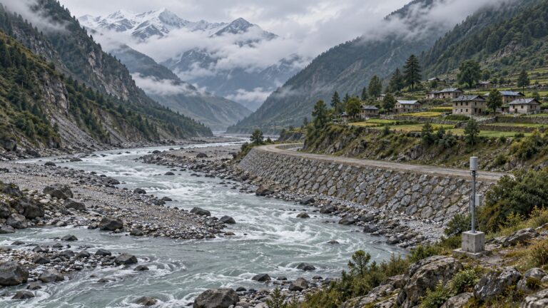
- Ice, rock and debris plunged into the valley and entered the Lhende Khola-Bhote Koshi-Trishuli river system, producing a high-velocity flood that travelled nearly 100 kilometres.
The precise trigger remains under investigation. While a direct climate attribution requires further study, rising temperatures, glacier retreat and permafrost thaw are making Himalayan slopes increasingly unstable.
Scale of Destruction:
- Over 600 deaths had been reported across Nepal and Tibet, while over 2000 people remained missing.
- Entire settlements, roads and bridges were swept away, while damage to hydropower projects reportedly affected over 12% of Nepal’s hydropower generating capacity. Reconstruction costs could reach $4-$5 billion, almost one-tenth of Nepal’s economy.
- China’s Gyirong Port, the principal land-trade gateway between Nepal and Tibet, was buried under sediment and debris. Roads, electricity and communication links on the Chinese side were also disrupted.
Flood Fallout for India:
- Floodwaters moving through Nepal’s interconnected river systems increased levels in the Gandak, Kosi, Burhi Gandak and Ganga, placing Bihar and eastern Uttar Pradesh on high alert.
- Authorities monitored the Valmikinagar Barrage and vulnerable embankments, evacuated riverside communities and placed NDRF and State response teams on standby.
- India also activated humanitarian assistance, reflecting its Neighbourhood First policy and traditional first-responder role.
Why Trilateral Cooperation is Necessary?
The disaster demonstrates that the Himalayas constitute a shared ecological system. Geopolitical boundaries cannot contain glacial collapses, landslides, earthquakes or transboundary floods. Yet India, Nepal and China lack a comprehensive trilateral mechanism for managing such hazards.
Cooperation is constrained by:
- India-China strategic mistrust
- inadequate sharing of hydrological and glacial data
- incompatible early-warning systems
- weak last-mile communication; and
- infrastructure development in ecologically fragile valleys without adequate cumulative-risk assessment.
Way Forward:
- Establish a Nepal-India-China Himalayan Disaster Coordination Mechanism insulated from wider political differences.
- Share real-time seismic, weather and river-flow data.
- Jointly map glaciers, glacial lakes, permafrost and unstable mountain slopes.
- Develop interoperable early-warning and evacuation protocols.
- Conduct joint humanitarian-assistance and disaster-relief exercises.
- Use International Centre for Integrated Mountain Development’s (ICIMOD) scientific expertise and the Coalition for Disaster Resilient Infrastructure to build resilient roads, bridges and hydropower projects.
- Introduce basin-wide environmental assessments rather than evaluating projects individually.
- Involve local communities, pilgrims and tourism operators in multilingual last-mile warning systems.
The disaster is a reminder of nature’s fury, the fragility of Himalayan infrastructure and the physical interdependence of Nepal, India and China.
The three countries must compartmentalise geopolitical disputes and create a protected space for climate and disaster cooperation, because natural hazards do not recognise political borders.
Tell Google you want more of this.
Add Anantam IAS as a preferred sourceOne tap, and this site shows up more often in your own Top Stories, AI Overviews and AI Mode. Remove it any time.