Why in news?
International Centre for Integrated Mountain Development (ICIMOD) reports Himalayan ice loss has doubled since 2000, while Nepal’s August ice-rock collapse flood exposes risks of unplanned development.
UPSC Relevance
Prelims – Indian Himalayan Region
Mains
GS1: Salient features of world’s physical geography, distribution of key natural resources (water)
GS3: Conservation, environmental pollution and degradation, environmental impact assessment.
The Indian Himalayan Region (IHR)
- Extent – The IHR stretches about 2,500 km across 13 States and UTs, from Ladakh and J&K in the west to Arunachal Pradesh and the north-eastern hill States in the east. It covers roughly 16% of India’s area.
- Part of a larger system – The IHR is part of the Hindu Kush Himalaya (HKH), a 3,500 km mountain arc shared by eight countries – Afghanistan, Pakistan, India, Nepal, Bhutan, China, Bangladesh and Myanmar.
- Young fold mountains – Formed by the collision of the Indian and Eurasian plates. The plate is still moving northward, so the range is still rising and most of it falls in seismic zones IV and V.
- Third Pole of Cryosphere – Outside the Arctic and Antarctic, the HKH holds the largest store of ice on earth.
Significance of the Himalayas
A. Geographical importance
- Climate shield – Blocks the cold, dry winds from Central Asia in winter, keeping north India warmer than other places at the same latitude.
- Monsoon trap – Forces the moist south-west monsoon winds to rise and shed rain over the plains (orographic rainfall). Without the Himalayas, much of north India would be a dry zone.
- Water tower – Glaciers and snow feed the Indus, Ganga and Brahmaputra, which keep flowing even in summer. Meltwater is crucial for lean-season flow and irrigation. Its rivers support close to two billion people in the mountains and the plains below.
- Builder of plains – Rivers carry sediment down from the mountains, which built and still renews the fertile Indo-Gangetic plains.
- Natural frontier – Acts as a strategic barrier on the northern border; passes like Zoji La, Shipki La and Nathu La have shaped trade and defence.
- Energy – The bulk of India’s untapped hydropower potential lies in the Himalayan rivers.
B. Environmental and ecological importance
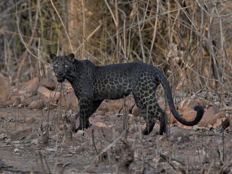
- Biodiversity hotspot – The Himalaya is one of India’s four biodiversity hotspots, with endemic species like the snow leopard, red panda, musk deer and Himalayan monal.
- Ecosystem services – Forests, alpine meadows and wetlands regulate water flow, hold soil, store carbon and give fuel, fodder and medicinal plants.
- Climate regulator – Snow and ice reflect sunlight and cool the region; their loss feeds further warming.
C. Economic importance
- Livelihood and culture – Supports farming, pastoral communities like the Gaddis, Bakarwals and Bhotiyas, pilgrimage (Char Dham, Amarnath, Kailash) and tourism.
Emerging threats to the stability of the Himalayas
A. Climate-driven threats
- Faster warming – According to the International Panel on Climate Change (IPCC) and World Meteorological Organization (WMO), high mountain Asia is warming at about 0.3°C per decade, nearly double the global average. Warming is uneven – the western Himalaya is heating faster, with night and winter temperatures rising most.
- Glacier retreat – ICIMOD (March 2026) found that ice-loss rates across the Hindu Kush Himalayas doubled since 2000. Less winter snow and more summer melt mean glaciers are shrinking and thinning.
- Warmer, weaker ice – Glacier ice that was once between -6°C and -20°C is now close to -2°C, making it much easier to melt.
- Permafrost thaw – Permafrost works like cement holding fractured rock together with ice. As it thaws, steep rock walls lose their grip, leading to rock avalanches, landslides and debris flows.
- Glacial Lake Outburst Floods (GLOFs) – New and expanding glacial lakes are held by loose moraine dams which can breach suddenly. One collapse can trigger a chain – avalanche, river damming, then a flash flood.
- Extreme weather – More cloudbursts and intense rain spells, alongside dry winters with poor snowfall.
- Other stressors – Black carbon and dust settling on snow speed up melting; forest fires in Uttarakhand and Himachal are becoming more frequent.
B. Human-made threats
- Hydropower cascades – Dams and tunnels built back-to-back on the same river, often in paraglacial zones. Blasting and tunnelling weaken slopes, and muck is often dumped into rivers.
- Road widening – Vertical cutting of slopes for highways and all-weather roads destabilises hills, as seen repeatedly in Himachal and Uttarakhand.
- River diversion projects – The proposed Chenab-Beas link (8.7 km tunnel through the Pir Panjal near Koksar, Lahaul-Spiti, at about 3,140 m) looks logical on paper, but sits in a fragile zone.
- Unplanned urbanisation – Multi-storey buildings on weak slopes, poor drainage and no attention to carrying capacity – Joshimath subsidence is the clearest example.
- Tourism overload – Pilgrim and tourist numbers far beyond what hill towns can handle, bringing traffic, waste and construction pressure.
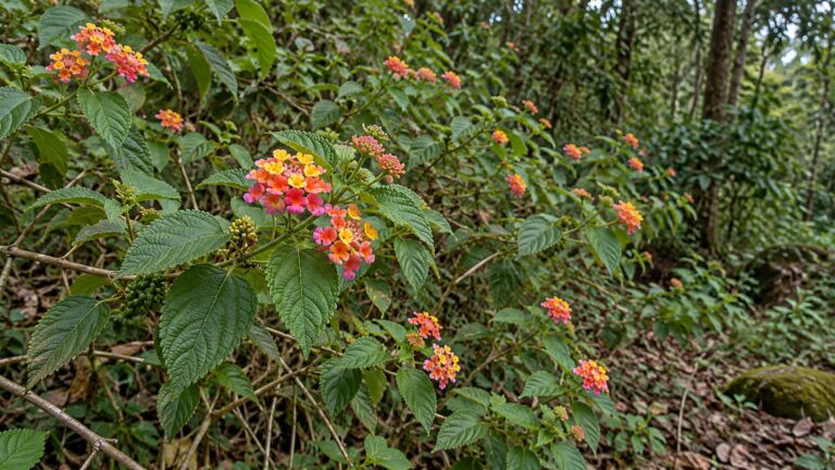
- Loss of forests and traditional practices – Deforestation, invasive weeds like Lantana and the decline of earthquake-resistant traditional houses like Kath-Kuni in Himachal.
C. Governance gaps
- Data gaps – Scientists admit they are dealing with a fast-changing future using an incomplete map. Ground stations at high altitudes are few.
- Plains-based rules – Building codes, EIA norms and flood zoning are largely designed for the plains. The cumulative impact of many projects in one valley is rarely assessed.
- Transboundary risk – Hazards start in one country and hit another; there is no strong regional system for real-time data sharing.
National Mission for Sustaining the Himalayan Ecosystem (NMSHE)
- Background – One of the eight missions under the National Action Plan on Climate Change (NAPCC), 2008. The nodal ministry is the Department of Science and Technology (DST).
- Aim – To understand and continuously assess the health of the Himalayan ecosystem and help policymakers protect it in the face of climate change.
- Outcomes – Better glacier monitoring and a common-framework climate vulnerability assessment of 12 Himalayan states (DST, 2019), which ranked Assam and Mizoram as most vulnerable.
- Gaps – Research has not translated well into binding rules for project clearance, building codes or zoning. State cells are thinly staffed and real-time hazard monitoring is still weak.
Other related initiatives
- National Mission on Himalayan Studies (NMHS) – MoEFCC scheme (2015-16); funds research and solutions for the IHR.
- SECURE Himalaya – MoEFCC-UNDP-GEF project for high-range landscapes and snow leopard habitats in Ladakh, J&K, Himachal, Uttarakhand and Sikkim.
- Himalayan State Regional Council – Set up by NITI Aayog (2018) to push sustainable development in the IHR.
- Expert committees – The Avay Shukla Committee (constituted in Court on Its Own Motion vs State of Himachal Pradesh) and the Ravi Chopra Committee both suggested restricting major hydro projects or putting construction above 2,200 m under detailed expert review.
Way forward
- Early warning – Satellite and drone surveillance to catch cliff fracturing, permafrost thaw and glacier instability; acoustic and hydrological sensors along glacier-fed rivers to alert downstream villages.
- Glacial lakes – Continuous monitoring of high-risk lakes and, where possible, controlled lowering of water levels (as done at South Lhonak through siphoning in 2016).
- Slope-sensitive flood zoning – Steep valleys spread damage vertically, so buildings must sit much higher above the riverbed; gentle valleys spread damage sideways and need different zoning.
- Rethink hydropower – A firm limit on construction above a defined altitude, cumulative impact studies for each river basin, and a review of projects like the Chenab-Beas link.
- Carrying capacity – Every hill town and tourist route should have a carrying capacity study; tourist and vehicle numbers can be regulated on that basis.
- Himalaya-specific rules – Separate Environmental Impact Assessment (EIA) norms, building codes and road design standards (tunnels, slope protection, scientific muck disposal) for mountain areas.
- Community and tradition – Use local knowledge, traditional architecture and nature-based solutions; involve panchayats in early warning and evacuation drills.
- Regional cooperation – A shared HKH system for real-time data exchange through ICIMOD, and pushing for loss and damage finance under the UNFCCC.
- Strengthen NMSHE – Link its research directly to project clearances and state planning, and give State Climate Change Cells more staff and funds.
The Himalayas are not just a mountain range but the base on which north India’s water, weather and food rest. Warming has changed their geology faster than our policies have changed. Hazard-averse, climate-resilient planning is now a necessity, not a choice.
Practice MCQ
Q1. Consider the following statements:
Statement-I: Rising temperatures increase the risk of rock avalanches and debris flows in the high Himalayas.
Statement-II: Permafrost fills fractures and joints in rock with ice and holds steep rock walls together.
Which one of the following is correct in respect of the above statements?
(a) Both Statement-I and Statement-II are correct and Statement-II explains Statement-I
(b) Both Statement-I and Statement-II are correct, but Statement-II does not explain Statement-I
(c) Statement-I is correct, but Statement-II is incorrect
(d) Statement-I is incorrect, but Statement-II is correct
Answer: (a). Warming thaws permafrost, which acts as a natural cement. Once the ice binding the rock melts, slopes lose strength and fail.
Mains Practice Question
Q. “The Himalayas are warming faster than the global average, turning a natural shield into a zone of cascading disasters.” Discuss the geographical and ecological significance of the Himalayas and examine the emerging threats to their stability. Suggest a development approach suited to the region. (15 marks, 250 words)
Tell Google you want more of this.
Add Anantam IAS as a preferred sourceOne tap, and this site shows up more often in your own Top Stories, AI Overviews and AI Mode. Remove it any time.