Why in News?
The Amarnath Yatra security protocol changed ahead of the Shri Amarnathji Yatra 2026, with the Indian Express reporting tighter pilgrim movement rules from Lakhanpur, the Punjab-side entry point into Jammu and Kashmir.
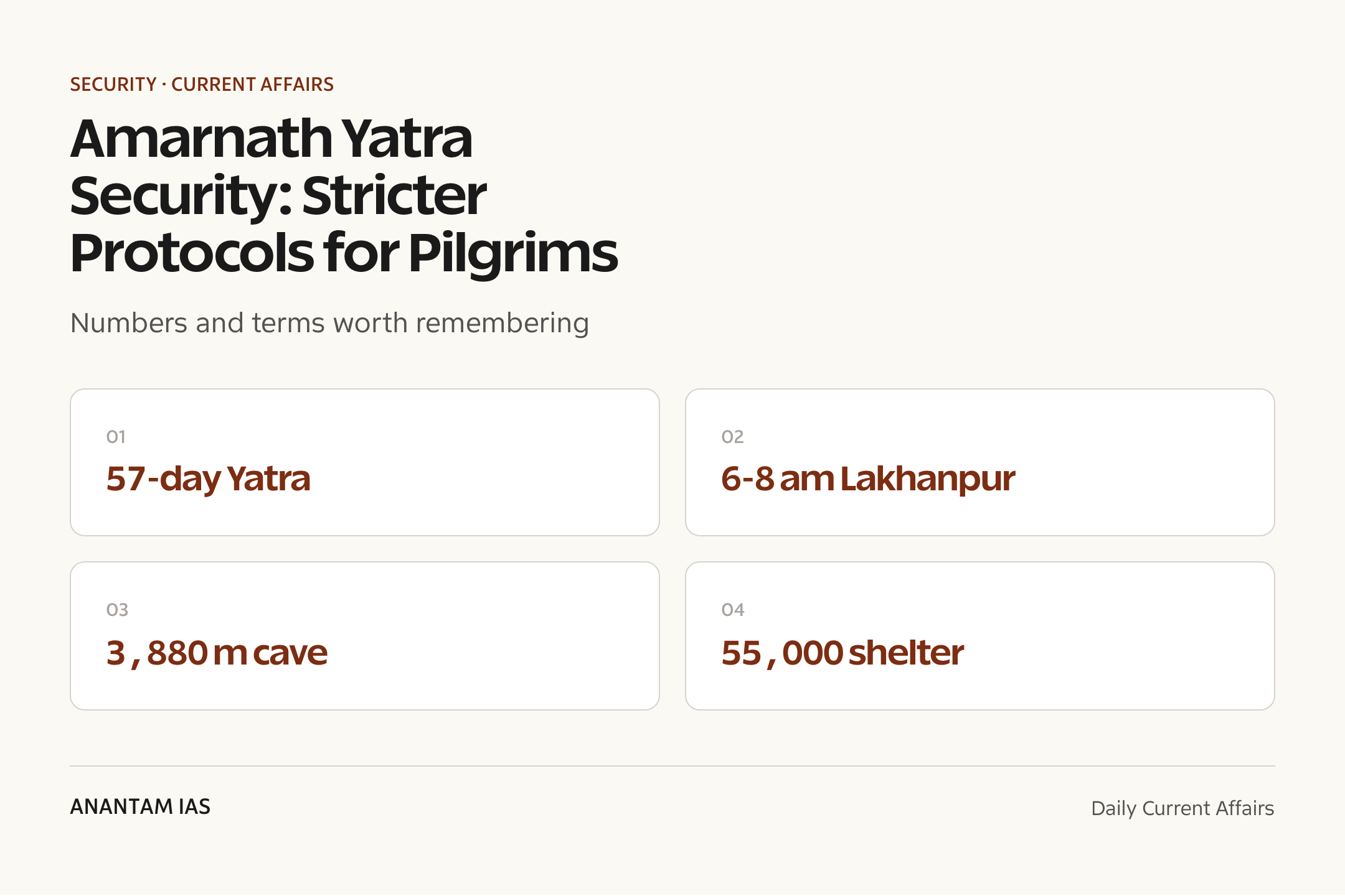
The Shri Amarnathji Shrine Board says the 57-day Yatra will run from 3 July 2026 to 28 August 2026, while official notices also place the Pahalgam and Baltal axes under a No Flying Zone from 1 July 2026 till completion.
- Indian Express reported that only pilgrims reaching Lakhanpur between 6 am and 8 am would be escorted onward to Jammu under security cover.
- Pilgrims arriving after 8 am are to halt at Lakhanpur for security reasons instead of moving independently toward Jammu.
- NH-44, the Jammu-Srinagar highway, is the permitted corridor; alternate routes such as the Udhampur-Dhar road and Mughal Road are not allowed for Yatra movement.
- Designated security convoys from Jammu are mandatory, including for pilgrims travelling in private vehicles.
- Night travel has been barred, and traffic authorities have fixed cut-off timings for convoys moving toward Pahalgam and Baltal transit or base camps.
- Accommodation capacity of about 55,000 pilgrims has been arranged between Lakhanpur and Banihal in Ramban district.
The development matters in the context of:
- Internal security matters because the route passes through Jammu and Kashmir, close to sensitive border-linked corridors and highway nodes.
- High-altitude disaster management matters because the Shrine Board’s health advisory notes trekking conditions up to 14,000 ft.
- Crowd control matters because pilgrim movement, langars, medical posts, traffic timing and base-camp capacity must work as one system.
- Jammu and Kashmir governance is tested through coordination among police, traffic police, civil administration, Shrine Board, health teams and civil society groups.
UPSC Relevance
Prelims Relevance
- Amarnath cave shrine: a high-altitude pilgrimage site in Jammu and Kashmir, reported at about 3,880 metres.
- Shri Amarnathji Shrine Board: statutory body responsible for better management of the Yatra and pilgrim facilities.
- Pahalgam route: the traditional route, reported by Indian Express as about 48 km from the Pahalgam side.
- Baltal route: the shorter and steeper route; the Shrine Board route page says Baltal to Holy Cave is about 14 km.
- Lakhanpur: key entry point into Jammu and Kashmir from the Punjab side for road-based Yatra movement.
- NH-44: the Jammu-Srinagar highway corridor used for regulated pilgrim movement.
- RFID card: mandatory identification and tracking card that registered yatris must collect before embarking on the Yatra.
- Compulsory Health Certificate: required health document; the Shrine Board says 2026 CHCs issued on or after 8 April 2026 are valid.
- No Flying Zone: official notice covers both Pahalgam and Baltal axes from 1 July 2026 till Yatra completion.
Mains Relevance
GS Paper 3
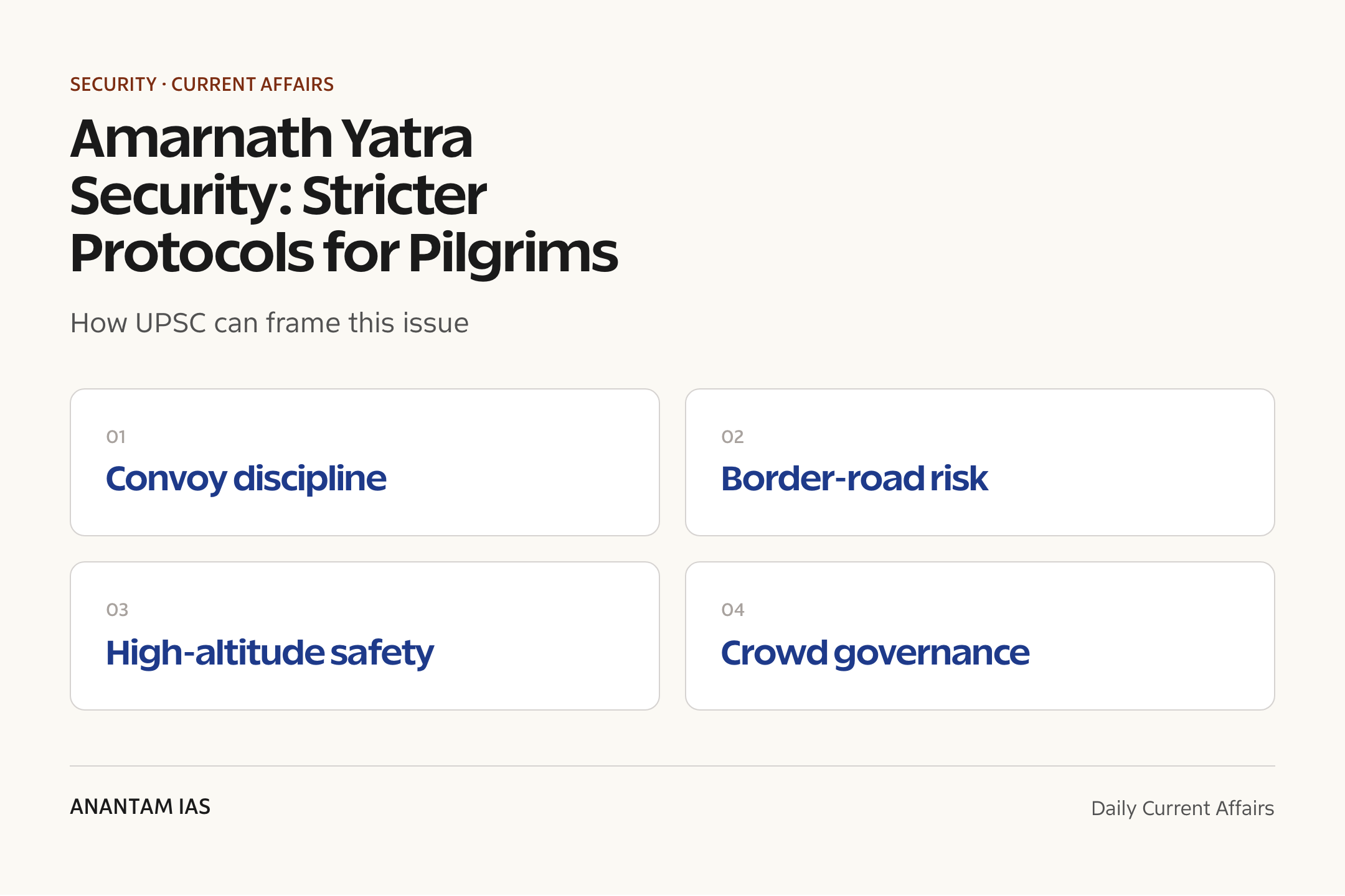
- Internal security: convoy discipline, highway protection, anti-infiltration posture and protection of vulnerable pilgrim movement.
- Disaster management: high-altitude sickness, crowd surge, weather disruptions, evacuation, medical posts and camp logistics.
GS Paper 2
- Governance: Centre-UT coordination, police-civil administration interface, service delivery and accountability in a sensitive region.
- Rights and public order: balancing freedom of pilgrimage with reasonable security restrictions and route controls.
GS Paper 1
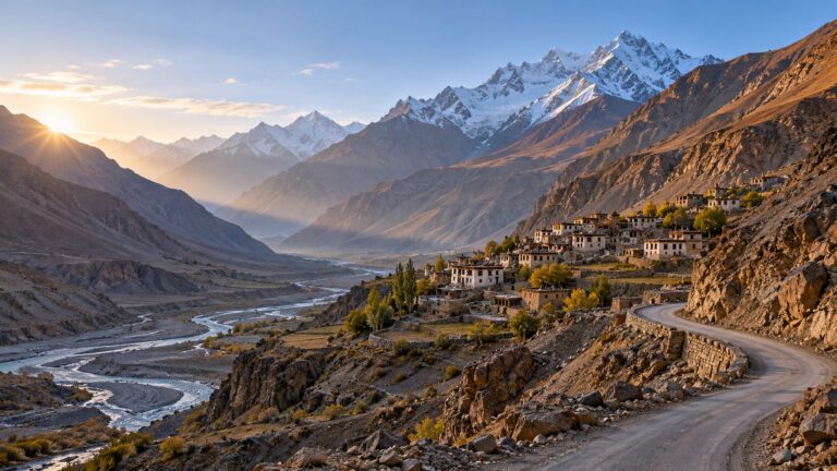
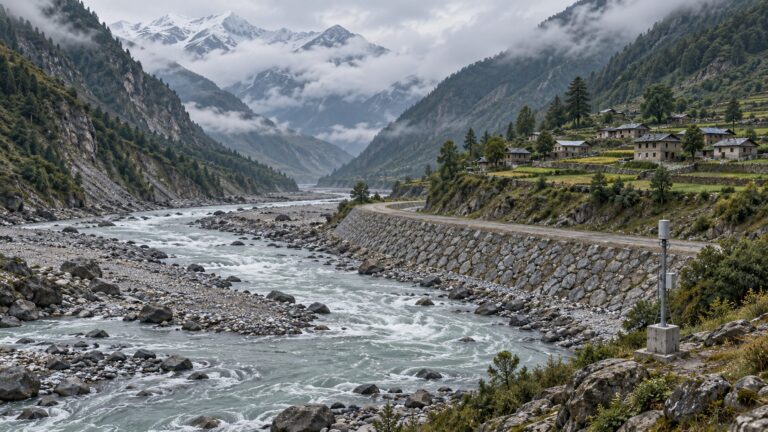
- Geography: Himalayan terrain, altitude, road corridors, weather exposure and route vulnerability in Jammu and Kashmir.
Essay
- Faith and security show how public administration must protect both liberty and life in fragile spaces.
- Pilgrimage governance offers a useful lens on how India manages mobility, risk and diversity at scale.
Background and Context
What Changed for Pilgrims
The immediate change is tighter control over when pilgrims enter Jammu and how they move after entering the Union Territory.
- Lakhanpur timing is the first control point: pilgrims reaching between 6 am and 8 am move onward under escort, while later arrivals halt.
- Security escort converts private or scattered movement into monitored group movement, reducing exposure on sensitive stretches.
- Route restriction keeps Yatra traffic on NH-44 and blocks alternate corridors such as the Udhampur-Dhar road and Mughal Road for pilgrim movement.
- Mini-convoys between Udhampur and Banihal are to operate on a fixed schedule, according to the Indian Express report.
- Night-movement ban reduces risks linked to low visibility, difficult terrain, ambush vulnerability and emergency response delays.
Why the Security Posture Tightened
The Yatra sits at the overlap of public order, cross-border risk and mass-mobility management.
- April 22, 2025 Pahalgam attack remains a live security reference point because tourists were targeted in a high-sensitivity region.
- Cross-border infiltration concerns, reported by Indian Express through security sources, add pressure on highway and border-adjacent route management.
- International Border proximity matters because the Lakhanpur-Jammu stretch runs near the border-linked belt while feeding traffic toward Jammu city.
- Additional checkpoints near link roads joining the highway help screen movement from border-side approaches.
- Visible convoy control also reassures pilgrims and reduces panic, which is important during a crowded religious event.
Official Yatra Frame
The official frame gives students the durable facts that can be asked in Prelims and used in Mains answers.
- Shri Amarnathji Yatra 2026 is scheduled from 3 July to 28 August 2026, making it a 57-day pilgrimage.
- Shri Amarnathji Shrine Board manages the Yatra, pilgrim facilities and related administrative arrangements.
- Government Order No. 321-HOME of 2026, cited by the Shrine Board, declared both Pahalgam and Baltal axes a No Flying Zone from 1 July till completion.
- Helicopter services for pilgrim travel are unavailable in the Yatra area during SANJY 2026 because of the no-flying-zone order.
- Registered yatris must collect their RFID cards from designated counters in Jammu or Kashmir before starting the Yatra.
Route Geography
Route geography matters because every security and disaster-management decision depends on terrain, distance and chokepoints.
- Pahalgam axis is the traditional route through the Kashmir Valley side; Indian Express reports it as about 48 km to the cave.
- Baltal axis is shorter but steeper; the Shrine Board route page says Holy Cave is about 14 km from Baltal.
- Jammu to Baltal road movement follows the Jammu-Udhampur-Ramban-Banihal-Anantnag-Srinagar-Sonamarg-Baltal corridor, according to the Shrine Board route description.
- Jammu to Pahalgam is listed by the Shrine Board as about 315 km, while Jammu to Baltal is about 400 km.
- Mountain corridors create chokepoints where traffic discipline, weather warnings and medical evacuation plans become security tools.
High-Altitude Disaster Management
The Yatra is also a disaster-management case because the risk is not only terrorism; terrain and altitude can also kill.
- Shrine Board health advisory says the pilgrimage involves trekking at altitudes as high as 14,000 ft.
- High Altitude Sickness can include nausea, fatigue, dizziness, breathing difficulty, poor coordination and altered mental status.
- Medical posts every few kilometres, rest points, oxygen support and evacuation channels are part of the safety chain.
- Compulsory Health Certificate screens pilgrims before the journey, but health status can change after certification.
- Weather disruptions, landslides, cold stress and dehydration can quickly turn crowd movement into a rescue problem.
Crowd and Camp Logistics
Security plans work only when accommodation, food, sanitation, health and transport systems are synchronized.
- 55,000-pilgrim accommodation between Lakhanpur and Banihal is a buffer against late arrivals, weather holds and convoy delays.
- Base camps such as Bhagwati Nagar, Pahalgam and Baltal act as sorting points for route choice, documentation and convoy movement.
- Langars and civil society facilities reduce pressure on state capacity but need health, sanitation and crowd-flow oversight.
- Traffic cut-off timings prevent uncontrolled spillover into night travel and help keep convoys within police-monitored windows.
- RFID tracking supports accountability, missing-person response and crowd estimation without relying only on manual registers.
UPSC Link: Security Plus Governance
For UPSC, the topic should not be reduced to a pilgrimage news item; it is a compact case study in risk governance.
- Internal security connects this issue with internal security for UPSC, border management, intelligence and public-order policing.
- Disaster preparedness connects the Yatra with disaster management, especially evacuation, medical triage and crowd planning.
- Geography connects the topic with Himalayan terrain, altitude, road corridors and climate-linked hazards.
- Current affairs preparation should file it under current affairs, but answer it through the durable syllabus of GS3 and GS2.
- Exam takeaway: a good answer balances security restrictions with service delivery, pilgrim dignity and transparent communication.
Way Forward
Keep Convoy Rules Clear
- One official communication channel should publish daily timings, route holds, weather alerts and convoy instructions in simple language.
- Cut-off timings must be displayed at Lakhanpur, Jammu base camp, transit camps and registration counters to reduce confusion.
Integrate Security and Health
- Joint control rooms should combine police, traffic, health, disaster-response and Shrine Board data for real-time decisions.
- RFID dashboards should be used for crowd estimation, missing-person response and route-level pressure alerts.
Prepare for Chokepoints
- Buffer shelters between Lakhanpur and Banihal should have food, sanitation, first aid, women-friendly facilities and information desks.
- Weather-linked halt protocols should be pre-announced so pilgrims treat halts as safety measures, not administrative delay.
Protect Trust
- Security restrictions should be explained with reasons, review windows and grievance channels.
- Community volunteers and langar organisers should be trained in crowd flow, health referral and misinformation control.
Conclusion
The Amarnath Yatra security story is a useful GS3 case because the state is not only guarding a route; it is managing a moving, high-altitude, high-emotion public event in a sensitive region.
For exam answers, the balanced view is simple: stricter convoy and route controls are justified when risks are credible, but they must be paired with health care, shelter, sanitation, clear communication and respect for pilgrim dignity.
UPSC Practice Questions
Prelims MCQ 1
With reference to Shri Amarnathji Yatra 2026, consider the following statements:
- The Shrine Board says the Yatra is scheduled from 3 July 2026 to 28 August 2026.
- Official notice places both Pahalgam and Baltal axes under a No Flying Zone from 1 July 2026 till Yatra completion.
- Registered yatris are required to collect RFID cards from designated counters before embarking on the Yatra.
How many of the above statements are correct?
(a) Only one (b) Only two (c) All three (d) None
Answer: (c) All three
Explanation:
All three statements match the Shri Amarnathji Shrine Board notices on Yatra dates, no-flying-zone coverage and mandatory RFID collection.
Prelims MCQ 2
Which route-related statement about the Amarnath Yatra is correct?
(a) The Baltal route is longer but flatter than the Pahalgam route. (b) Pilgrims may use Mughal Road as an unrestricted alternate route in 2026. (c) The Shrine Board route page says the Holy Cave is about 14 km from Baltal. (d) NH-44 has been excluded from regulated pilgrim movement.
Answer: (c) The Shrine Board route page says the Holy Cave is about 14 km from Baltal.
Explanation:
The Baltal route is shorter and steeper, and the Shrine Board route page places the Holy Cave about 14 km from Baltal. The 2026 security protocol keeps movement on NH-44 and does not allow alternate routes such as Mughal Road.
UPSC Mains Questions
- Amarnath Yatra security is a test of internal security, crowd control and high-altitude disaster management. Discuss how convoy protocols, RFID tracking and route restrictions can reduce risk without weakening pilgrim dignity.
- Religious pilgrimages in sensitive border regions require a balance between freedom of movement and public order. Examine this balance with reference to the 2026 Amarnath Yatra protocols.
- The Amarnath Yatra shows why disaster management cannot be separated from geography. Explain with reference to Himalayan terrain, altitude sickness, weather disruptions and road-corridor chokepoints.
Sources: Shri Amarnathji Shrine Board and Indian Express.
Frequently Asked Questions
What changed for Amarnath pilgrims?
Pilgrims entering from Lakhanpur face stricter timing and convoy rules. Indian Express reported that only those reaching between 6 am and 8 am move onward under escort. Later arrivals halt there, and onward movement is restricted to designated convoys and the NH-44 corridor.
When is Amarnath Yatra 2026?
The Shri Amarnathji Shrine Board says the Yatra will begin on 3 July 2026 and conclude on 28 August 2026. That makes it a 57-day pilgrimage across the Pahalgam and Baltal axes in Jammu and Kashmir.
Why is Lakhanpur important?
Lakhanpur is the entry point into Jammu and Kashmir from the Punjab side for many road-based pilgrims. It has become a key security filter because pilgrims can be screened, timed and grouped before they move toward Jammu and later toward Kashmir Valley base camps.
What is the No Flying Zone?
The Shrine Board cites Government Order No. 321-HOME of 2026, which declares both the Pahalgam and Baltal axes a No Flying Zone from 1 July 2026 till Yatra completion. Helicopter services for pilgrim travel are unavailable during SANJY 2026.
How does this relate to disaster management?
The Yatra involves trekking at altitudes up to 14,000 ft, according to the Shrine Board health advisory. Risks include altitude sickness, weather disruption, dehydration, landslides, crowd pressure and evacuation delays. Security planning must work with medical, shelter and traffic planning.
What should UPSC aspirants remember?
Remember the topic as a GS3 Internal Security case with disaster-management and geography links. The key terms are convoy movement, NH-44, RFID cards, No Flying Zone, Pahalgam route, Baltal route, high-altitude sickness and Centre-UT coordination.
Tell Google you want more of this.
Add Anantam IAS as a preferred sourceOne tap, and this site shows up more often in your own Top Stories, AI Overviews and AI Mode. Remove it any time.