Why in News?
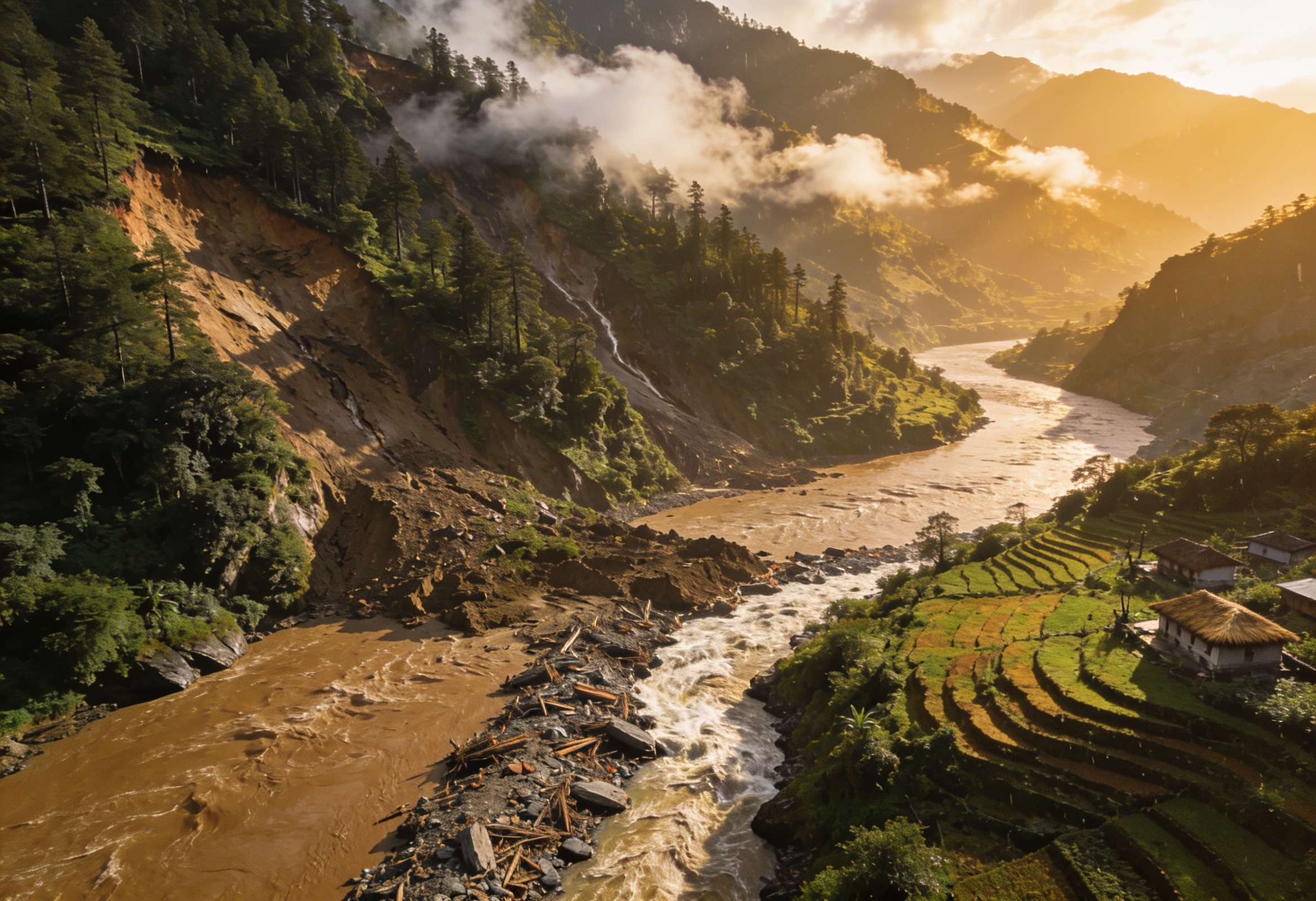
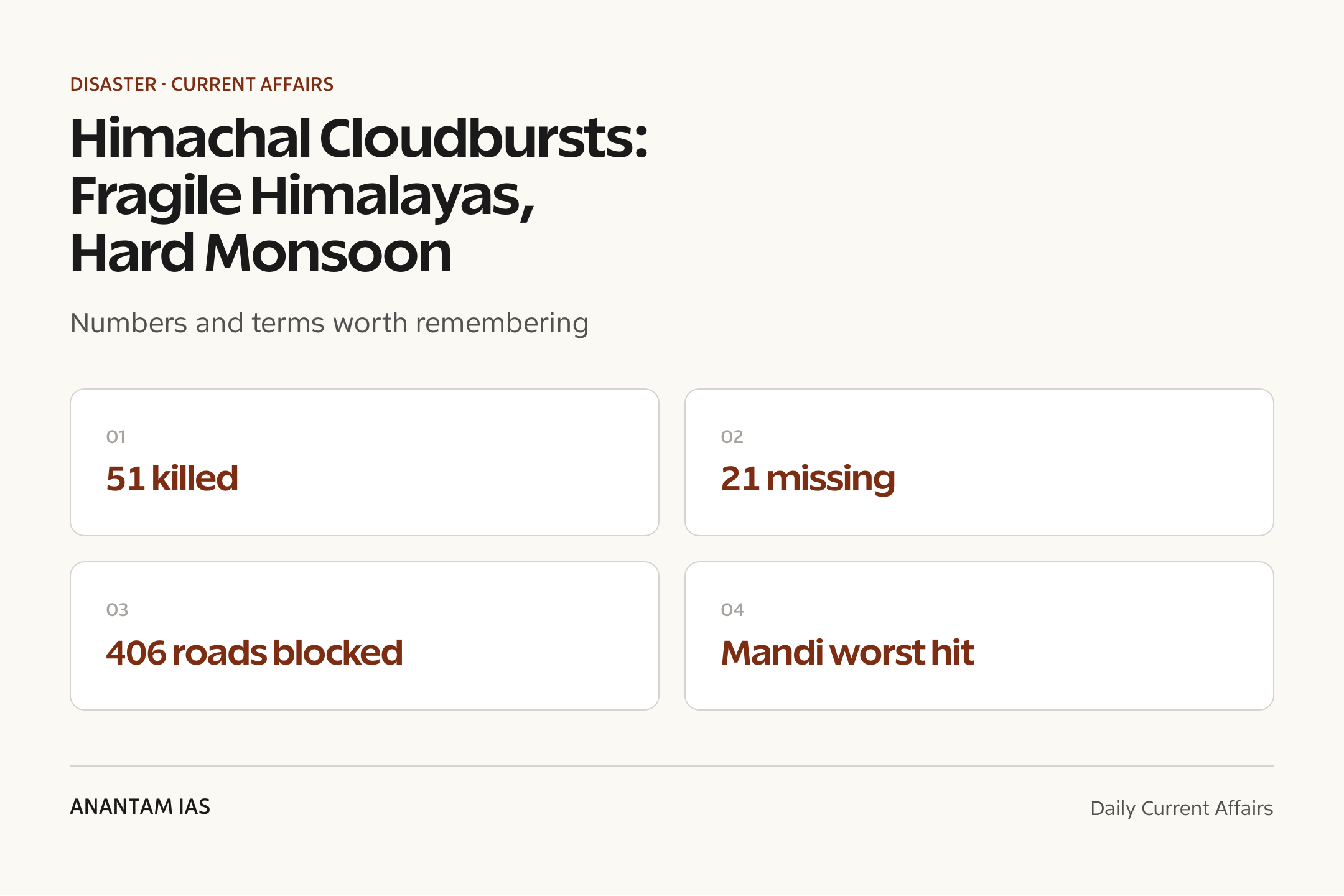
In the first days of July 2025, a burst of intense monsoon rain triggered multiple cloudbursts, flash floods and landslides across Himachal Pradesh, with Mandi district the worst hit. The state government reported 51 people killed and 21 missing in rain-related incidents, with over 100 injured.
The disaster blocked hundreds of roads, including stretches of the Chandigarh-Shimla route, and crippled power and water supply. It came on the heels of one of the earliest monsoon onsets in years, sharpening attention on Himalayan cloudburst dynamics, slope instability and the country’s disaster-response architecture under the NDMA.
- 51 people killed and 21 missing in rain-related incidents across the state, per official figures.
- Over 100 people injured in the cloudburst, flood and landslide events.
- Mandi district bore the brunt — about 5 deaths and 15 missing, with 24 houses and 12 cowsheds damaged.
- Around 406 roads were blocked statewide by landslides and debris, hitting the Chandigarh-Shimla corridor.
- 1,515 electricity transformers and 171 water-supply schemes were knocked out.
- NDRF, SDRF and district administration teams were deployed for relief and rescue.
The development matters in the context of:
- Matters because the Himalaya is the world’s youngest, most fragile fold mountain — steep, seismically active and intensely rain-fed in the monsoon.
- Tests the Disaster Management Act, 2005 machinery — the NDMA-SDMA-DDMA chain — at the local, frontline level.
UPSC Relevance
Prelims Relevance
- A cloudburst is defined by the India Meteorological Department (IMD) as rainfall of more than 100 mm in one hour over a small area (roughly 20-30 sq km).
- Mandi, Kullu and Shimla lie in the rain-prone middle and lower Himalayan belt of Himachal Pradesh.
- The Beas and Sutlej are the principal rivers draining Himachal Pradesh.
- The National Disaster Management Authority (NDMA) is chaired by the Prime Minister under the Disaster Management Act, 2005.
- State Disaster Management Authorities (SDMAs) are chaired by the respective Chief Minister; DDMAs by the District Collector/Magistrate.
- The National Disaster Response Force (NDRF) is the specialised force under the NDMA; states raise their own SDRF.
- A flash flood is a sudden, short-lived high-discharge flood, typically within hours of intense rain in a small catchment.
- A GLOF (Glacial Lake Outburst Flood) is the sudden release of water from a glacial lake when its moraine or ice dam fails.
- The southwest monsoon normally reaches Kerala around 1 June and covers all of India by about 8 July.
- Himachal Pradesh attained statehood in 1971; its capital is Shimla.
Mains Relevance
GS Paper 1
- Important geophysical phenomena and physical geography — cloudbursts, the fragility of the young fold Himalaya and monsoon dynamics.
- Changes in critical geographical features and the effects of extreme rainfall events on mountain ecology and settlements.
GS Paper 3
- Disaster and disaster management — the NDMA-SDMA-DDMA structure, early-warning gaps and mountain-state preparedness.
- Conservation and environment — unplanned construction, slope cutting, deforestation and hydropower in seismically active terrain.
Essay
- Living with the Himalaya: development on a mountain that will not stand still.
- When the rain comes faster than the warning.
Background and Context
What happened in early July 2025
A concentrated spell of monsoon rain overwhelmed Himachal’s steep catchments within days.
- Multiple cloudbursts, flash floods and landslides struck across the state in the first days of July 2025.
- Mandi district was the epicentre of the worst damage, with several pockets cut off.
- Official figures put the toll at 51 dead, 21 missing and over 100 injured in rain-related incidents.
- In Mandi alone, about 5 people died and 15 went missing, with 24 houses and 12 cowsheds destroyed.
- Rescue ran on multiple fronts as the IMD warned of further heavy rain across most of the state.
What a cloudburst actually is
A cloudburst is a precise meteorological event, not just heavy rain.
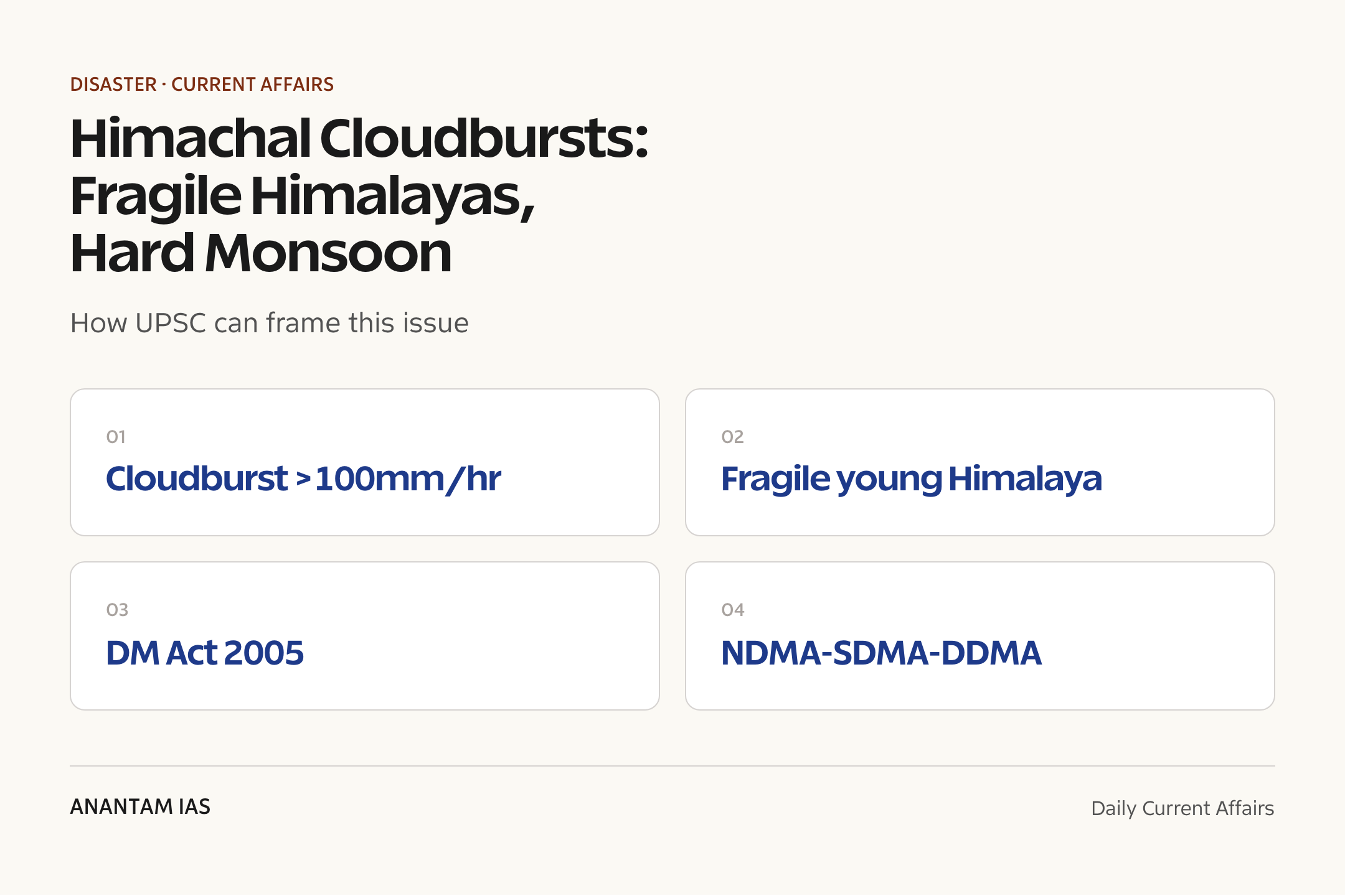
- The IMD defines a cloudburst as rainfall exceeding 100 mm in a single hour over a small area of about 20-30 sq km.
- It forms when warm, moisture-laden air is forced rapidly upward against steep slopes — orographic lift — and dumps its load in minutes.
- On bare, steep Himalayan slopes the water cannot infiltrate; it sheets downhill as a flash flood, carrying boulders and debris.
- Cloudbursts are highly localised and short-lived, which makes them very hard to forecast at the village scale.
- They sit alongside landslides and GLOFs as the signature wet-season hazards of the high mountains.
Why the Himalaya is so fragile
Geology, seismicity and slope all stack the odds against the mountains.
- The Himalaya is a young fold mountain, still rising as the Indian plate pushes north — its rock is fractured and loosely consolidated.
- The region falls in high seismic zones (IV and V), so slopes are already weakened by frequent earthquakes.
- Steep gradients mean rainfall converts quickly into high-energy run-off and debris flows.
- Deforestation, road-cutting and hill-side construction strip the natural slope-binding cover.
- A warming climate is loading the atmosphere with more moisture, raising the odds of extreme short-duration rain.
An early, intense monsoon
The 2025 monsoon arrived unusually early, front-loading the rain.
- The IMD recorded one of the earliest southwest monsoon onsets over Kerala in years, on 24 May 2025.
- The monsoon covered the entire country well ahead of the normal 8 July date, by the end of June.
- An early, vigorous monsoon means saturated soils and primed slopes by early July — little buffer left to absorb a cloudburst.
- Concentrated, high-intensity spells, rather than steady rain, are the dangerous pattern for mountain disasters.
- Himachal’s Beas and Sutlej catchments swelled fast, amplifying downstream flash flooding.
The disaster-governance architecture
India’s response runs through a three-tier structure created by law.
- The Disaster Management Act, 2005 set up the NDMA at the apex, chaired by the Prime Minister.
- Each state has an SDMA under the Chief Minister; each district a DDMA under the Collector.
- The NDRF is the dedicated rescue force; states deploy their own SDRF alongside it.
- In this event, NDRF, SDRF and district teams led search, rescue and road clearance.
- The IMD issues colour-coded rainfall warnings that feed the response chain, though cloudburst-scale forecasting remains weak.
The deeper development question
Each Himalayan disaster reopens a debate about how the hills are being built up.
- Rapid tourism, hydropower and highway expansion have crowded fragile valleys and riverbeds.
- Construction on floodplains and active landslide zones puts settlements directly in harm’s way.
- Hill-cutting for roads destabilises slopes that then fail in heavy rain.
- Experts have repeatedly urged stricter carrying-capacity limits and slope-sensitive planning for the western Himalaya.
- The recurring losses point to a gap between disaster response and disaster risk reduction.
Way Forward
Sharpen early warning
- Densify automatic weather stations, Doppler radar and stream gauges in cloudburst-prone Himalayan catchments.
- Build village-level last-mile alerts for flash floods and landslides, since cloudbursts strike within minutes.
Build risk into planning
- Enforce carrying-capacity and zoning rules that keep construction off floodplains and active slide zones.
- Mandate slope-stability and drainage standards for hill roads and hydropower projects.
Protect the slopes
- Halt unscientific hill-cutting and restore vegetation that binds the soil.
- Strengthen the DDMA at district level so risk reduction, not just rescue, becomes routine.
Conclusion
The early-July 2025 cloudbursts in Himachal Pradesh, with 51 dead, 21 missing and over 400 roads cut, are a reminder that the Himalaya is a young, restless mountain where intense monsoon rain meets fragile slopes. The toll was concentrated in Mandi, but the underlying hazard runs the length of the state.
India’s disaster machinery, built on the Disaster Management Act, 2005, performed the rescue. The harder task is upstream: better cloudburst forecasting, slope-sensitive development and carrying-capacity limits, so that the next vigorous monsoon does not again turn a known hazard into an avoidable disaster.
UPSC Practice Questions
Prelims MCQ 1
With reference to a cloudburst, consider the following statements:
- The India Meteorological Department defines it as rainfall exceeding 100 mm in one hour over a small area.
- It is typically caused by the rapid uplift of moisture-laden air against steep terrain.
- Cloudbursts are widespread events that are easy to forecast days in advance.
How many of the above statements are correct?
(a) Only one (b) Only two (c) All three (d) None
Answer: (b) Only two
Explanation:
Statements 1 and 2 are correct: the IMD threshold is rainfall above 100 mm/hour over a small area, usually from orographic uplift. Statement 3 is wrong — cloudbursts are highly localised and short-lived, which makes them very hard to forecast at the village scale.
Prelims MCQ 2
Under the Disaster Management Act, 2005, which of the following is correctly matched?
(a) NDMA — chaired by the Prime Minister (b) SDMA — chaired by the Governor (c) DDMA — chaired by the Chief Secretary (d) NDRF — a force under the Ministry of Defence
Answer: (a) NDMA — chaired by the Prime Minister
Explanation:
The NDMA is chaired by the Prime Minister. The SDMA is chaired by the Chief Minister (not the Governor), the DDMA by the District Collector/Magistrate, and the NDRF functions under the NDMA, not the Ministry of Defence.
UPSC Mains Questions
- Cloudbursts and flash floods are becoming recurrent in the western Himalaya. Examine the physical and human factors that make Himachal Pradesh vulnerable, and suggest measures to reduce disaster risk rather than merely respond to it.
- Discuss the three-tier institutional structure created by the Disaster Management Act, 2005. Using a recent Himalayan disaster, assess where India’s disaster governance is strong and where it falls short.
Sources: News Services Division, All India Radio (NewsOnAir) and HP State Disaster Management Authority.
Frequently Asked Questions
What is a cloudburst?
A cloudburst is an extreme, highly localised rainfall event. The India Meteorological Department defines it as rainfall of more than 100 mm in a single hour over a small area of about 20-30 square kilometres. It usually forms when moisture-laden air is forced rapidly upward against steep slopes, dumping its water in minutes and triggering flash floods.
What happened in Himachal Pradesh in early July 2025?
In the first days of July 2025, multiple cloudbursts, flash floods and landslides struck Himachal Pradesh, with Mandi district worst hit. Official figures reported 51 people killed and 21 missing, over 100 injured, and around 406 roads blocked statewide, including parts of the Chandigarh-Shimla route. NDRF and SDRF teams ran the rescue.
Why is the Himalaya so prone to such disasters?
The Himalaya is a young, still-rising fold mountain with fractured rock, steep slopes and high seismicity. Intense monsoon rain on saturated, bare slopes runs off quickly as flash floods and debris flows. Deforestation, hill-cutting for roads and construction on floodplains add human stress, while a warming climate raises the odds of extreme short-duration rain.
How is a cloudburst different from a GLOF or a landslide?
A cloudburst is a sudden, intense rainfall event. A flash flood is the fast, high-discharge flooding it can cause. A GLOF, or Glacial Lake Outburst Flood, is the sudden release of water from a glacial lake when its dam fails. A landslide is the downslope movement of rock and soil. Heavy rain can trigger all of these together.
What is the NDMA and how does disaster response work?
The National Disaster Management Authority (NDMA), chaired by the Prime Minister, sits at the apex of a structure created by the Disaster Management Act, 2005. Each state has a State Disaster Management Authority under the Chief Minister and each district a District Disaster Management Authority under the Collector. The National and State Disaster Response Forces carry out rescue.
Did the 2025 monsoon arrive early?
Yes. The India Meteorological Department recorded one of the earliest southwest monsoon onsets over Kerala in years, on 24 May 2025, and the monsoon covered the whole country by the end of June, well ahead of the normal 8 July date. An early, vigorous monsoon left slopes saturated and primed by the time the early-July cloudbursts struck.
Tell Google you want more of this.
Add Anantam IAS as a preferred sourceOne tap, and this site shows up more often in your own Top Stories, AI Overviews and AI Mode. Remove it any time.