
Why in News?
The Indian Express reported on 24 October 2026 that ISRO plans to launch NVS-03 on 30 October to replenish NavIC, whose standalone positioning capability has been impaired.
- The launch date is a reported plan; NVS-03 has not been described here as launched, commissioned or operational.
- The report cites a parliamentary response stating that standalone positioning was unavailable, while timing service remained functional.
- The proposed replenishment matters because a basic independent position fix normally requires four usable satellite signals.
- Positioning, navigation and timing support different applications; losing one capability does not necessarily mean every satellite service has stopped.
- Strategic autonomy requires usable signals, functioning receivers and sustained maintenance, alongside ownership of the satellite constellation.
UPSC Relevance
Prelims Relevance
- NavIC: Navigation with Indian Constellation, formerly IRNSS.
- Standard Position Service for civilians; Restricted Service for strategic users.
- Satellite clock stability and receiver clock error.
- Geostationary and inclined geosynchronous orbits.
- L1, L5 and S-band navigation signals.
Mains Relevance
GS Paper 3
- Space infrastructure reliability and indigenous technological capability.
- Interoperability, receiver adoption and continuity of essential positioning services.
Essay
- Technological independence depends on dependable public services, not hardware ownership alone.
Background and Context
What NavIC Is Designed to Provide
NavIC is a regional positioning, navigation and timing system whose usefulness depends on the complete chain from satellites to receivers.
- ISRO operates NavIC, previously called IRNSS, for regional navigation needs. Its official service description identifies transportation, surveying, resource monitoring and time synchronisation as applications, connecting space infrastructure with routine economic activity.
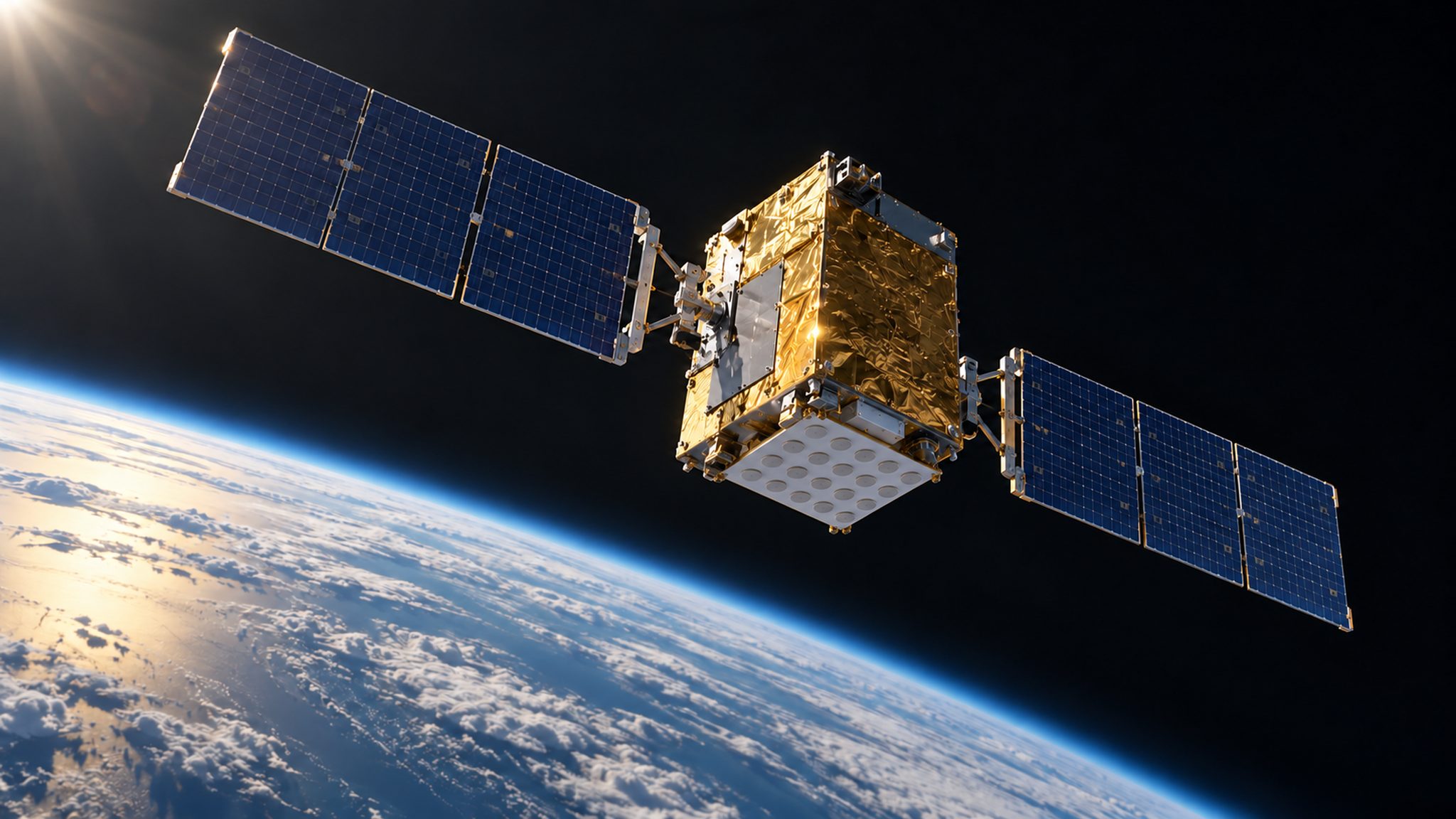
- The design constellation combines geostationary satellites with inclined geosynchronous satellites. This describes the intended architecture; it must not be read as a statement that every designed satellite is currently available for positioning.
- Standard Position Service serves civilian users, while Restricted Service is intended for strategic users. Restricted access should not be confused with an ordinary paid public subscription offering better accuracy to anyone who buys it.
- Regional coverage means a defined service area centred on India. GPS offers global coverage; the distinction concerns geographical service design, rather than establishing that a regional system is inherently less useful within its intended area.
- Ground stations monitor and support the space segment, while compatible receivers make broadcasts useful to end users. A spacecraft in orbit is only one component of a working navigation service, not its complete delivery chain.
Why Positioning Requires Precise Time
A receiver estimates its position from timed broadcasts; it does not send a location request to each navigation satellite.
- One-way broadcasts carry timing and orbital information from satellites to receivers. The receiver processes these signals locally, so ordinary satellite navigation does not measure a round trip between the user and the spacecraft.
- Travel time provides an estimate of distance because radio signals propagate at a known speed. Small timing errors can distort the estimated range, which explains why stable clocks are central to satellite navigation.
- Atomic clocks provide a stable satellite time reference. This is different from the receiver’s own clock error: even healthy spacecraft cannot make an inexpensive receiver clock perfectly synchronised without accounting for that difference.
- Four unknowns normally need solving: three position coordinates and the receiver clock offset. Four usable satellite measurements allow the receiver to estimate these together, instead of requiring an atomic clock inside every receiving device.
- The FAA explanation also identifies atmospheric propagation delays as corrections in positioning. Reaching the minimum signal count enables a solution; it does not remove every error or guarantee identical performance in all surroundings.
Why Replenishment Is More Than a Launch
The policy question is whether replacement capacity becomes a reliable service, not merely whether a launch vehicle lifts off successfully.
- NVS-03 is a planned replenishment mission in the current news report. Its expected contribution must remain conditional until launch, orbital placement and payload operation are established; an anticipated recovery is not a demonstrated recovery.
- Clock failure can make a satellite unsuitable for precise positioning even if the spacecraft remains in orbit. Satellite counts alone obscure this distinction between physical presence and a usable navigation signal at the receiver.
- Timing and positioning are distinct services. The parliamentary statement quoted by the Indian Express reports continuing timing capability despite unavailable standalone positioning; avoid expanding that account into a claim of total system shutdown.
- L1 civilian signals supplement NavIC’s existing L5 and S-band provision in its newer satellites. ISRO describes interoperability with other navigation systems; this improves the basis for compatible receiver development without automatically upgrading existing devices.
- Interoperability and independence answer different questions: a receiver may combine navigation systems, while standalone NavIC positioning depends on NavIC’s own usable signals. Multi-system support cannot by itself prove that independent service has been restored.
Way Forward
Measure Service Readiness
- Publish clear service-status information distinguishing spacecraft health, usable signals, timing availability and standalone positioning.
- Plan replacement capacity before ageing satellites or clock failures leave the constellation close to its operating threshold.
- Align receiver compatibility with new signals and validate end-to-end performance before describing replenishment as restored service.
Conclusion
- NavIC reliability rests on stable satellite clocks, enough usable signals and compatible receiving equipment. The four-signal requirement reflects the need to solve position and receiver time together, rather than a rule about launch numbers.
- For an answer on space-based strategic autonomy, distinguish ownership, interoperability and service availability. The planned NVS-03 launch is relevant evidence of replenishment efforts, while operational restoration still requires confirmation after successful mission milestones.
UPSC Practice Questions
Prelims MCQ 1
With reference to satellite navigation, consider the following statements:
- An ordinary navigation receiver measures a round-trip signal sent to and returned by each satellite.
- A basic three-dimensional position solution normally also estimates the receiver clock offset.
- Atomic clock stability is important because timing errors affect estimated ranges.
How many of the above statements are correct?
(a) Only one (b) Only two (c) All three (d) None
Answer: (b) Only two
Explanation:
Statements 2 and 3 are correct. Ordinary navigation uses one-way satellite broadcasts; the receiver estimates three position coordinates and its clock offset from usable signals.
Prelims MCQ 2
Which statement correctly describes NavIC?
(a) Its Restricted Service is a paid subscription available to every civilian. (b) Its timing service must stop whenever standalone positioning becomes unavailable. (c) Its Standard Position Service is intended for civilian users. (d) A planned replacement launch establishes that its positioning service has already been restored.
Answer: (c) Its Standard Position Service is intended for civilian users.
Explanation:
ISRO identifies civilian Standard Position Service and strategic Restricted Service. Timing and standalone positioning are distinct capabilities, and a planned launch does not establish restoration.
UPSC Mains Questions
- Explain why precise timing and sufficient usable satellite signals are essential for independent navigation. How does this inform assessment of NavIC replenishment?
- Discuss how India can combine indigenous satellite navigation capability with interoperability while maintaining reliable services for civilian users.
Sources: ISRO and Indian Express Explained.
Frequently Asked Questions
What is NavIC?
NavIC is ISRO’s regional satellite navigation system, formerly called IRNSS. It supports positioning, navigation and timing applications through satellites, ground infrastructure and compatible receivers, with separate civilian and strategic services.
Why are four satellite signals normally needed?
The receiver normally solves four unknowns together: three position coordinates and its clock offset. Four usable satellite measurements allow that calculation without requiring the receiver to carry a synchronised atomic clock.
Does satellite navigation require a return signal from the user?
Ordinary satellite positioning uses one-way broadcasts carrying timing and orbital information. The receiver processes them to estimate its position; it does not measure a signal sent to and returned by each navigation satellite.
Has NVS-03 already restored NavIC positioning?
No restoration is established by the report discussed here. The Indian Express reported a planned launch on 30 October 2026; successful launch, orbital placement and service readiness would still need confirmation.
What does L1 add to NavIC?
ISRO describes L1 as an additional civilian signal alongside L5 and S-band signals in newer NavIC satellites. Its interoperability supports compatible receiver development, but does not automatically make older equipment capable of receiving it.
Tell Google you want more of this.
Add Anantam IAS as a preferred sourceOne tap, and this site shows up more often in your own Top Stories, AI Overviews and AI Mode. Remove it any time.