Disclosure: this guide contains Amazon affiliate links. As an Amazon Associate, Anantam IAS earns from qualifying purchases — at no extra cost to you.
The Kosi River is one of those Indian geography topics that looks small until UPSC wraps it with a dam, a dispute, a flood, a treaty or a map question. It belongs to the Ganga river system, and the cleanest way to study it is to lock three things first: origin, course and confluence or mouth.
For exam prep, I would not read the Kosi River as a loose fact list. Read it as a working river system. That means source, states, tributaries, basin use, projects, ecological stress and the one map clue that makes the answer stick.
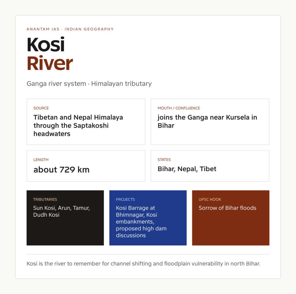
Kosi River: quick facts
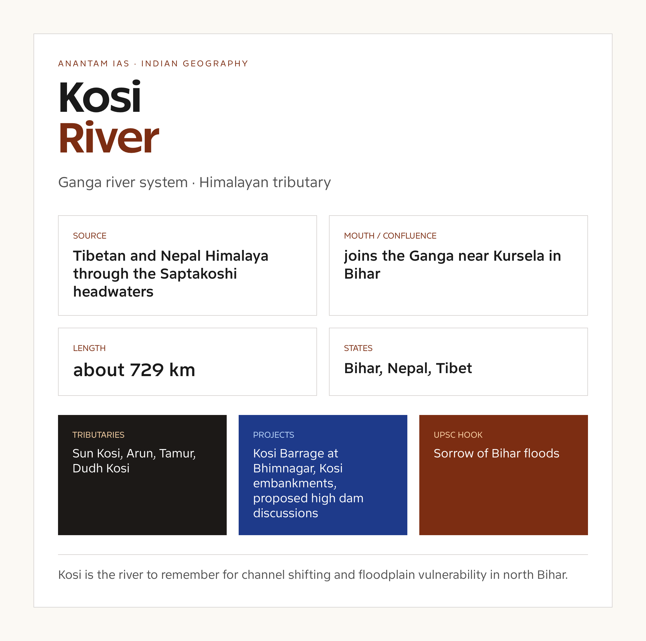
| River system | Ganga river system |
| River type | Himalayan tributary |
| Approximate length | about 729 km |
| Basin | Ganga basin |
| Source | Tibetan and Nepal Himalaya through the Saptakoshi headwaters |
| Mouth or confluence | joins the Ganga near Kursela in Bihar |
| States and regions | Bihar, Nepal, Tibet |
| Major tributaries | Sun Kosi, Arun, Tamur, Dudh Kosi, Tama Kosi, Likhu, Indravati of Nepal |
| Important projects | Kosi Barrage at Bhimnagar, Kosi embankments, proposed high dam discussions |
Keep these as working figures. River length, basin area and tributary lists can vary a little between school atlases, state water resources departments and basin reports because each source uses a different mapping scale. For UPSC, the reliable move is to remember the broad drainage logic and use approximate figures only where the question asks for them.
Kosi River origin and course
The Kosi River origin is usually the first fact examiners test. The river starts from Tibetan and Nepal Himalaya through the Saptakoshi headwaters. From there, it moves through Bihar, Nepal, Tibet before it finally reaches joins the Ganga near Kursela in Bihar.
This course matters because the Kosi River is not just a blue line on the map. It connects relief, rainfall, land use, settlement and administrative boundaries. In prelims, this becomes a source-to-mouth sequence. In mains, it becomes a basin-management question.
A good map answer should mark the source region, the main states, one or two major tributaries and the mouth or confluence. That is usually enough to make the Kosi River map readable without overloading it.
Kosi River basin and drainage pattern
The Kosi River basin belongs to the wider Ganga river system. Its basin character explains why the river behaves the way it does: Himalayan rivers carry large sediment and snow-rain inputs, while peninsular rivers are more seasonal, plateau-controlled and monsoon-dependent.
In this case, the river is best understood as a Himalayan tributary. That label tells you what to expect in a map question: whether the river drains toward the Bay of Bengal, the Arabian Sea, the Ganga, the Indus, the Brahmaputra or an inland arid basin.
If you are revising drainage patterns, connect this page with drainage patterns and the broader River Systems of India page. Those two pages give the framework; this page gives the river-specific memory.
Kosi River tributaries
The most important Kosi River tributaries and connected streams include Sun Kosi, Arun, Tamur, Dudh Kosi, Tama Kosi, Likhu, Indravati of Nepal. You do not need to memorise every small seasonal stream. You do need the tributaries that explain the basin, projects and disputes.
- Map logic: place the Kosi River in the correct river system first.
- Tributary logic: remember the largest or most frequently mentioned tributaries: Sun Kosi, Arun, Tamur, Dudh Kosi.
- Project logic: connect the river with Kosi Barrage at Bhimnagar, Kosi embankments, proposed high dam discussions.
- Issue logic: connect the basin with Sorrow of Bihar floods, river avulsion, sediment load.
This is the difference between remembering a river and using it in an answer. The Kosi River becomes valuable when you can connect tributaries with dams, floodplains, irrigation and ecological stress.
Projects and water use on the Kosi River
Important projects associated with the Kosi River include Kosi Barrage at Bhimnagar, Kosi embankments, proposed high dam discussions. Some are directly on the river, while others sit in the wider basin or policy debate around the river.
Water use in the basin usually falls into four buckets: irrigation, drinking water, hydropower and ecological flow. The trouble starts when one bucket is treated as the whole story. A river that looks like an engineering asset on paper can also be a floodplain, a wetland support system, a cultural landscape and a livelihood base.
For answer writing, avoid the lazy line that every dam is either a development miracle or an ecological disaster. The better answer asks what the project changes: flow timing, sediment movement, downstream users, forest land, fish movement and dispute risk.
Disputes, floods and environmental issues
The recurring issues around the Kosi River are Sorrow of Bihar floods, river avulsion, sediment load, embankment breach risk. This is where the topic moves from GS I geography into GS II governance and GS III environment or disaster management.
Flood questions need special care. A river flood is not caused by rainfall alone. It is shaped by catchment slope, sediment load, embankments, drainage congestion, wetland loss, reservoir operation, land-use change and the exposure of people living in the floodplain.
If the river has an inter-state or international angle, revise it with inter-state river water disputes and Water Resources of India. If it is mainly a flood or erosion case, pair it with Floods in India and Flood Management in India.
Why the Kosi River matters for UPSC
A standard case for disaster management, river morphology, embankments and India-Nepal cooperation.
The safest UPSC approach is to prepare the Kosi River UPSC notes in four layers. First, learn the map. Second, learn the tributaries. Third, learn one project or dispute. Fourth, learn one environmental concern. That gives you enough material for prelims, mains and interview-level follow-up.
- Prelims: source, states, tributaries, mouth and important dams.
- GS I: drainage, relief, monsoon behaviour and basin geography.
- GS II: treaties, tribunals, institutions and centre-state coordination where relevant.
- GS III: floods, drought, hydropower, ecological flows, biodiversity and disaster management.
- Essay or interview: river as a civilisational, ecological and governance system, not only a water channel.
How to remember the Kosi River
Kosi is the river to remember for channel shifting and floodplain vulnerability in north Bihar.
My preferred memory method is simple: attach the river to one place, one project and one issue. For the Kosi River, the place comes from the course, the project comes from water use, and the issue comes from current affairs or environmental geography.
Then revise it on a blank map. Write Kosi River, add the source, draw the broad direction, mark the mouth or confluence, and add two tributaries. Do that twice and the river becomes much easier to recall than if you only read a paragraph.
Answer writing points
When the Kosi River appears in mains, the demand is rarely just factual. The examiner is usually testing whether you can connect physical geography with governance.
- Use the phrase Ganga river system to anchor the answer.
- Mention the source and mouth in one compact sentence.
- Use one basin-specific issue: Sorrow of Bihar floods.
- Use one project example: Kosi Barrage at Bhimnagar.
- Close with integrated river basin management, ecological flows, floodplain zoning, wetland restoration or cooperative federalism, depending on the question.
A model line could be: The Kosi River shows how a river basin links relief, rainfall, settlements, projects and environmental governance; therefore, management has to move from project-level control to basin-level coordination.
Kosi River map traps and current relevance
Most wrong answers on the Kosi River come from one of three mistakes: placing the source in the wrong hill system, mixing up a tributary with the main river, or treating a project in the wider basin as if it sits exactly on the main channel. Slow down on these three points and the map becomes much cleaner.

Oxford Student Atlas for India — 7th Edition
- 160 pages, Oxford University Press, the current edition
- India-focused thematic maps: physical, political, rivers, climate, soils, vegetation, plus world maps
- Made for UPSC and state PSC map work; slim enough to stay open beside the textbook
The current-affairs value of the Kosi River also changes by basin. In a Himalayan basin, look for floods, landslides, hydropower, treaties and sediment. In a peninsular basin, look for monsoon variability, reservoirs, inter-state allocation, groundwater stress and urban pollution. In a coastal basin, add estuary health, salinity, mangroves and port pressure.
For AEO and quick revision, the short answer is this: Kosi River is important because it connects Ganga river system, Bihar, Nepal, Tibet, Kosi Barrage at Bhimnagar and Sorrow of Bihar floods. If you can say that in one breath, you have the skeleton of a good prelims note and a usable mains paragraph.
Internal reading
Use these published Anantam IAS pages to connect this river with the wider geography syllabus:
- Floods in India
- Flood Management in India
- Ganga River System
- Water Resources of India
- River Systems of India
Kosi River FAQs
Where does the Kosi River originate?
The Kosi River originates at Tibetan and Nepal Himalaya through the Saptakoshi headwaters. For UPSC, remember the source with the river system and the first major state or region it enters.
Where does the Kosi River end?
The Kosi River ultimately reaches or joins joins the Ganga near Kursela in Bihar. This is the mouth or confluence point students should mark on a map.
What are the main tributaries of the Kosi River?
Important tributaries and connected streams include Sun Kosi, Arun, Tamur, Dudh Kosi, Tama Kosi, Likhu. The exact list varies by source scale, so learn the major exam-relevant names first.
Why is the Kosi River important for UPSC?
A standard case for disaster management, river morphology, embankments and India-Nepal cooperation.
Which states are connected with the Kosi River?
The Kosi River is linked with Bihar, Nepal, Tibet. In answer writing, connect the river with its basin, projects, disputes and environmental concerns.
What is the best way to remember the Kosi River?
Kosi is the river to remember for channel shifting and floodplain vulnerability in north Bihar.
Tell Google you want more of this.
Add Anantam IAS as a preferred sourceOne tap, and this site shows up more often in your own Top Stories, AI Overviews and AI Mode. Remove it any time.