

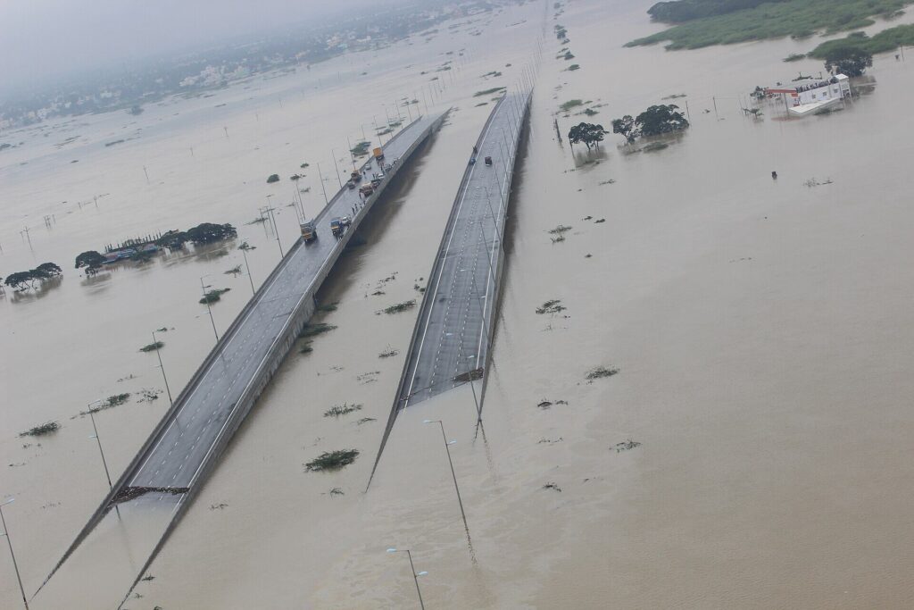
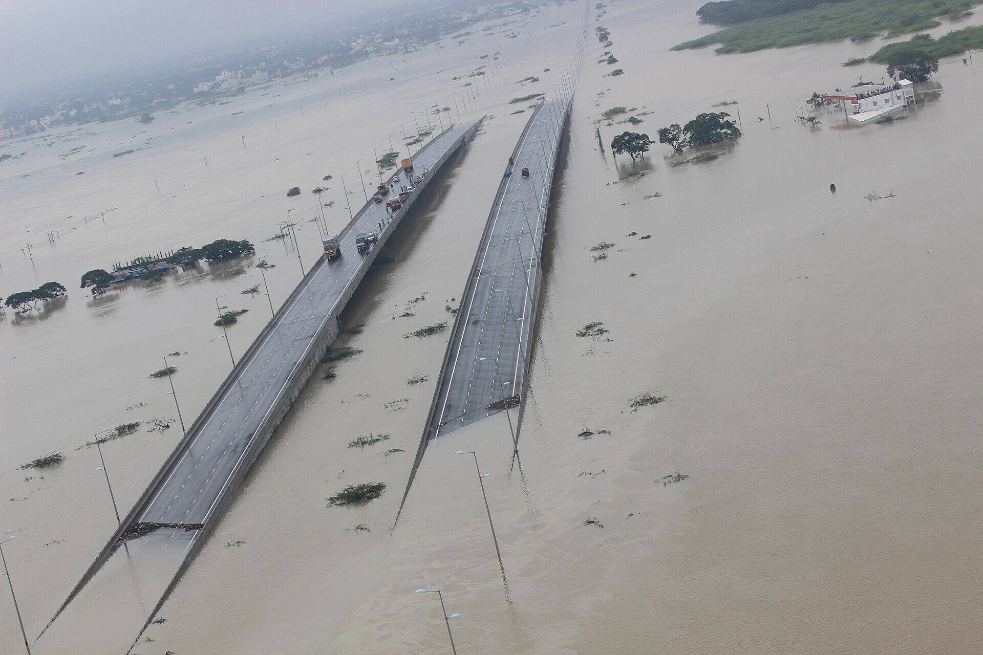
Urban flooding in India is the inundation of cities not by river overflow alone but by the inability of paved, encroached and under-drained surfaces to absorb intense rainfall. It is now a near-annual event in every metropolitan area — Chennai, Mumbai, Bengaluru, Hyderabad, Delhi, Patna, Guwahati — and is treated by the NDMA as a category of disaster distinct from riverine floods. For UPSC, urban flooding in India sits at the intersection of physical geography, climate change, urban governance (GS-II), and disaster management (GS-III).
This article walks through four anchor case studies (Chennai 2015, Mumbai 2005 and 2024, Bengaluru 2022, Hyderabad 2020), unpacks the structural causes — concretisation, encroachment of wetlands and lakes, undersized drains, and climate-intensified rainfall — and lays out India’s institutional response: the NDMA National Guidelines on Management of Urban Flooding (2010), the sponge-city concept, and city-level responses by the BBMP, MCGM and GHMC.
What counts as urban flooding
NDMA’s 2010 guideline distinguishes urban flooding from riverine flooding on four counts:
- Cause: short-duration, high-intensity rainfall rather than upstream river swell.
- Pace: surface runoff peaks within hours, sometimes minutes.
- Geography: confined to built-up areas with hard surfaces.
- Damages: indirect losses (traffic, services, manufacturing, software exports) often exceed direct property damage.
A city is hydrologically a paved catchment: 70–90% of rainfall runs off instead of soaking in. When stormwater drains cannot evacuate that volume to the nearest natural sink, water backs up onto streets and into homes.
Chennai 2015: when a metro drowned
The Chennai floods of November–December 2015 are the textbook case of urban flooding in India.
What happened
- Rainfall: Chennai received about 1,049 mm in November 2015 alone — the wettest November in 100 years. On 1 December, 494 mm fell in 24 hours at the Tambaram station.
- Casualties: Over 500 deaths across Tamil Nadu, around 4 lakh people displaced.
- Economic loss: Estimated at ₹15,000 crore for the state; insurance claims topped ₹4,800 crore.
- Impact zone: The IT corridor along the OMR (Old Mahabalipuram Road), Velachery, Tambaram, and Mudichur.
Why it flooded
- Loss of wetlands: Chennai had 650+ water bodies in the 1980s; fewer than 30 are now functional. The Pallikaranai marsh shrank from 50 km² to about 6 km².
- Encroachment: IT parks, the mass-transit depot, and gated communities sat on filled-up flood plains of the Adyar and Cooum.
- Chembarambakkam release: A delayed and uncoordinated release from the Chembarambakkam reservoir on 1 December surged the Adyar river downstream.
- Drainage: The city’s storm-water network covers only 855 km against a road network of over 2,800 km, and is designed for 1980s rainfall intensities.
Mumbai 2005 and 2024: the recurrent paralysis
26 July 2005
The Maharashtra metropolitan area received 944 mm of rainfall at Santacruz in 24 hours on 26 July 2005 — at the time the eighth-highest 24-hour rainfall ever recorded globally and the heaviest in Mumbai’s history. The floods killed at least 1,094 people, paralysed local trains, and grounded the airport for 30 hours. The Mithi river, narrowed by reclamation for the BKC and the airport runway extension, overflowed into Kurla, Sion, and Andheri.
2024 monsoon
A 26 July 2024 cloudburst-like spell again recorded 300+ mm in six hours over the eastern suburbs, flooding the new coastal-road tunnels and stalling the suburban rail network. The MCGM acknowledged that storm-water pumping stations at Haji Ali, Cleveland Bunder, Britannia, and Irla were still inadequate for the new rainfall intensities, despite the BRIMSTOWAD project initiated after 2005.
Structural fault line
Mumbai’s storm-water network was built by the British for rainfall of about 25 mm/hour. Today’s monsoon delivers 70–100 mm/hour spells. The Mithi river’s natural width has shrunk from 70 m at certain stretches to under 25 m. Tidal locking during high tides aggravates pump-out delays.
Bengaluru 2022: the IT capital under water
The September 2022 Bengaluru floods drew global headlines when CEOs were photographed being ferried out of villas on tractors in the IT belt of Mahadevapura, Bellandur, and Whitefield.
- Rainfall: Bengaluru received over 161 mm in 24 hours on 5 September — its highest single-day September rainfall in 30 years.
- Cumulative: September 2022 logged 370 mm against a normal of 195 mm.
- Economic loss: Estimated at ₹225 crore for the IT corridor alone.
Causes
- Lake encroachment: Bengaluru’s tank cascade (kere) once had 2,000+ inter-connected tanks; about 200 survive, many encroached or polluted. Bellandur, Varthur, and Kaikondrahalli lakes lost their overflow channels (rajakaluves) to construction.
- Rajakaluve encroachment: A 2016 BBMP survey found 1,923 stormwater drain encroachments; demolitions were partial and politically contested.
- Topography: Mahadevapura sits at the lowest contour of the Vrishabhavathi-Koramangala-Challaghatta valley; water from north and central Bengaluru naturally flows here.
Hyderabad 2020: when the cyclone came inland
In October 2020, ex-cyclone Tej and a low-pressure system delivered 192 mm of rain in a single day to Hyderabad — the highest in a century. Over 70 people died; entire colonies in Saidabad, Hayathnagar, Tolichowki, and Chandrayangutta were submerged for days. GHMC released ₹550 crore in immediate compensation.
The trigger was familiar: Hyderabad’s kere system (locally called kuntas) once held about 7,500 water bodies; fewer than 200 remain. The Musi river‘s floodplain has been built over for low-cost housing and a new flyover network.
Structural causes of urban flooding in India
Boil all four cases down and four causes repeat:
Concretisation and impervious cover
Pre-development Indian cities had 30–40% impervious cover; today the figure is 70–90% in core areas. Runoff coefficient (the fraction of rain that becomes surface flow) rises from 0.15 for vegetated soil to 0.95 for asphalt.
Encroachment on flood plains, wetlands and lakes
The single biggest predictor of urban flood depth is loss of natural sinks. Chennai’s Pallikaranai, Bengaluru’s Bellandur, Hyderabad’s Pragathi Nagar are case studies in irreversible wetland conversion.
Undersized drainage
Most Indian cities’ storm-water drains were designed in the colonial era for rainfall intensities of 12–25 mm/hour. The Manual on Storm Water Drainage Systems (CPHEEO, 2019) now recommends design intensities of 50 mm/hour for Tier-I cities — but retrofitting is slow.
Climate-intensified rainfall
The IMD’s gridded rainfall data shows a clear rise in extreme daily rainfall events (>150 mm) in urban India, even as average monsoon rainfall remains range-bound. The Clausius–Clapeyron relation predicts ~7% more atmospheric water vapour per degree of warming, and Indian cities are seeing this in cloudburst-like spells.
NDMA Urban Flooding Guidelines 2010
In response to the 2005 Mumbai floods, NDMA issued the National Guidelines on Management of Urban Flooding (2010) — the first such framework globally for a developing country.
Key prescriptions
- A separate Urban Flood Cell in each city above 1 million population.
- Doppler weather radar networks for nowcasting (5–6 hour lead).
- Local Network of Automatic Rainfall Gauges at every 4 km².
- A national database of storm-water drains with GIS layers.
- Mandatory rainwater harvesting in all new buildings.
- Catchment-based planning instead of administrative-boundary planning.
- Integration with the Smart Cities Mission for resilient infrastructure.
Implementation gap
A 2021 CAG performance audit found that fewer than 20% of large Indian cities had an updated Urban Flooding Plan. Most ULBs lacked the technical staff to run hydraulic models. Funding remained tied to the 15th Finance Commission’s untied grants rather than a dedicated urban-flood pool.
Sponge-city concept and city responses
The sponge-city idea, popularised in China since 2014, holds that cities should absorb, store, and slowly release rainfall through:
- Permeable pavements and porous asphalt.
- Bio-swales, rain gardens, and constructed wetlands.
- Green roofs and blue-green corridors.
- Restored urban lakes and rajakaluves.
- Detention basins integrated with parks.
Indian pilots
- Chennai: Smart City sponge interventions in T. Nagar and around Mylapore.
- Mumbai: BRIMSTOWAD pumping stations + Mithi widening + ‘climate budget’ from 2021.
- Bengaluru: BBMP’s rajakaluve restoration and a Lake Encroachment Removal Task Force.
- Hyderabad: GHMC’s Strategic Nala Development Programme and Musi river rejuvenation under the Urban Renewal Mission.
- Indore: Riverfront restoration with permeable promenades.
A coordinated urban-flooding response also depends on the broader disaster apparatus — the NDRF is the lead rescue force, and lessons from coastal hazards such as the Indian Ocean tsunami 2004 and seismic risk in cities (see earthquake causes and types) feed the multi-hazard framework.
Way forward
A serious response to urban flooding in India needs:
- Catchment-based master plans, not ward-based plans.
- Mandatory blue-green ratios in city Master Plans.
- Real-time hydraulic modelling tied to IMD nowcasts.
- Strict, enforceable demarcation of flood plains (FPZ Acts).
- Insurance reform: parametric insurance for low-income flood-prone households.
- Climate-adjusted storm-water design codes.
Frequently Asked Questions
What is urban flooding and how does it differ from riverine flooding?
Urban flooding is the inundation of built-up areas by short, intense rainfall that overwhelms paved surfaces and undersized drainage, peaking within hours. Riverine flooding is caused by upstream catchment runoff swelling rivers over days. NDMA treats urban flooding as a distinct disaster because its triggers, pace, geography and damage profile are different from those of river floods.
What caused the Chennai floods of 2015?
The November–December 2015 Chennai floods were triggered by a century-record 1,049 mm of November rainfall, including 494 mm in 24 hours on 1 December, falling on a paved catchment that had lost over 95% of its wetlands. The Pallikaranai marsh had shrunk from about 50 km² to 6 km², and a delayed release from the Chembarambakkam reservoir surged the Adyar river downstream.
Why does Mumbai flood every monsoon despite BRIMSTOWAD?
Mumbai’s colonial storm-water network was designed for about 25 mm/hour of rainfall, while current monsoon spells deliver 70–100 mm/hour. The Mithi river has been narrowed by reclamation for BKC and the airport runway, tidal locking delays pump-out, and BRIMSTOWAD upgrades have completed only a fraction of planned pumping capacity, leaving recurrent paralysis on the rail network.
What is the sponge-city concept?
The sponge-city concept treats a city as a porous landscape that should absorb, store and slowly release rainfall through permeable pavements, bio-swales, rain gardens, green roofs, restored urban lakes and detention basins. Originating in Chinese urban policy in 2014, the idea is now part of pilots in Chennai, Bengaluru and Indore under Smart City and AMRUT programmes.
What do the NDMA Urban Flooding Guidelines 2010 recommend?
The NDMA 2010 guidelines call for a dedicated Urban Flood Cell in every million-plus city, Doppler radar nowcasting, a dense rain-gauge network, GIS-mapped storm-water drain inventories, mandatory rainwater harvesting, catchment-based planning, and integration with the Smart Cities Mission. A 2021 CAG audit, however, found fewer than 20% of cities had updated plans.
How did Bengaluru’s 2022 floods expose its lake system collapse?
September 2022’s 161 mm single-day rainfall flooded Bengaluru’s IT corridor because the city’s historic cascade of 2,000+ interconnected tanks (kere) has shrunk to about 200, and 1,923 storm-water drain (rajakaluve) encroachments documented by BBMP block natural overflow paths. Mahadevapura sits at the lowest topographic point and absorbed runoff from the entire eastern catchment.
How is climate change worsening urban flooding in India?
The Clausius–Clapeyron relation predicts roughly 7% more atmospheric water vapour per degree of warming, and IMD gridded data shows a clear rise in extreme daily rainfall events (>150 mm) over Indian cities even as average monsoon totals remain range-bound. This translates into more cloudburst-like urban events such as Hyderabad 2020 and Mumbai 2024.
What is the way forward to reduce urban flood risk?
A meaningful response needs catchment-based master plans, mandatory blue-green ratios in Master Plans, climate-adjusted storm-water codes, real-time hydraulic modelling tied to IMD nowcasts, enforceable demarcation of flood plains, restoration of urban lakes and wetlands, and parametric flood insurance for low-income households in the most exposed areas.
Tell Google you want more of this.
Add Anantam IAS as a preferred sourceOne tap, and this site shows up more often in your own Top Stories, AI Overviews and AI Mode. Remove it any time.






