

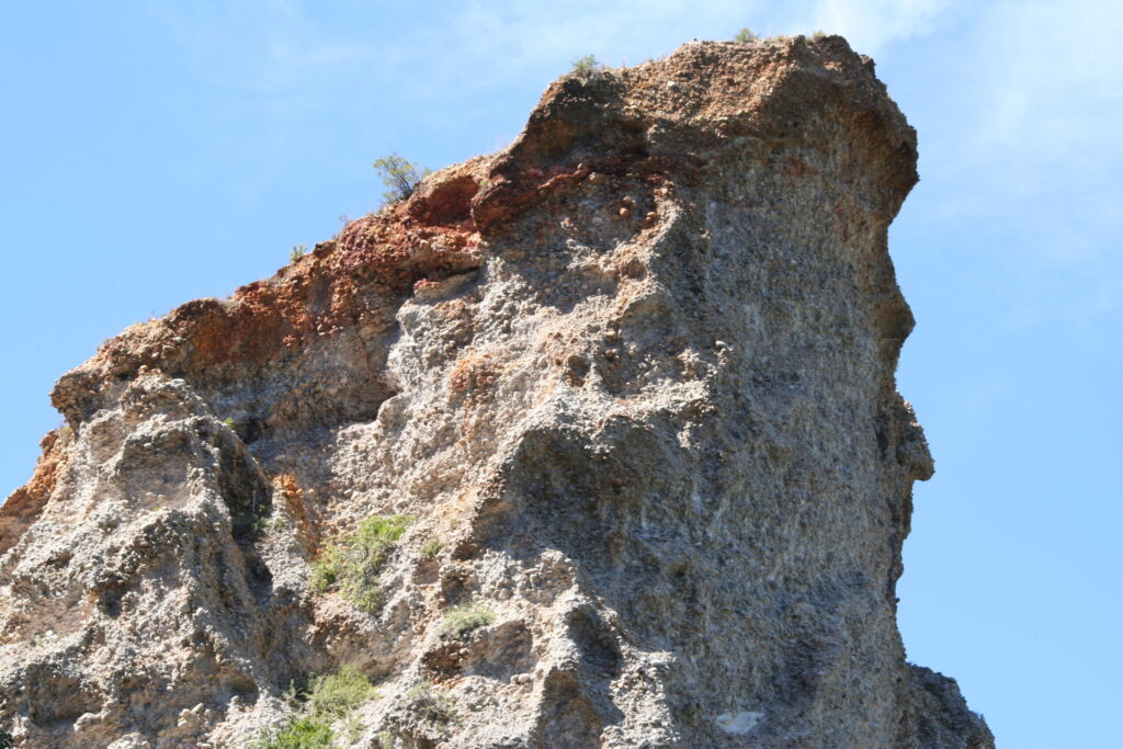
Alluvial soil is the most widespread and most agriculturally important soil in India. It covers roughly 43 percent of the country’s land area, including almost the entire Indo-Gangetic plain, the Brahmaputra valley, and the coastal deltas of the major peninsular rivers. If a single soil type feeds the Indian population, it is alluvium. Wheat in Punjab and Haryana, rice in West Bengal and Bihar, sugarcane in Uttar Pradesh, jute in the Brahmaputra valley, all grow on alluvial soil. Compared with the cotton-belt black soil of the peninsula, alluvium is younger, more variable, and on the whole more fertile.
The soil itself is not formed in situ. It is the deposit of sediment that rivers carry from the Himalaya and from peninsular India and dump along their floodplains, in their deltas, and across the coastal lowlands. Because the source rock keeps changing as rivers wind across thousands of kilometres, alluvial soil has no single chemistry or texture. It is a family of soils held together by a common origin in river deposition, and the way it varies tells you a lot about the river that built it.
Formation: Rivers as Soil Factories
Alluvial soil owes its existence to the work of rivers. Every monsoon, the major Himalayan rivers carry an enormous load of suspended sediment from the rising mountain front. The Ganga, the Brahmaputra, and the Indus together deliver billions of tonnes of silt and clay to their plains and deltas each year. When the floodwaters spill out of the channel onto the surrounding land, the slowing current drops its load, and a fresh skin of alluvium is laid over the plain.
This is not a one-off event. The Indo-Gangetic plain has been the recipient of Himalayan sediment for tens of millions of years, since the Indian plate first collided with the Eurasian and the proto-Ganga began draining the rising orogen. The result is a thickness of alluvium that runs to thousands of metres at the foot of the Himalaya, thinning gradually as you move south towards the peninsular shield. The peninsular rivers, including the Godavari, Krishna, Mahanadi, and Cauvery, build their own deltaic alluvium where they meet the sea.
The connection to fluvial landforms is direct. Every floodplain, every natural levee, every delta lobe is built of alluvial soil. The geometry of these landforms tells you where to expect older alluvium versus newer alluvium, deeper alluvium versus shallower alluvium, and finer-textured deposits versus coarser ones.
Two Sources, Two Flavours
Indian alluvium has two principal sources. The Himalayan rivers carry sediment from quartzite, limestone, sandstone, and igneous rocks of the high mountains. Their alluvium is grey to brown, calcareous, and relatively rich in mica. The peninsular rivers carry sediment from the granite, gneiss, and basalt of the Indian shield. Their alluvium is darker, less calcareous, and often richer in iron-bearing minerals where it picks up weathered Deccan basalt. Both qualify as alluvial soil, but a soil scientist can usually tell them apart from a single profile.
Khadar versus Bhangar: The Old and the New
Indian geography divides alluvium into two age classes, and the names come from Hindi rather than Latin. Khadar is the newer alluvium, deposited by recent floods, found close to the present river channel on the active floodplain. It is light grey, sandy to silty, lower in carbonate, and freshly fertile because each flood season tops it up with a new sediment layer. Bhangar is the older alluvium, deposited in earlier geological time, found on the terraces above the active floodplain, sometimes ten metres or more above the present river level. It is darker, more clayey, richer in calcium carbonate nodules called kankar, and chemically more mature.
The two have different agricultural behaviour. Khadar floods almost every year in normal monsoons, which makes it productive but risky for permanent crops or built infrastructure. Bhangar sits above the floodline and supports the towns, villages, and major irrigation infrastructure of the Gangetic plain. The pattern of khadar belts along the river and bhangar terraces between them gives the plain its characteristic morphology, visible from space as parallel bands of slightly different colour and texture.
The kankar in bhangar deserves a note. These calcium carbonate concretions form when groundwater carrying dissolved bicarbonate evaporates near the soil surface during the dry season. Kankar layers can become thick enough to impede root penetration and drainage, and in some bhangar areas farmers have to break up the kankar pan to plant deep-rooted crops. The same dry-season evaporation that builds kankar also leaves the surface slightly more alkaline than the equivalent depth in khadar.
Bhabar and Tarai
Two further sub-divisions matter for the foothill alluvium. Bhabar is the belt of coarse gravel and boulders laid down where the Himalayan rivers emerge from the mountains onto the plain. Its texture is too coarse to hold water near the surface, so the rivers disappear into the bhabar and re-emerge at its southern edge as the springs that feed the tarai. The tarai is the marsh belt south of the bhabar, water-logged, malarial in the historical record, and only made cultivable in the twentieth century after extensive drainage. Together bhabar and tarai mark the northern boundary of the alluvial plain.
Characteristics of Alluvial Soil
The texture of alluvium varies from sand to silt to clay, depending on how far from the river channel the deposit was laid down. Near the channel, where the current is faster, only coarse particles settle. Far from the channel, on the floodplain margin, only the finest clay survives the journey. Most agricultural alluvium is loamy, a mix of sand, silt, and clay that holds moisture without waterlogging and allows root penetration without crumbling.
The chemistry of alluvial soil is generally favourable. It is rich in potash and lime, neutral to slightly alkaline, and moderate in phosphorus. The mineral fraction includes mica and feldspar that release potassium slowly over time, which is why the Indo-Gangetic plain rarely needs heavy potash fertilisation. The colour ranges from pale grey in fresh khadar to darker grey or brown in older bhangar, with the deltaic alluvium of West Bengal sometimes shading towards black where the river crosses black soil country before discharging.
The Nitrogen Gap
The one consistent weakness of alluvial soil is nitrogen. The organic matter content is low because the hot dry season oxidises plant residue quickly and because intensive cropping has been the norm for centuries. Nitrogen is the limiting nutrient on almost every alluvial farm in India. The Green Revolution of the 1960s and 1970s was, at its core, a programme to push nitrogen fertiliser into rice and wheat on alluvial soils, and the response was dramatic precisely because nitrogen was the binding constraint. Today’s urea consumption on the alluvial plains is among the highest per hectare in the world, with all the groundwater and runoff problems that come with it.
Phosphorus is moderate, often adequate without fertilisation in older bhangar, deficient in newer khadar. Zinc and iron deficiencies appear in pockets, particularly under continuous flooded rice. Boron deficiency shows up in West Bengal and the Brahmaputra valley. None of these are universal, and the variation across the alluvial plain is one reason that soil testing matters more here than the broad classification might suggest.
Distribution: Where Alluvium Sits
The alluvial belt of India runs across the north of the country from Punjab in the west to Assam in the east. It widens through Uttar Pradesh and Bihar to several hundred kilometres, then narrows again as the Brahmaputra valley constricts between the Himalaya and the Patkai hills. The Indus alluvium continues into Pakistan, and the Brahmaputra alluvium into Bangladesh. South of the Vindhyas, true Indo-Gangetic alluvium gives way to peninsular soils, but riverine alluvium continues along the major peninsular rivers and broadens into the coastal deltas.
The deltaic alluvium of the Ganga-Brahmaputra system in West Bengal is among the most fertile soils on earth, sustaining the highest agricultural population densities in India. The Mahanadi delta in Odisha, the Godavari and Krishna deltas in Andhra Pradesh, and the Cauvery delta in Tamil Nadu support intensive rice cultivation on similar deltaic alluvium. These deltas connect the river-soil story directly to the coastal plains chapter of Indian geography.
Riverine versus Deltaic
Riverine alluvium, laid down along the course of a river, is usually arranged in parallel bands corresponding to the floodplain, the natural levees, and the back-swamp. The bands are linear and follow the river. Deltaic alluvium, laid down where a river meets a still body of water, fans out in a triangular or arcuate shape. The Ganga-Brahmaputra delta is arcuate, building outward into the Bay of Bengal. The Krishna and Godavari deltas are more rounded. The Mahanadi delta is locked between two headlands. Each has its own pattern of distributary channels, levees, and reclaimed land, but the underlying soil is alluvium in all cases.
Crops on Alluvial Soil
The crop economy of alluvial India is enormous and varied. Rice dominates wherever rainfall and irrigation allow standing water in the field, which means the eastern Indo-Gangetic plain, the Brahmaputra valley, the deltaic alluvium of the coasts, and the irrigated rice areas of Punjab. Wheat dominates the rabi season across the entire alluvial belt, peaking in Punjab and Haryana with the highest yields in the country. Sugarcane, with its long growing season and high water demand, occupies large areas of Uttar Pradesh and Bihar on the alluvium of the central Ganga plain.
Cotton, although associated more with black soil, grows on the alluvial soils of Punjab and Haryana where irrigation is reliable. Maize is increasing across the central Ganga plain. Pulses, particularly arhar and gram, are scattered through the drier western alluvium. Oilseeds, jute in the eastern deltaic belt, tobacco in Andhra Pradesh and Bihar, and a wide range of vegetables and fruits depending on local market access round out the cropping pattern.
The seasonal rhythm matters. The kharif (summer-monsoon) season carries rice, sugarcane, cotton, and maize. The rabi (winter) season carries wheat, mustard, gram, and lentil. The zaid (short summer) season carries melons, cucumbers, and short-duration vegetables. Three crops a year on the same field is common in the central and eastern Gangetic plain, made possible by the moisture-holding capacity and nutrient release of alluvial soil under irrigation.
Limitations and Concerns
The Achilles heel of alluvial agriculture is groundwater depletion. The wheat-rice rotation of Punjab and Haryana, possible only because alluvial soil supports both crops, has driven groundwater tables down by metres each decade. Salinity and sodicity appear in canal-irrigated areas where drainage is inadequate, particularly in western Uttar Pradesh and parts of Rajasthan. Waterlogging is the other side of the same coin, in low-lying tracts of the deltaic belt and in the tail-end command areas of major irrigation projects.
Soil erosion on the alluvium is less dramatic than on the Deccan, because slopes are gentler, but gully erosion is severe in the badlands of the Chambal and Yamuna ravines in northern Madhya Pradesh and southern Uttar Pradesh. Floods deposit fresh alluvium in the long run, but in any single year a flood can also strip topsoil from fields, destroy standing crops, and wash sand layers onto productive land. The Kosi river in Bihar is the textbook case.
The diffuse loss of fertility from continuous intensive cropping, often called soil fatigue, is a slower and quieter problem. Yields plateau, fertiliser efficiency declines, and micronutrient deficiencies expand. Reversing the trend requires organic amendments, crop rotation, and reduced cropping intensity in some tracts, which is hard to deliver politically because farmers depend on the existing system for income.
Alluvial Soil and the UPSC Syllabus
For UPSC, the testable points on alluvial soil cluster around four themes. First, the formation: rivers, floods, the difference between Himalayan and peninsular sources, the role of deposition rather than in-situ weathering of the kind that builds black soil. Second, the khadar-bhangar distinction, with bhabar and tarai as foothill sub-types. Third, the chemistry: fertile, neutral to alkaline, rich in potash, deficient in nitrogen and often phosphorus. Fourth, distribution and crops: the Indo-Gangetic plain, the Brahmaputra valley, the coastal deltas, with rice, wheat, sugarcane, jute, and cotton as the headline crops.
Prelims questions often pair alluvial soil with black soil on chemistry, with laterite on weathering regime, or with desert soil on rainfall and crop pattern. Mains questions tend to address irrigation, groundwater, the Green Revolution legacy, and the link between fluvial landforms and soil distribution. The connection to types of weathering is indirect, because alluvium is a transported soil, but the source rocks of the sediment are themselves weathered before they enter the river system.
Frequently Asked Questions
What is alluvial soil?
Alluvial soil is the soil formed by river deposition. Rivers carry sediment from upland source areas and drop it on floodplains, levees, and deltas. The deposited material, over time, becomes the alluvial soil that covers the floodplains of the Indo-Gangetic plain, the Brahmaputra valley, and the peninsular river deltas.
What is the difference between khadar and bhangar?
Khadar is the newer alluvium of the active floodplain, refreshed each monsoon by fresh sediment. It is light grey, sandy to silty, low in carbonate, and floods regularly. Bhangar is the older alluvium of higher terraces, darker, more clayey, with kankar concretions of calcium carbonate, and above the normal floodline.
Why is alluvial soil so fertile?
Because rivers keep delivering fresh nutrients, because the texture is loamy enough to hold water without waterlogging, because the mineral fraction releases potassium slowly, and because the climate of the alluvial plains supports multiple crops a year. The fertility is not perfect, however, and nitrogen and sometimes phosphorus must be supplied by fertiliser.
Which crops grow on alluvial soil?
Rice, wheat, sugarcane, jute, maize, pulses, oilseeds, cotton in irrigated tracts, and a wide range of vegetables and fruits. The Indo-Gangetic plain on alluvial soil is the largest contiguous wheat and rice belt in India.
What is the main deficiency of alluvial soil?
Nitrogen. The organic matter content is low and intensive cropping has depleted what nitrogen the natural cycle would supply. The Green Revolution response was built around nitrogen fertiliser application, and urea remains the dominant fertiliser on alluvial farms.
Where is alluvial soil found in India?
Across the Indo-Gangetic plain from Punjab to West Bengal, through the Brahmaputra valley, and along the deltas of the Mahanadi, Godavari, Krishna, and Cauvery rivers. It is the most widely distributed soil in the country, covering about 43 percent of the land area.
What is the difference between riverine and deltaic alluvium?
Riverine alluvium runs in linear bands along the course of a river, arranged into floodplain, levee, and back-swamp. Deltaic alluvium fans out where a river meets the sea or another standing water body, building a triangular or arcuate landform with distributary channels.
How does alluvial soil compare with black soil?
Alluvial soil is transported by rivers, varies widely in texture, is generally fertile, low in nitrogen, and covers the northern plains and coastal deltas. Black soil is formed in situ from Deccan basalt, is uniformly clayey, holds water tightly, cracks deeply in summer, and centres on Maharashtra and Madhya Pradesh. The two are the two pillars of Indian soil geography and the most likely pairing in any comparative exam question.
Tell Google you want more of this.
Add Anantam IAS as a preferred sourceOne tap, and this site shows up more often in your own Top Stories, AI Overviews and AI Mode. Remove it any time.






